MyTopo
Bassett Iowa US Topo Map
Couldn't load pickup availability
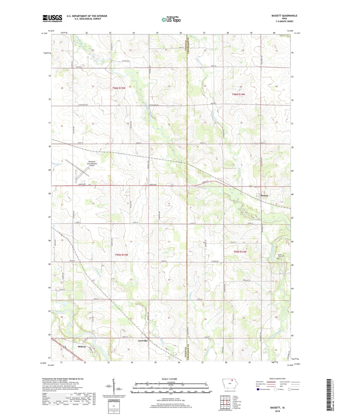
2022 topographic map quadrangle Bassett in the state of Iowa. Scale: 1:24000. Based on the newly updated USGS 7.5' US Topo map series, this map is in the following counties: Floyd, Chickasaw. The map contains contour data, water features, and other items you are used to seeing on USGS maps, but also has updated roads and other features. This is the next generation of topographic maps. Printed on high-quality waterproof paper with UV fade-resistant inks.
Quads adjacent to this one:
West: Charles City
Northwest: Floyd
North: Colwell
Northeast: Elma
East: Ionia
Southeast: Tripoli NW
South: Nashua
Southwest: Nashua NW
This map covers the same area as the classic USGS quad with code o43092a5.
Contains the following named places: Bassett, Bassett Post Office, Beaver Creek, Bunns Wood County Park, Carrville, Carrville Post Office, Cedar View Cemetery, Chickasaw County Park, City of Bassett, Midway, Northeast Iowa Regional Airport, Winterink Woods