MyTopo
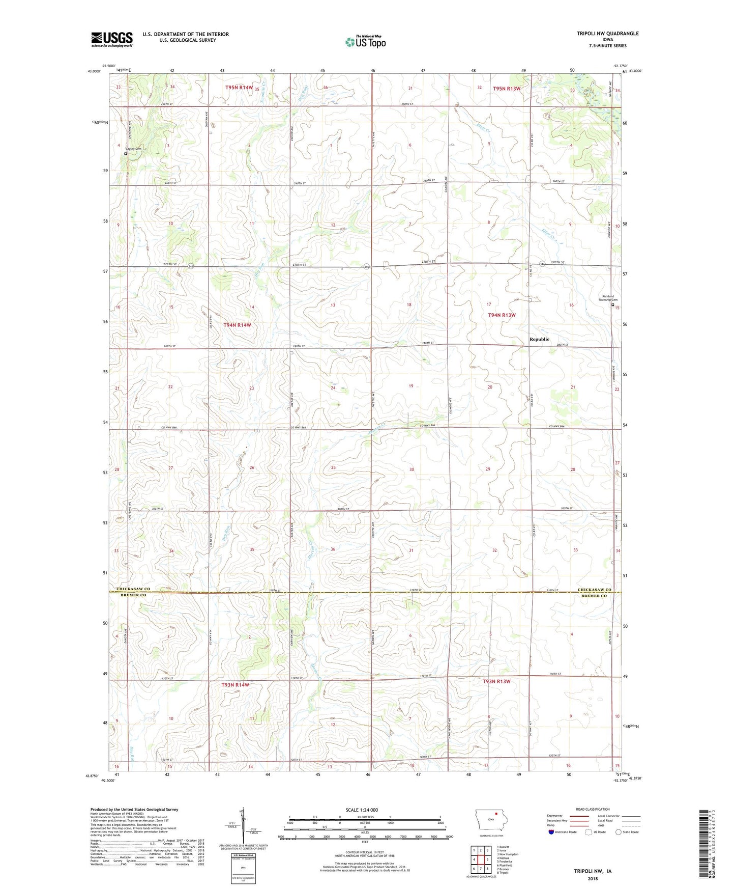
Tripoli NW Iowa US Topo Map
Couldn't load pickup availability
2022 topographic map quadrangle Tripoli NW in the state of Iowa. Scale: 1:24000. Based on the newly updated USGS 7.5' US Topo map series, this map is in the following counties: Chickasaw, Bremer. The map contains contour data, water features, and other items you are used to seeing on USGS maps, but also has updated roads and other features. This is the next generation of topographic maps. Printed on high-quality waterproof paper with UV fade-resistant inks.
Quads adjacent to this one:
West: Nashua
Northwest: Bassett
North: Ionia
Northeast: New Hampton
East: Frederika
Southeast: Tripoli
South: Bremer
Southwest: Plainfield
This map covers the same area as the classic USGS quad with code o42092h4.
Contains the following named places: Cagley Cemetery, Dickey Post Office, Knott Post Office, Little Wapsipinicon River, Nelson Wildlife Area, Pony, Pony Post Office, Republic, Republic Community Church, Republic Post Office, Richland Township Cemetery, Township of Bradford, Township of Richland, Twomile Creek, Wapsi Junction Park