MyTopo
Bedford Iowa US Topo Map
Couldn't load pickup availability
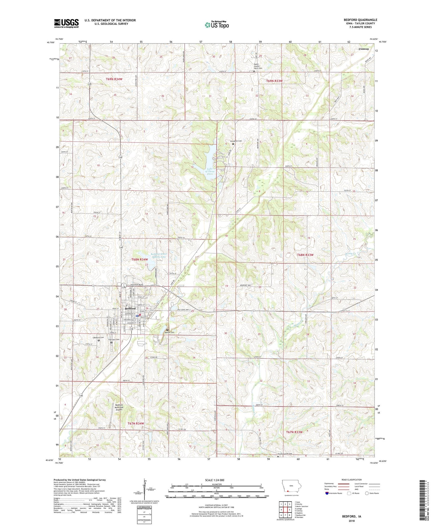
2022 topographic map quadrangle Bedford in the state of Iowa. Scale: 1:24000. Based on the newly updated USGS 7.5' US Topo map series, this map is in the following counties: Taylor. The map contains contour data, water features, and other items you are used to seeing on USGS maps, but also has updated roads and other features. This is the next generation of topographic maps. Printed on high-quality waterproof paper with UV fade-resistant inks.
Quads adjacent to this one:
West: Ladoga
Northwest: Guss
North: Gravity
Northeast: Merle Junction
East: Conway
Southeast: Sheridan
South: Bedford SW
Southwest: Hopkins
This map covers the same area as the classic USGS quad with code o40094f6.
Contains the following named places: Alegent Health Clinic, Baptist Church, Bedford, Bedford Cemetery, Bedford City Hall, Bedford City Park, Bedford City Public Library, Bedford Elementary School, Bedford Fire Department, Bedford Golf Course, Bedford High School, Bedford Middle School, Bedford Municipal Airport, Bedford Nursing and Rehabilitation Center, Bedford Post Office, Bedford Water Supply Dam, Bedford Water Supply Lake, City of Bedford, Fairview Cemetery, Family Practice Clinic, Forest Grove Cemetery, Hamilton Memorial Lutheran Church, Harmony Post Office, Kingdom Hall of Jehovahs Witnesses, Lake Binder Park, Lake of the Three Fires, Lake of the Three Fires Dam, Lake of Three Fires, Lake of Three Fires State Park, Lexington, Lexington Cemetery, Lexington Post Office, Mohler Cemetery, Revelation Light of Jesus Christ Church, Saint Francis Hardin Medical Clinic, Saint Timothy Lutheran Church, Seventh Day Adventist Church, Simmons Tract Park, Taylor County, Taylor County Courthouse, Taylor County Emergency Medical Services, Taylor County Fairgrounds, Taylor County Farm Cemetery, Taylor County Historical Museum, Taylor County Home, Taylor County Sheriff's Office, Township of Bedford, Township of Clayton, United Christian Presbyterian Church, United Methodist Church, ZIP Code: 50833


