MyTopo
Conway Iowa US Topo Map
Couldn't load pickup availability
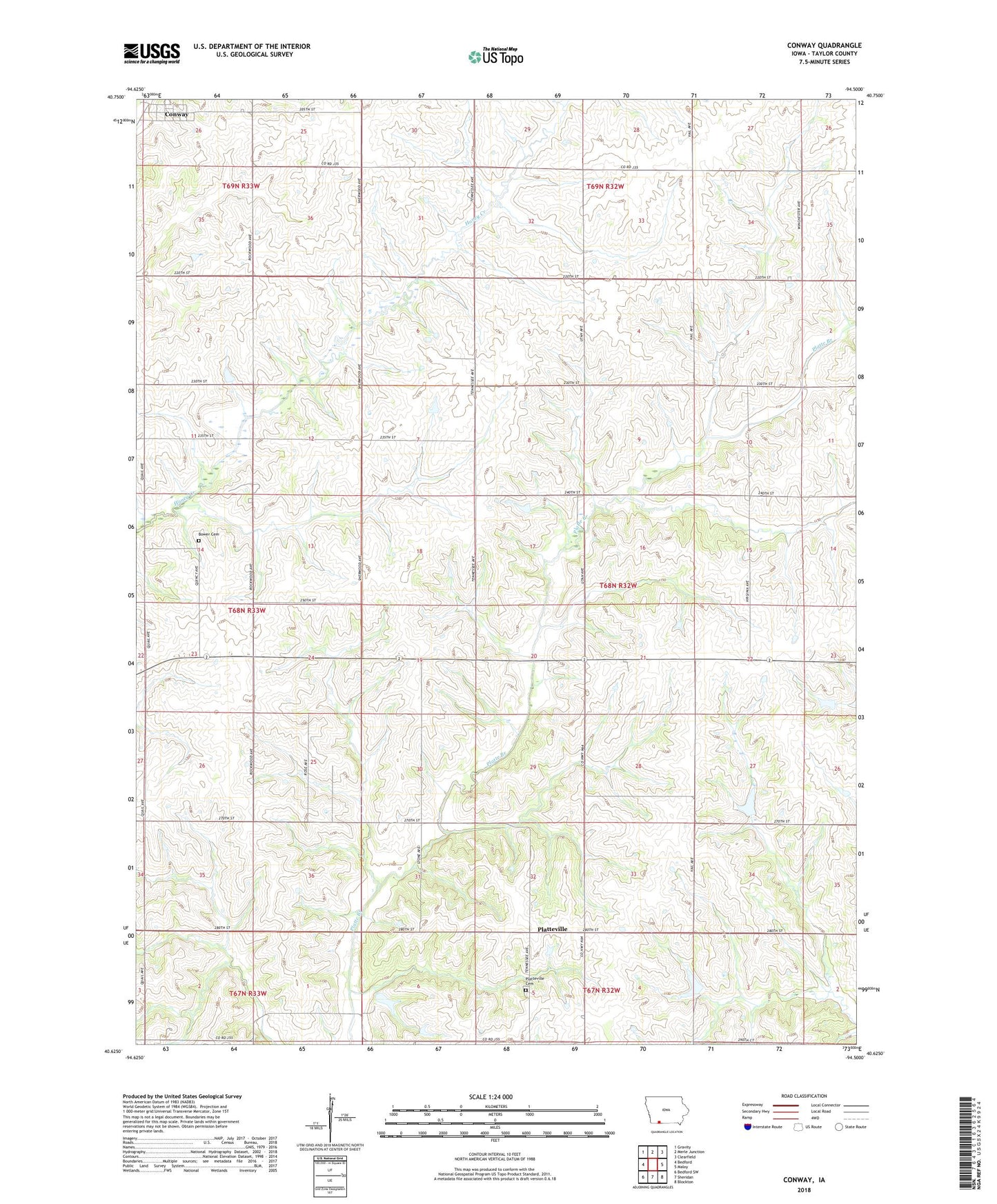
2022 topographic map quadrangle Conway in the state of Iowa. Scale: 1:24000. Based on the newly updated USGS 7.5' US Topo map series, this map is in the following counties: Taylor. The map contains contour data, water features, and other items you are used to seeing on USGS maps, but also has updated roads and other features. This is the next generation of topographic maps. Printed on high-quality waterproof paper with UV fade-resistant inks.
Quads adjacent to this one:
West: Bedford
Northwest: Gravity
North: Merle Junction
Northeast: Clearfield
East: Maloy
Southeast: Blockton
South: Sheridan
Southwest: Bedford SW
This map covers the same area as the classic USGS quad with code o40094f5.
Contains the following named places: Bowers Cemetery, City of Conway, Conway, Conway Post Office, French Nature Preserve Wildlife Refuge, Platteville, Platteville Cemetery, Platteville Post Office, Sands Timber and Recreation Area, Township of Gay