MyTopo
Buffalo Center SW Iowa US Topo Map
Couldn't load pickup availability
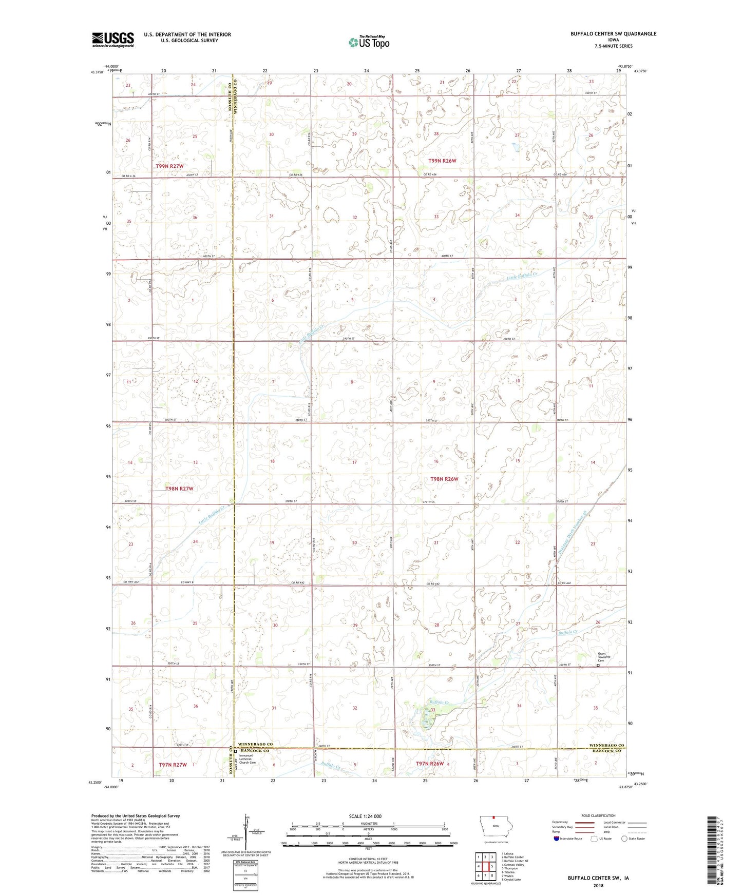
2022 topographic map quadrangle Buffalo Center SW in the state of Iowa. Scale: 1:24000. Based on the newly updated USGS 7.5' US Topo map series, this map is in the following counties: Winnebago, Kossuth, Hancock. The map contains contour data, water features, and other items you are used to seeing on USGS maps, but also has updated roads and other features. This is the next generation of topographic maps. Printed on high-quality waterproof paper with UV fade-resistant inks.
Quads adjacent to this one:
West: German Valley
Northwest: Lakota
North: Buffalo Center
Northeast: Buffalo Center NE
East: Thompson
Southeast: Crystal Lake
South: Woden
Southwest: Titonka
This map covers the same area as the classic USGS quad with code o43093c8.
Contains the following named places: Buffalo Center Airport, Drainage Ditch Number 48, Grant Township Cemetery, Grant Township Wildlife Area, Gruis Recreation Area, Immanuel Church, Immanuel Lutheran Church Cemetery, Steen Post Office, Township of Grant