MyTopo
Clarion Iowa US Topo Map
Couldn't load pickup availability
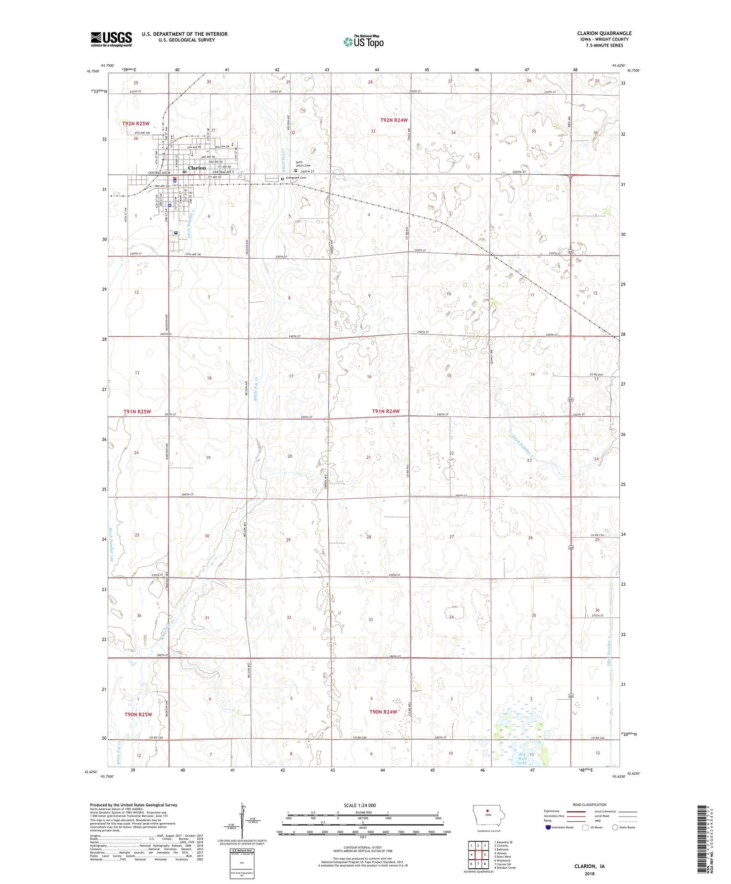
2022 topographic map quadrangle Clarion in the state of Iowa. Scale: 1:24000. Based on the newly updated USGS 7.5' US Topo map series, this map is in the following counties: Wright. The map contains contour data, water features, and other items you are used to seeing on USGS maps, but also has updated roads and other features. This is the next generation of topographic maps. Printed on high-quality waterproof paper with UV fade-resistant inks.
Quads adjacent to this one:
West: Holmes
Northwest: Kanawha SE
North: Cornelia
Northeast: Belmond
East: Dows West
Southeast: Sheldon Creek
South: Clarion SW
Southwest: Woolstock
This map covers the same area as the classic USGS quad with code o42093f6.
Contains the following named places: 4-H Schoolhouse Museum, 50101, 50525, Big Wall Lake Wildlife Management Area, Cargill Incorporated Elevator, Church of Christ, City of Clarion, Clarion, Clarion - Goldfield - Dows Elementary School, Clarion - Goldfield - Dows High School, Clarion - Goldfield - Dows Middle School, Clarion Ambulance Service, Clarion Chiropractic Clinic, Clarion Culture Center, Clarion Fire Department, Clarion Health Care Center, Clarion Police Department, Clarion Post Office, Clarion Sewage Treatment Plant, Clarmond Country Club, Ditch Number 144, Ditch Number 149, Ditch Number 3, Ditch Number 5, Empire, Empire Post Office, Evergreen Cemetery, Gazebo Park, Iowa Specialty Hospital - Clarion, Jehovah's Witness Kingdom Hall, KRIT-FM (Clarion), Lutheran Church, Mid-Iowa Surgery, Morhain, Morhain Post Office, Nazarene Church, Prairie Smoke Wildlife Area - West Unit, Rock Island Depot, Saint Johns Catholic Church, Saint Johns Cemetery, Sollberg, Township of Lincoln, Trimark Physicians Clinic, Union Church, United Church of Christ, United Methodist Church, United Presbyterian Church, Wright County, Wright County Courthouse, Wright County Jail, Wright County Sheriff's Office