MyTopo
Conrad West Iowa US Topo Map
Couldn't load pickup availability
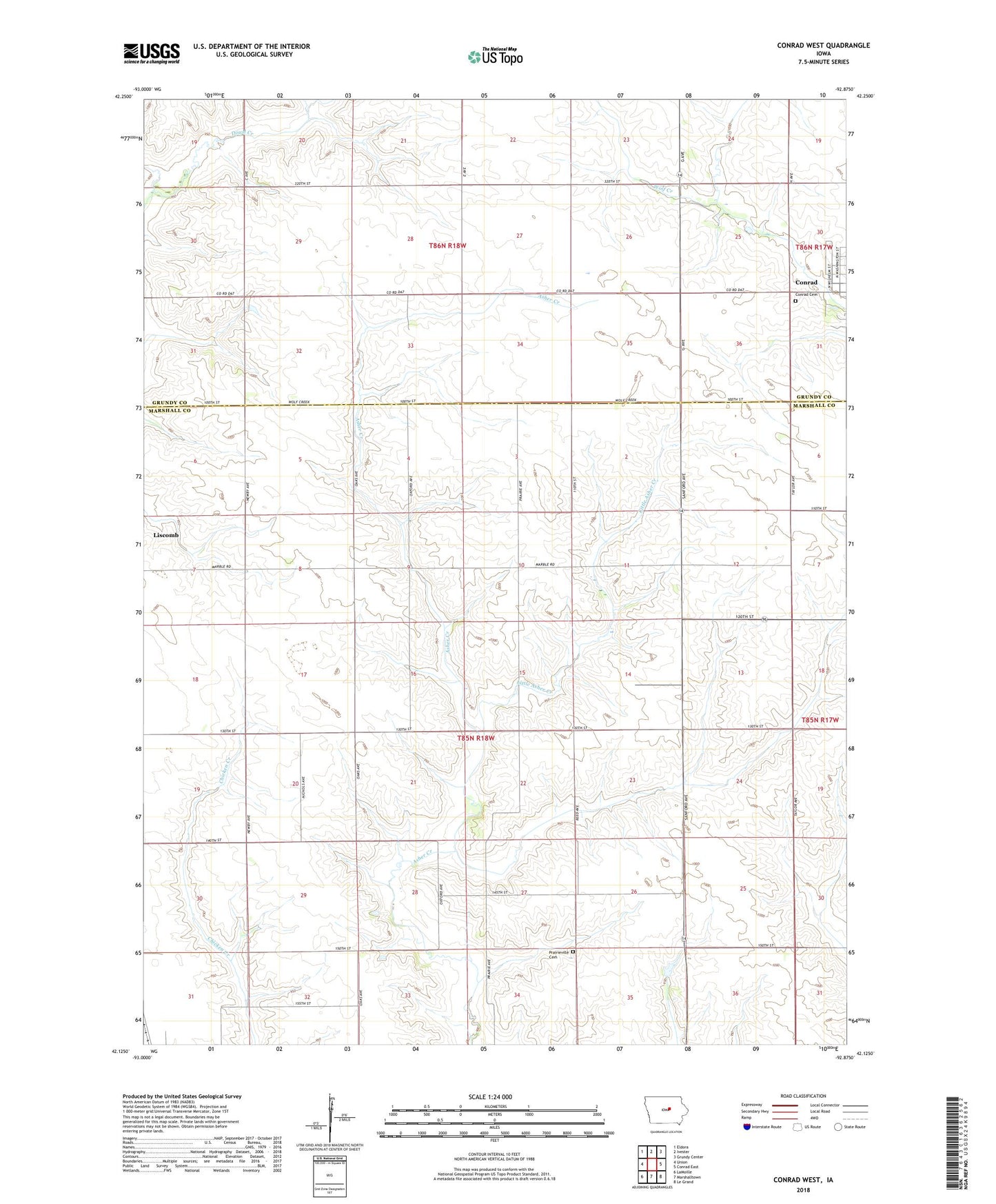
2022 topographic map quadrangle Conrad West in the state of Iowa. Scale: 1:24000. Based on the newly updated USGS 7.5' US Topo map series, this map is in the following counties: Marshall, Grundy. The map contains contour data, water features, and other items you are used to seeing on USGS maps, but also has updated roads and other features. This is the next generation of topographic maps. Printed on high-quality waterproof paper with UV fade-resistant inks.
Quads adjacent to this one:
West: Union
Northwest: Eldora
North: Ivester
Northeast: Grundy Center
East: Conrad East
Southeast: Le Grand
South: Marshalltown
Southwest: LaMoille
This map covers the same area as the classic USGS quad with code o42092b8.
Contains the following named places: Conrad Cemetery, Leise Landing Strip, Little Asher Creek, Maulsby, Maulsby Post Office, Prairieville Cemetery, Township of Liscomb, ZIP Code: 50148