MyTopo
Marshalltown Iowa US Topo Map
Couldn't load pickup availability
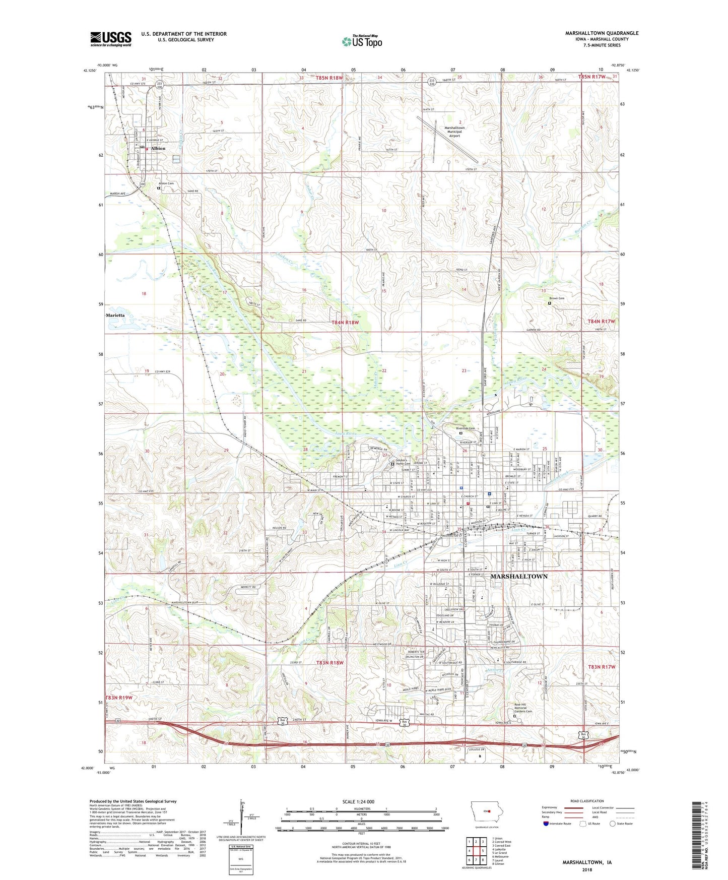
2022 topographic map quadrangle Marshalltown in the state of Iowa. Scale: 1:24000. Based on the newly updated USGS 7.5' US Topo map series, this map is in the following counties: Marshall. The map contains contour data, water features, and other items you are used to seeing on USGS maps, but also has updated roads and other features. This is the next generation of topographic maps. Printed on high-quality waterproof paper with UV fade-resistant inks.
Quads adjacent to this one:
West: LaMoille
Northwest: Union
North: Conrad West
Northeast: Conrad East
East: Le Grand
Southeast: Gilman
South: Laurel
Southwest: Melbourne
This map covers the same area as the classic USGS quad with code o42092a8.
Contains the following named places: Albion, Albion Cemetery, Albion Community Center, Albion Emergency Medical Service, Albion Fire Station, Albion Municipal Library, Albion Post Office, Albion Town Hall, Anson Creek, Anson Elementary School, Anson Park, Anson Park Junior High School, Arnold Park, Asher Creek, Assistance League Park, B P W Park, Bethany United Methodist Church, Brown Cemetery, Buena Vista University - Marshalltown Campus, Burnett Creek, Calvary Apostolic Church, Calvary Baptist Church, Center Street Baptist Church, Central Christian Church, Chicken Creek, Church of Christ, Church of God, Church of God in Christ, City of Albion, City of Marshalltown, Elm Lutheran Church, Elmwood Country Club, Evangelical Deaconess Home and Hospital, Evangelical Free Church, Eye Care Associates, Faith Assembly of God Church, Fellowship Baptist Church, First Baptist Church, First Church of the Nazarene, First Congregational Church, First Friends Church, First Pentecostal Church of God, First Presbyterian Church, First United Church of Christ, First United Methodist Church, Fisher Elementary School, Franklin Elementary School, French Park, Glick School, Grace United Methodist Church, Grandview Heights, Great Commission Church, Grimes Conservation Farm, Hansen School, Hillside Church of Christ, Hoglan Elementary School, Hope United Methodist Church, Iowa Soldiers Home, Jaycees Park, Jehovah's Witnesses, KDAO-AM (Marshalltown), KFJB-AM (Marshalltown), KFJB-FM (Marshalltown), Kiwanis Park, KXIA-FM (Marshalltown), Legion Memorial Park, Lenihan Intermediate School, Linn Creek Greenbelt, Marshall County, Marshall County Courthouse, Marshall County Historical Museum, Marshalltown, Marshalltown Area Catholic School, Marshalltown Church of Christ, Marshalltown City Hall, Marshalltown Colliseum, Marshalltown Community College, Marshalltown Fire Department, Marshalltown Foot and Ankle Clinic, Marshalltown High School, Marshalltown Medical Clinic, Marshalltown Municipal Airport, Marshalltown Pediatrics Clinic, Marshalltown Police Department, Marshalltown Post Office, Marshalltown Public Library, Marshalltown Residential Center, Marshalltown Speedway, McFarland Clinic, McFarland Clinic Southside, McFarland Eye Center, Methodist Church, Mid-Iowa Co-op Elevator, Miller Middle School, Morris Park, Morrow United Methodist Church, New Hope Christian Church, Optimist Park, Our Savior Lutheran Church, Palmer School, Peterson Park, Pleasant Hill School, Presbyterian Church, Redeemer Lutheran Church, Reorganized Church of Jesus Christ of Latter Day Saints, Riverside Cemetery, Riverview Park, Rogers Elementary School, Rose Hill Memorial Gardens Cemetery, Saint Henry's Catholic Church, Saint Mary's Catholic Church, Saint Paul's Episcopal Church, Salvation Army Citadel, Second Baptist Church, Seventh-Day Adventist Church, Site of First Log Cabin in Marshalltown Historical Marker, Soldier's Home Cemetery, Southridge Nursing and Rehab Center, Starlite Mobile Home Park, Sunset Village Mobile Home Park, Susie Sower Park, Tankersly Park, The Church of Jesus Christ of Latter Day Saints, Timber Creek Park, Township of Iowa, Township of Marshall, Township of Taylor, Trinity Lutheran Church, Unity Point Health - Marshalltown Hospital, Vinyard Christian Church, Wandering Creek Golf Course, Weatherbee School Museum, Wesleyan Church, Wolfe Clinic, Woodbury Elementary School, Word of Promise Church, ZIP Code: 50158


