MyTopo
Edna Iowa US Topo Map
Couldn't load pickup availability
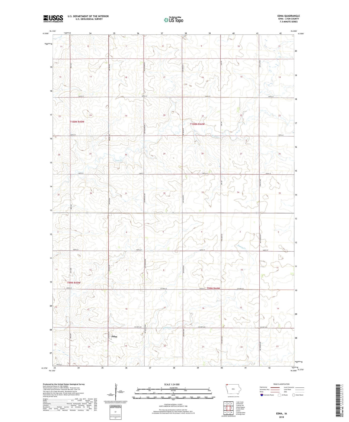
2022 topographic map quadrangle Edna in the state of Iowa. Scale: 1:24000. Based on the newly updated USGS 7.5' US Topo map series, this map is in the following counties: Lyon. The map contains contour data, water features, and other items you are used to seeing on USGS maps, but also has updated roads and other features. This is the next generation of topographic maps. Printed on high-quality waterproof paper with UV fade-resistant inks.
Quads adjacent to this one:
West: Rock Rapids
Northwest: Ash Creek
North: Ellsworth
Northeast: Adrian SW
East: Little Rock
Southeast: George East
South: George West
Southwest: Doon
This map covers the same area as the classic USGS quad with code o43096d1.
Contains the following named places: Dirks Farms, E and N Farms, Edna, Edna Elevator Company Elevator, Edna Post Office, Huisman Farms, K and T Farm, Klas Farm, Klinkenborg Farms, Midland, Midland Townhall, Pork Hock Farms, Tak Farm, Timmer Farms, Township of Liberal, Township of Midland