
MyTopo
Fairfield North Iowa US Topo Map
Couldn't load pickup availability
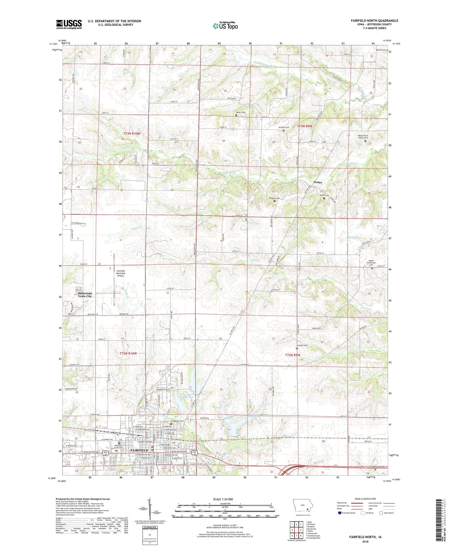
2022 topographic map quadrangle Fairfield North in the state of Iowa. Scale: 1:24000. Based on the newly updated USGS 7.5' US Topo map series, this map is in the following counties: Jefferson. The map contains contour data, water features, and other items you are used to seeing on USGS maps, but also has updated roads and other features. This is the next generation of topographic maps. Printed on high-quality waterproof paper with UV fade-resistant inks.
Quads adjacent to this one:
West: Brookville
Northwest: Ollie
North: Richland
Northeast: Brighton
East: Salina
Southeast: Lockridge West
South: Fairfield South
Southwest: Libertyville
This map covers the same area as the classic USGS quad with code o41091a8.
Contains the following named places: Allergy Asthma and Sinus Center, Annapurna Dining Hall, Antioch Cemetery, Antioch Church, Assembly of God Church, Bagambhrini Golden Dome, Baker Post Office, Beth Shalom Synagogue, Bethesda Cemetery, Bethesda Church, Building 402, Central Baptist Church, Central Park, Chautauqua Park, City of Fairfield, College Medical Associates Center, Elm Grove School, Evergreen Cemetery, Fairfield, Fairfield City Hall, Fairfield Clinic Professional, Fairfield Dental Clinic, Fairfield Fire Department, Fairfield Foot and Ankle Clinic, Fairfield High School, Fairfield Law Enforcement Center, Fairfield Municipal Airport, Fairfield Post Office, Fairfield Public Library, Fairfield United Methodist Church, Family Chiropractic Center, Field House, First Baptist Church, First Christian Church, First Church of the Nazarene, First Iowa State Fair 1854 Historical Marker, First Lutheran Church, First Presbyterian Church, First United Methodist Church, Forest Park, Free Methodist Church, Heartland Eye Care Center, Henn Mansion, Heritage Park, High Rise 140, High Rise 141, High Rise 142, High Rise 143, High Rise 144, Holt Family Dental Care Center, Howard Dormitory, Howard Park, Hunt Chiropractic Center, Iowa City Heart Center, Jefferson County, Jefferson County Area Ambulance Service, Jefferson County Courthouse, Jefferson County Fairgrounds, Jefferson County Law Enforcement Center, Jefferson County Sheriff's Office, Jubilee Christian Fellowship, Kingdom Hall of Jehovahs Witnesses, Lincoln Elementary School, Little League Park, Living Stone Fellowship, Livingston Timber Recreation Area, Maharishi International University, Maharishi Patanjali Golden Dome, Maharishi University of Management Library, Maharishi Veda Bhavan Building, Maharishi Vedic City, McLaughlin Computer Science Center, Medical Arts Clinic, Memorial Lawn Cemetery, Middle Walnut Creek, Moyer Cemetery, Parkview Care Center, Parsons College, Perlee, Perlee Cemetery, Perlee Post Office, Pleasant Grove Church, Pleasant Grove Post Office, Pumphery Park, Recreation Center, Reiff Grain and Feed Incorporated Elevator, Reservoir Number One, Reservoir Number Two, Roosevelt School, Saint Gabriel and All Angels Church, Saint Mary School, Saint Marys Catholic Church, Saint Peter Episcopal Church, Seventh Day Adventist Church, Student Union, Switzer Cemetery, Ted Dreier Building, Township of Buchanan, Township of Penn, United States Constitution Bicentennial Tree Historical Marker, Upper Richwoods Cemetery, Utopia Park, Walnut Post Office, Walton Golf Club, Walton Lake, Washington Elementary School, Waterworks Park, Westenhaver Family Cemetery, Wheeler Cemetery, Wolfe Clinic Eye Center, Yagyavalkya Learning Center, ZIP Codes: 52556, 52557


