MyTopo
Fort Dodge South Iowa US Topo Map
Couldn't load pickup availability
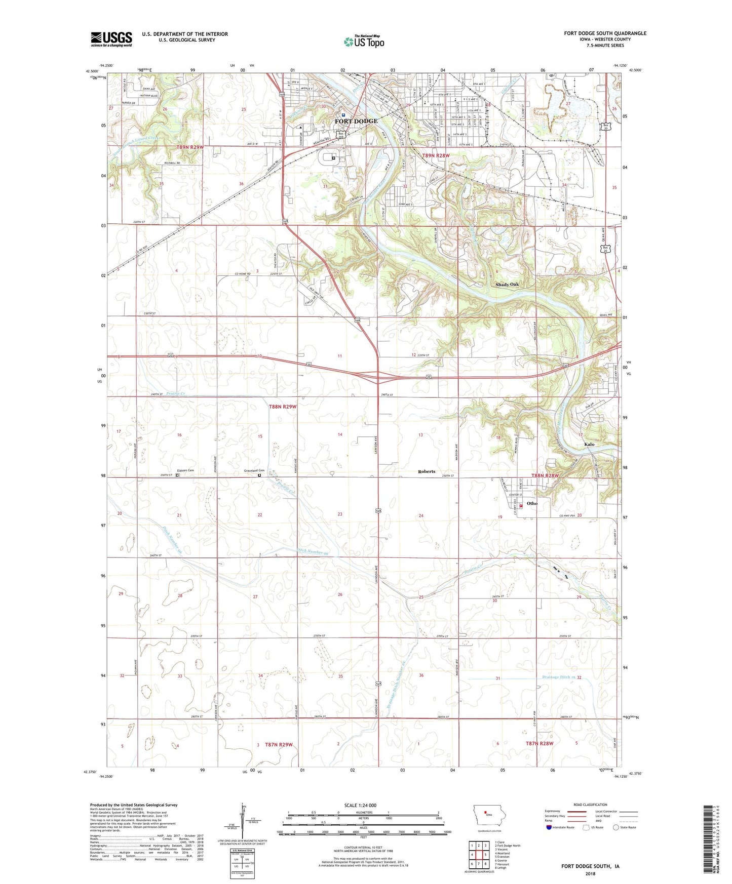
2022 topographic map quadrangle Fort Dodge South in the state of Iowa. Scale: 1:24000. Based on the newly updated USGS 7.5' US Topo map series, this map is in the following counties: Webster. The map contains contour data, water features, and other items you are used to seeing on USGS maps, but also has updated roads and other features. This is the next generation of topographic maps. Printed on high-quality waterproof paper with UV fade-resistant inks.
Quads adjacent to this one:
West: Moorland
Northwest: Clare
North: Fort Dodge North
Northeast: Vincent
East: Evanston
Southeast: Lehigh
South: Harcourt
Southwest: Gowrie
This map covers the same area as the classic USGS quad with code o42094d2.
Contains the following named places: Associated Internists Center, Bob Hay Memorial Conservation Area, Butler Elementary School, Calvary Memorial Church of God and Christ, Carbon, Carbon Junction Post Office, Carbon Post Office, Carpenter School, Church of Christ West Side, City of Otho, Coalville, Coalville Post Office, Coleman School, Community Christian School, Cypsum City, Deer Creek, Ditch Number 96, Doctor Tan's Clinic for Women, Dragoon Trail Historical Marker, Drainage Ditch 19, Drainage Ditch Number 29, East Lawn Acres Park, Elkhorn Cemetery, Elkhorn Creek, Epworth United Methodist Church, First Assembly of God Church, First Covenant Church, Fort Dodge, Fort Dodge Center Library, Fort Dodge Correctional Facility, Fort Dodge Nature Trail, Fort Dodge Post Office, Fort Dodge Veterans Administration Clinic, Fort Museum and Frontier Village, Friendship Haven Nursing Home, Full Gospel Lighthouse Church, Graceland Cemetery, Greenside, Greenside Post Office, Gypsum, Gypsum Creek, Gypsum Post Office, Highland Park School, Holy Rosary Catholic Church, Holy Rosary School, Iowa Central Community College, Jackson Centre Post Office, Kalo, Kalo Post Office, KFDC-FM (Fort Dodge), KICB-FM (Fort Dodge), KKEZ-FM (Fort Dodge), KSMX-FM (Fort Dodge), KVFD-AM (Fort Dodge), KWMT-AM (Fort Dodge), Leif Ericson Park, Linwood Hanson Park, Liska-Stanek Prairie, Mason Park, Mid Iowa Pediatrics Center, Mineral City Speedway, Mission Followers of Jesus Christ, North Central Iowa Physicians Center, Old Arnold House Historical Marker, Oleson Park, Otho, Otho City Recreation Center, Otho Elementary School, Otho Fire and Rescue, Otho Post Office, Otho-Kalo Community Church, Prince of Peace Lutheran Church, Regional Pathologists Center, Riverside Elementary School, Riverside United Methodist Church, Roberts, Shady Oak, Shady Oak Post Office, Shelton Hog Farm, Sunkissed Meadows Golf Course, Township of Elkhorn, Township of Otho, Trimark Orthopaedics and Podiatry Center, Trimark Physician Group Center, Trinity Regional Hospital Heliport, Trinity Regional Medical Center, Triumphant Church, United Methodist Church, Urology Associates Center, Webster County, Webster County Hospital, West Fort Dodge, ZIP Codes: 50501, 50569


