MyTopo
Kanawha Iowa US Topo Map
Couldn't load pickup availability
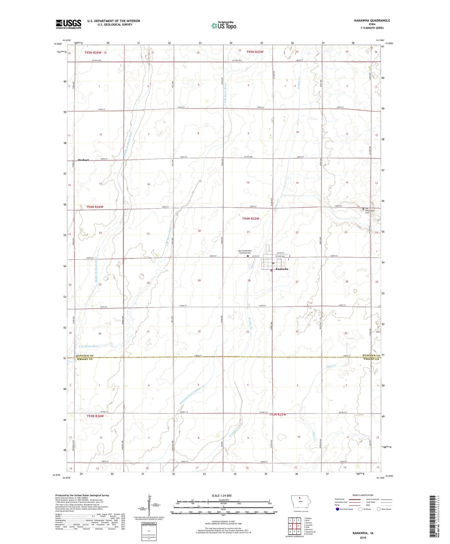
2022 topographic map quadrangle Kanawha in the state of Iowa. Scale: 1:24000. Based on the newly updated USGS 7.5' US Topo map series, this map is in the following counties: Hancock, Wright. The map contains contour data, water features, and other items you are used to seeing on USGS maps, but also has updated roads and other features. This is the next generation of topographic maps. Printed on high-quality waterproof paper with UV fade-resistant inks.
Quads adjacent to this one:
West: Corwith
Northwest: Wesley
North: Britt
Northeast: Duncan
East: Olaf
Southeast: Cornelia
South: Kanawha SE
Southwest: Renwick
This map covers the same area as the classic USGS quad with code o42093h7.
Contains the following named places: Amsterdam Township Cemetery, Christian Reformed Church, City of Kanawha, Cuba Post Office, Denhart, Drainage Ditch Number 107, Kanawha, Kanawha Christian School, Kanawha Community Nursing Home, Kanawha Fire Department, Kanawha Lutheran Church, Kanawha Medical Clinic, Kanawha Post Office, Kanawha Public Library, Liberty School Museum, Middle Branch Boone River, Mikesville Post Office, North Central Cooperative Elevator, Old Amsterdam Cemetery, Township of Amsterdam, United Methodist Church, West Hancock Ambulance Service, West Hancock Middle School, ZIP Code: 50447