MyTopo
Lawler Iowa US Topo Map
Couldn't load pickup availability
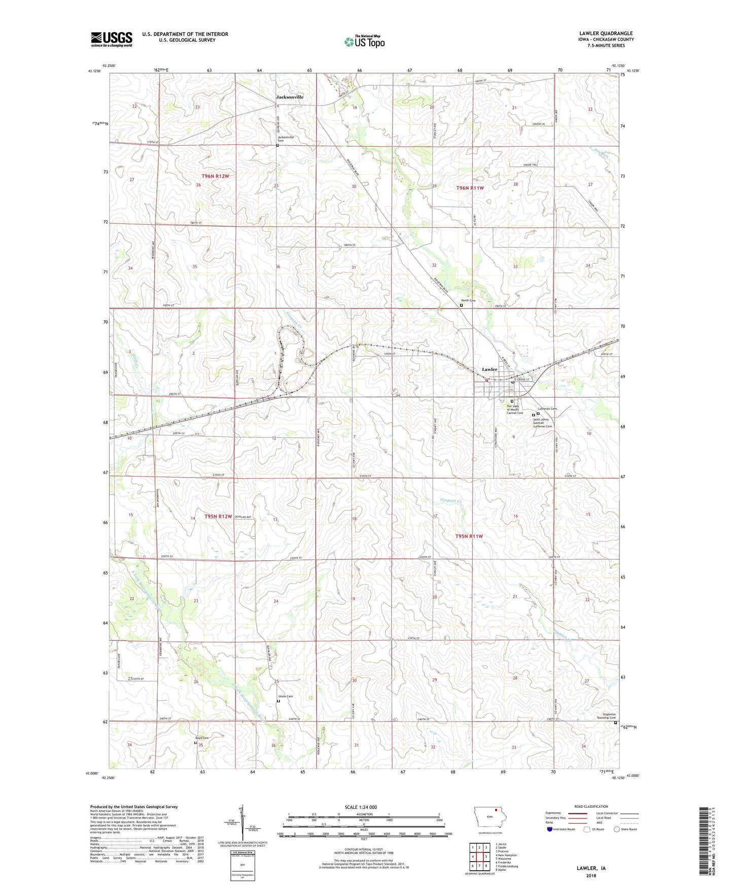
2022 topographic map quadrangle Lawler in the state of Iowa. Scale: 1:24000. Based on the newly updated USGS 7.5' US Topo map series, this map is in the following counties: Chickasaw. The map contains contour data, water features, and other items you are used to seeing on USGS maps, but also has updated roads and other features. This is the next generation of topographic maps. Printed on high-quality waterproof paper with UV fade-resistant inks.
Quads adjacent to this one:
West: New Hampton
Northwest: Jerico
North: Saude
Northeast: Protivin
East: Waucoma
Southeast: Alpha
South: Fredericksburg
Southwest: Frederika
This map covers the same area as the classic USGS quad with code o43092a2.
Contains the following named places: Adolph Munson Park, Boyd Cemetery, City of Lawler, Farmers Cooperative Elevator, Jackson Number Twelve School Museum, Jacksonville, Jacksonville Cemetery, Jacksonville Post Office, Junko Park, Lawler, Lawler First Responders, Lawler Post Office, Lawler Public Library, Lawler Town Hall, Lawler Volunteer Fire Department, Lutheran Cemetery, Nansen, New Hampton Country Club, North Cemetery, Our Lady of Mount Carmel Cemetery, Our Lady of Mount Carmel Church, Plum Creek Corner, Saint Johns German Lutheran Cemetery, Stapleton Township Cemetery, Township of Stapleton, Union Cemetery, Zillo Post Office, ZIP Code: 52154