MyTopo
Stanton SW Iowa US Topo Map
Couldn't load pickup availability
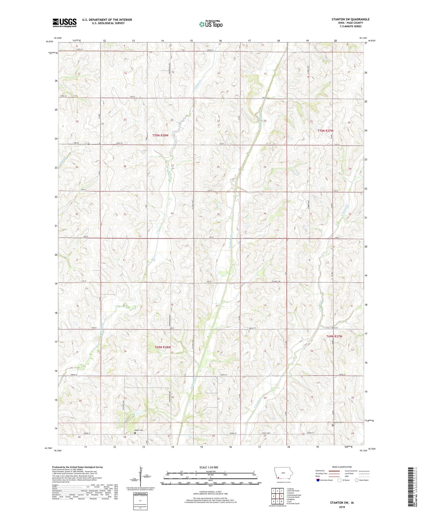
2022 topographic map quadrangle Stanton SW in the state of Iowa. Scale: 1:24000. Based on the newly updated USGS 7.5' US Topo map series, this map is in the following counties: Page. The map contains contour data, water features, and other items you are used to seeing on USGS maps, but also has updated roads and other features. This is the next generation of topographic maps. Printed on high-quality waterproof paper with UV fade-resistant inks.
Quads adjacent to this one:
West: Shenandoah East
Northwest: Coburg
North: Red Oak South
Northeast: Stanton
East: Clarinda North
Southeast: Clarinda South
South: Coin
Southwest: Bingham
This map covers the same area as the classic USGS quad with code o40095g2.
Contains the following named places: Baker Cemetery, Darwin, Darwin Post Office, Dasie Post Office, Fremont Church, North Grove, North Grove Post Office, Summit Cemetery, Township of Fremont, Township of Tarkio