MyTopo
Unique Iowa US Topo Map
Couldn't load pickup availability
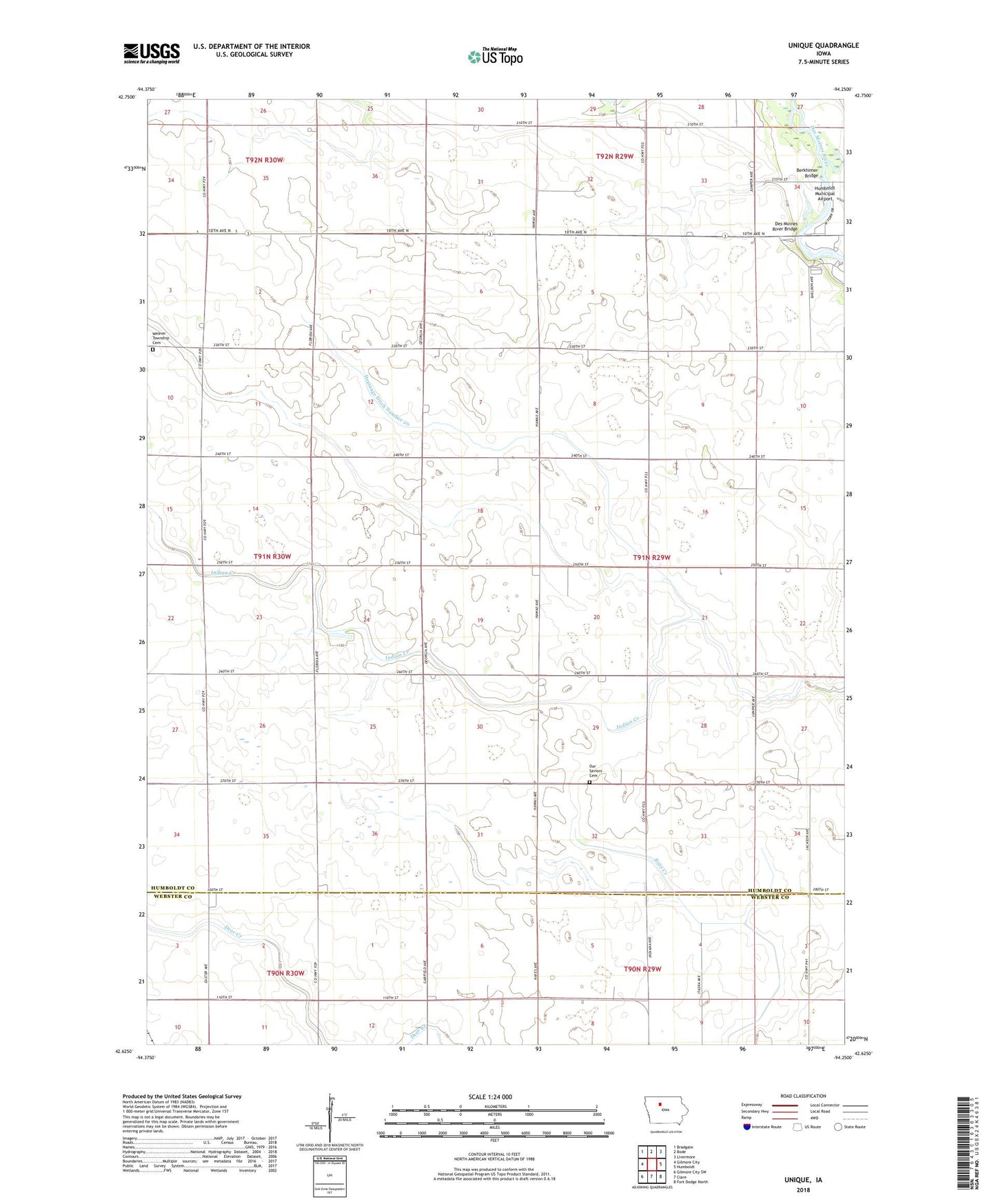
2022 topographic map quadrangle Unique in the state of Iowa. Scale: 1:24000. Based on the newly updated USGS 7.5' US Topo map series, this map is in the following counties: Humboldt, Webster. The map contains contour data, water features, and other items you are used to seeing on USGS maps, but also has updated roads and other features. This is the next generation of topographic maps. Printed on high-quality waterproof paper with UV fade-resistant inks.
Quads adjacent to this one:
West: Gilmore City
Northwest: Bradgate
North: Bode
Northeast: Livermore
East: Humboldt
Southeast: Fort Dodge North
South: Clare
Southwest: Gilmore City SW
This map covers the same area as the classic USGS quad with code o42094f3.
Contains the following named places: Bass Lake, Berkhimer Bridge, Des Moines River Bridge, Drainage Ditch Number 20, Humboldt Country Club, Humboldt Municipal Airport, Indian Spring, Joe Sheldon County Park, Mount Hope Cemetery, Our Saviors Cemetery, Oxbow Park, Pioneer Prairie Pothole Wildlife Area, Township of Corinth, Unique, Unique Post Office