MyTopo
Gunder Iowa US Topo Map
Couldn't load pickup availability
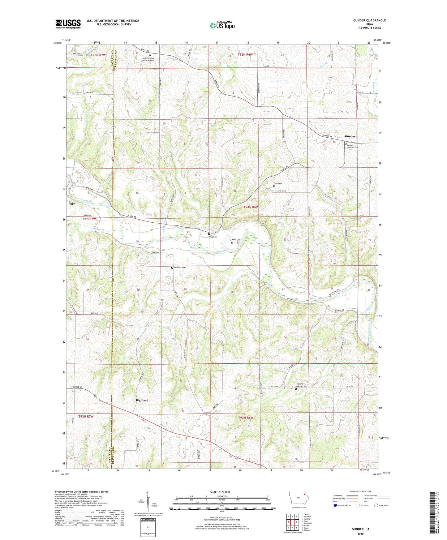
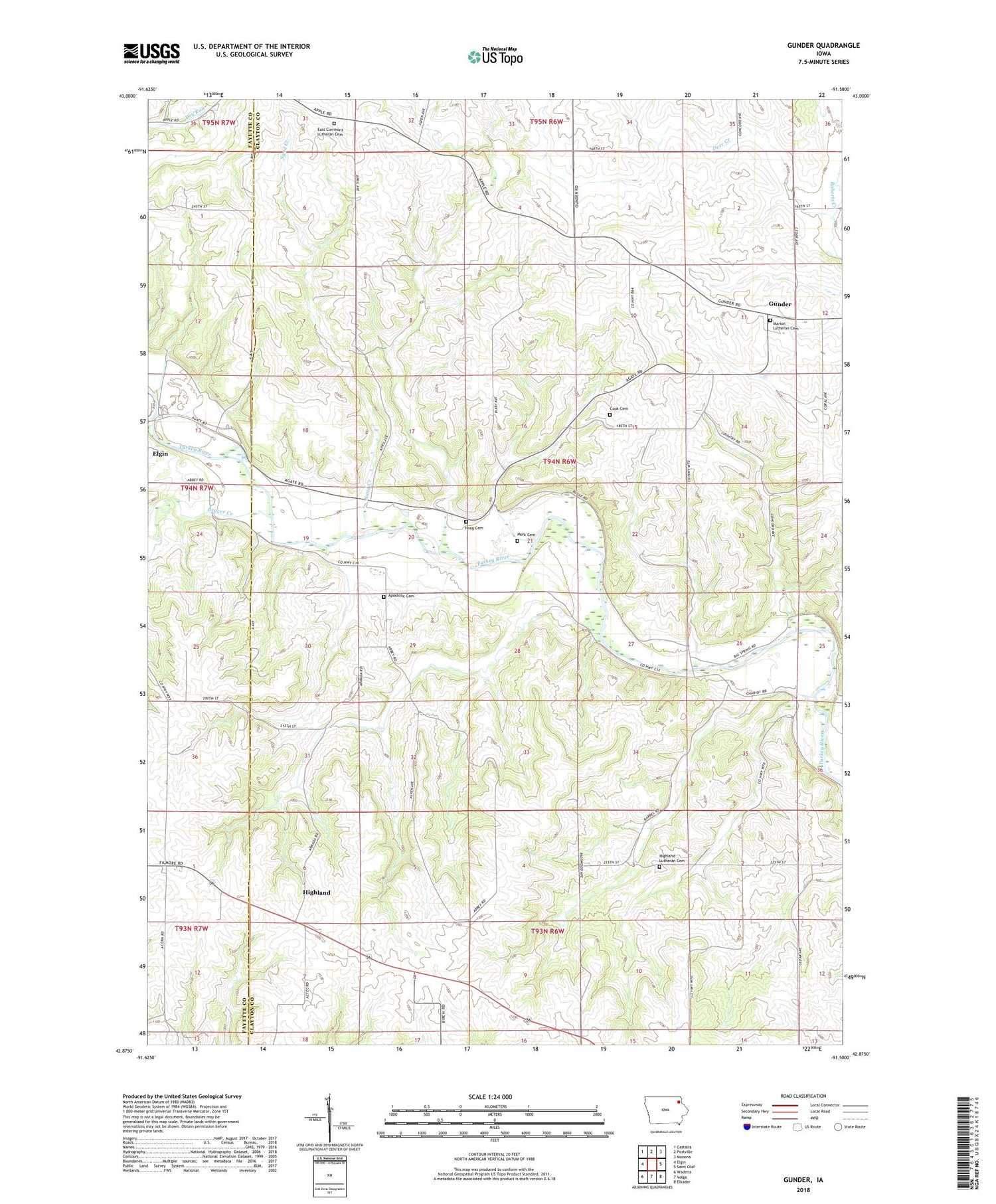
2022 topographic map quadrangle Gunder in the state of Iowa. Scale: 1:24000. Based on the newly updated USGS 7.5' US Topo map series, this map is in the following counties: Clayton, Fayette. The map contains contour data, water features, and other items you are used to seeing on USGS maps, but also has updated roads and other features. This is the next generation of topographic maps. Printed on high-quality waterproof paper with UV fade-resistant inks.
Quads adjacent to this one:
West: Elgin
Northwest: Castalia
North: Postville
Northeast: Monona
East: Saint Olaf
Southeast: Elkader
South: Volga
Southwest: Wadena
This map covers the same area as the classic USGS quad with code o42091h5.
Contains the following named places: Apostolic Cemetery, Beaver Creek, Cook Cemetery, Deer Creek, East Clermont Church, East Clermont Lutheran Cemetery, Gem Post Office, Gilbertson Conservation Education Area, Gunder, Gunder Post Office, Highland, Highland Church, Highland Lutheran Cemetery, Highland Post Office, Highland Townhall, Houg Cemetery, Marion Lutheran Cemetery, Marion Townhall, Mork Cemetery, Otter Creek, Sand Creek, Township of Marion