MyTopo
Augusta SE Kansas US Topo Map
Couldn't load pickup availability
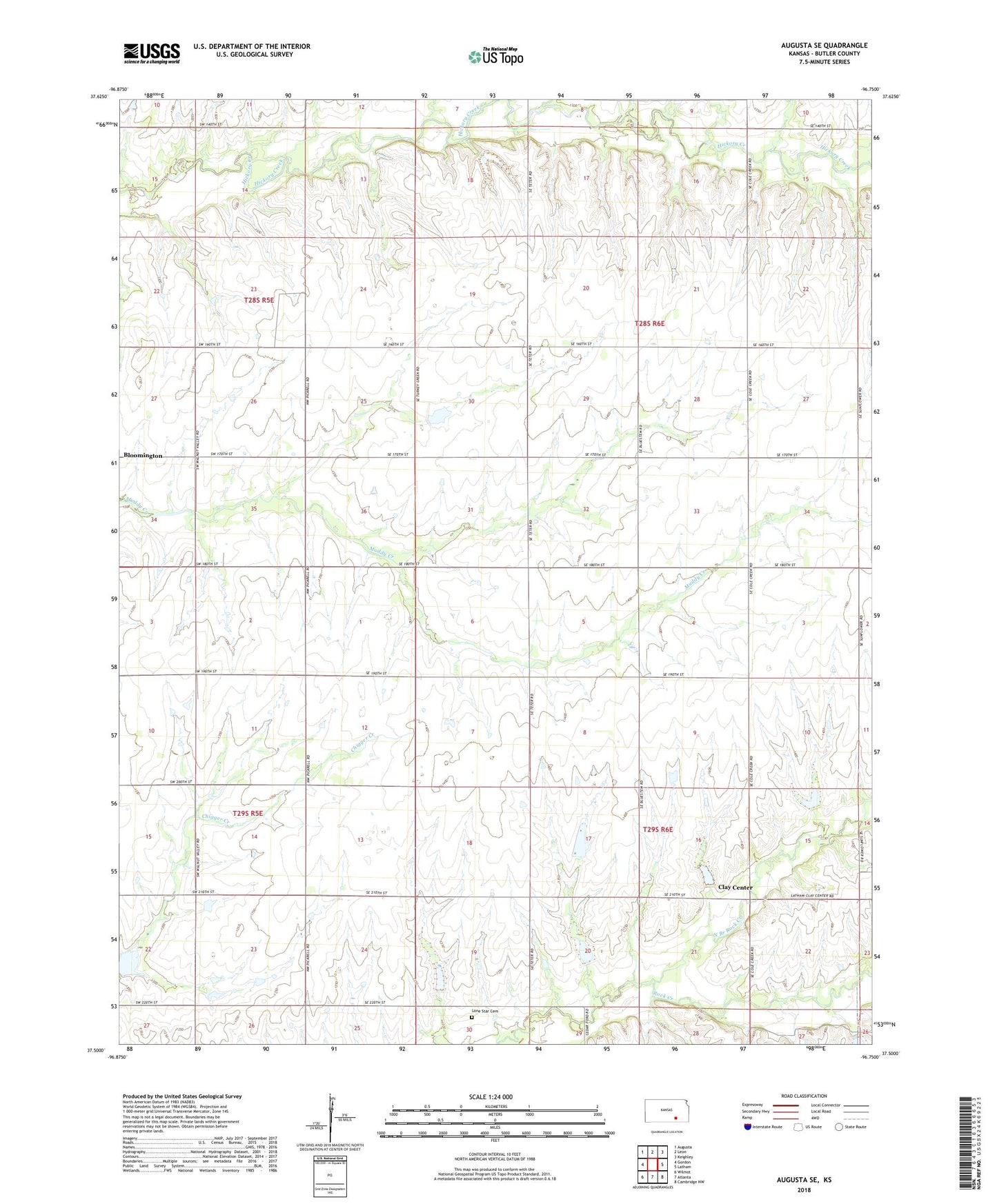
2022 topographic map quadrangle Augusta SE in the state of Kansas. Scale: 1:24000. Based on the newly updated USGS 7.5' US Topo map series, this map is in the following counties: Butler. The map contains contour data, water features, and other items you are used to seeing on USGS maps, but also has updated roads and other features. This is the next generation of topographic maps. Printed on high-quality waterproof paper with UV fade-resistant inks.
Quads adjacent to this one:
West: Gordon
Northwest: Augusta
North: Leon
Northeast: Keighley
East: Latham
Southeast: Cambridge NW
South: Atlanta
Southwest: Wilmot
This map covers the same area as the classic USGS quad with code o37096e7.
Contains the following named places: Bloomington, Bloomington Church, Clay Center, Fox-Bush Oil Field, Lone Star Cemetery, North Branch Rock Creek, Pine Grove, Snowden-Mc Sweeney Oil Field, Steinhoff Oil Field, Township of Clay, Township of Logan