MyTopo
Greenleaf SE Kansas US Topo Map
Couldn't load pickup availability
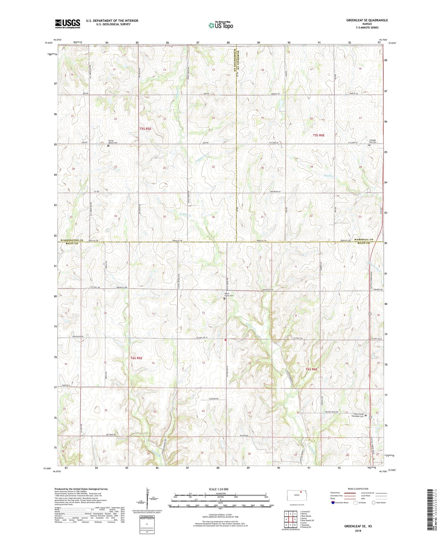
2022 topographic map quadrangle Greenleaf SE in the state of Kansas. Scale: 1:24000. Based on the newly updated USGS 7.5' US Topo map series, this map is in the following counties: Riley, Washington, Marshall. The map contains contour data, water features, and other items you are used to seeing on USGS maps, but also has updated roads and other features. This is the next generation of topographic maps. Printed on high-quality waterproof paper with UV fade-resistant inks.
Quads adjacent to this one:
West: Kimeo
Northwest: Greenleaf
North: Barnes
Northeast: Blue Rapids
East: Blue Rapids SW
Southeast: Olsburg NW
South: Randolph
Southwest: Lasita
This map covers the same area as the classic USGS quad with code o39096e7.
Contains the following named places: Cottage Hill Cemetery, Fancy Creek Randolph Cemetery, Parallel, Peach Grove Cemetery, Peach Grove Church, Potts Landing Strip, Riley County Fire District 1 Station 14, Spring Valley Cemetery, Township of Cottage Hill, Township of Lincoln