MyTopo
Iola SE Kansas US Topo Map
Couldn't load pickup availability
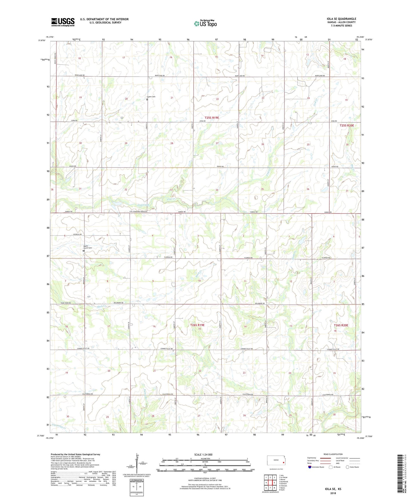
2022 topographic map quadrangle Iola SE in the state of Kansas. Scale: 1:24000. Based on the newly updated USGS 7.5' US Topo map series, this map is in the following counties: Allen. The map contains contour data, water features, and other items you are used to seeing on USGS maps, but also has updated roads and other features. This is the next generation of topographic maps. Printed on high-quality waterproof paper with UV fade-resistant inks.
Quads adjacent to this one:
West: Humboldt
Northwest: Iola
North: La Harpe
Northeast: Moran
East: Elsmore
Southeast: Stark
South: Rollin
Southwest: Chanute
This map covers the same area as the classic USGS quad with code o37095g3.
Contains the following named places: Bethel School, Croisant Airport, Fair View School, Jeddo Church, Jeddo School, Maple Grove Cemetery, Prairie View School, Salem Cemetery, Salem School, Scotland School, Township of Cottage Grove, Township of Salem, Zillah Middle School