MyTopo
Volland Kansas US Topo Map
Couldn't load pickup availability
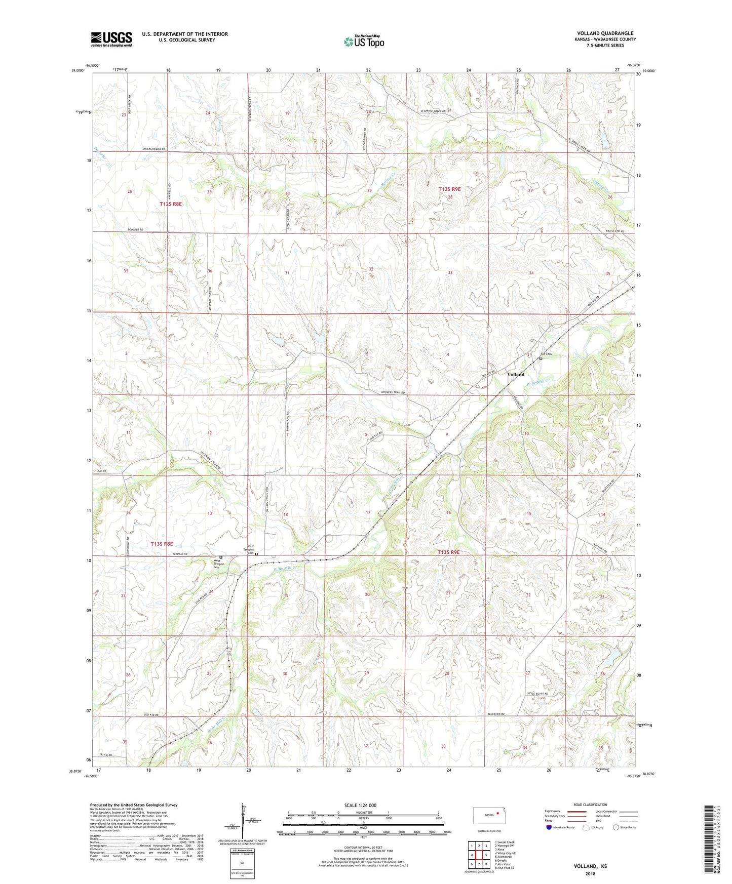
2022 topographic map quadrangle Volland in the state of Kansas. Scale: 1:24000. Based on the newly updated USGS 7.5' US Topo map series, this map is in the following counties: Wabaunsee. The map contains contour data, water features, and other items you are used to seeing on USGS maps, but also has updated roads and other features. This is the next generation of topographic maps. Printed on high-quality waterproof paper with UV fade-resistant inks.
Quads adjacent to this one:
West: White City NE
Northwest: Swede Creek
North: Wamego SW
Northeast: Alma
East: Allendorph
Southeast: Alta Vista SE
South: Alta Vista
Southwest: Dwight
This map covers the same area as the classic USGS quad with code o38096h4.
Contains the following named places: East Templin Cemetery, Fix Cemetery, Templin, Township of Washington, Volland, West Templin Cemetery