MyTopo
Albany Kentucky US Topo Map
Couldn't load pickup availability
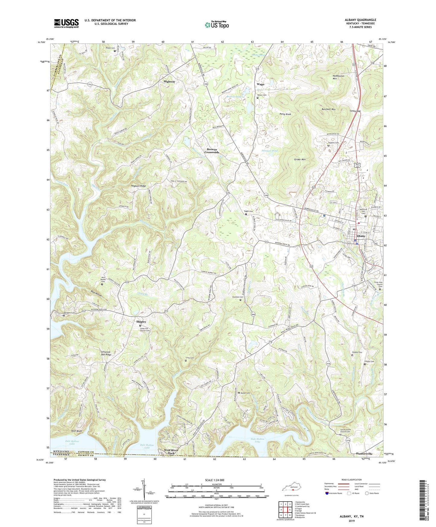
2022 topographic map quadrangle Albany in the state of Kentucky. Scale: 1:24000. Based on the newly updated USGS 7.5' US Topo map series, this map is in the following counties: Clinton, Pickett, Cumberland. The map contains contour data, water features, and other items you are used to seeing on USGS maps, but also has updated roads and other features. This is the next generation of topographic maps. Printed on high-quality waterproof paper with UV fade-resistant inks.
Quads adjacent to this one:
West: Frogue
Northwest: Burkesville
North: Wolf Creek Dam
Northeast: Cumberland City
East: Savage
Southeast: Moodyville
South: Byrdstown
Southwest: Dale Hollow Reservoir SE
Contains the following named places: Abstons Corner, Albany, Albany Airport, Albany Division, Albany Fire Department, Albany Police Department, Albany Post Office, Bible Mission School, Boohers Mill, Boyles Cemetery, Brown Cemetery, Brown Crossroads Post Office, Browns Crossroads, Browns Pond, Burchett Mountain, Butler Cemetery, Caney Branch, Caney Branch Church, Caney Gap, Cedar Hill Church Cemetery, Churntop, Churntop Branch, Churntop School, City of Albany, Clear Fork Branch, Clear Fork Church, Clear Fork Church Cemetery, Clinton County, Clinton County Emergency Medical Services, Clinton County Fairgrounds, Clinton County Hospital Heliport, Clinton County Sheriff's Office, Cole School, Cross Cemetery, Dale Hollow Regional Airport (Petroleum Field), Davidson Cemetery, Dicken, Dicken Chapel, Drop Post Office, Duvall Pond, Evans School, Ewing, Ewing Branch, Ewing School, Five Springs, Five Springs Church, Fox Branch, Gibson Cemetery, Green Grove Church, Grider Mountain, Groce Spring Branch, Highway, Highway Post Office, Highway School, Hogback Creek, Hogback Ridge, Hopkins, Hopkins Cemetery, Howards Creek, Huddleston Mountain, Huntersville Post Office, Jenks Branch, Lee Chapel, Lettered Oak, Lettered Oak Ridge, Lettered Oak School, Locust Grove Cemetery, Locust Grove Church, Locust Grove School, Med Hollow, Memorial Hill Cemetery, Mount Vernon Church, New Bethel Cemetery, New Bethel Church, New Hope Church, New Hope School, Oaks Post Office, Ootens Store, Palestine Church, Paoli, Paoli Post Office, Peolia Church, Petty Knob, Pickens Branch, Sawyers Pond, Sexton Fork, Shipley, Shipley Cemetery, Shipley Post Office, Skull Bluff, Snow Post Office, Snow School, Specks School, Spring Creek, Spring Creek Roller Mill, Sterretts Mill, Stockton Cemetery, Sulphur Creek, The Big Marsh, The Medical Center At Albany, Tuggle Cemetery, Tuggle Creek, Upchurch Branch, Wago, Wago Post Office, WAMY Radio Tower, WANY-AM (Albany), WANY-FM (Albany), Willen, Wisdom Dock, Wolf River Dock


