MyTopo
Blacks Ferry Kentucky US Topo Map
Couldn't load pickup availability
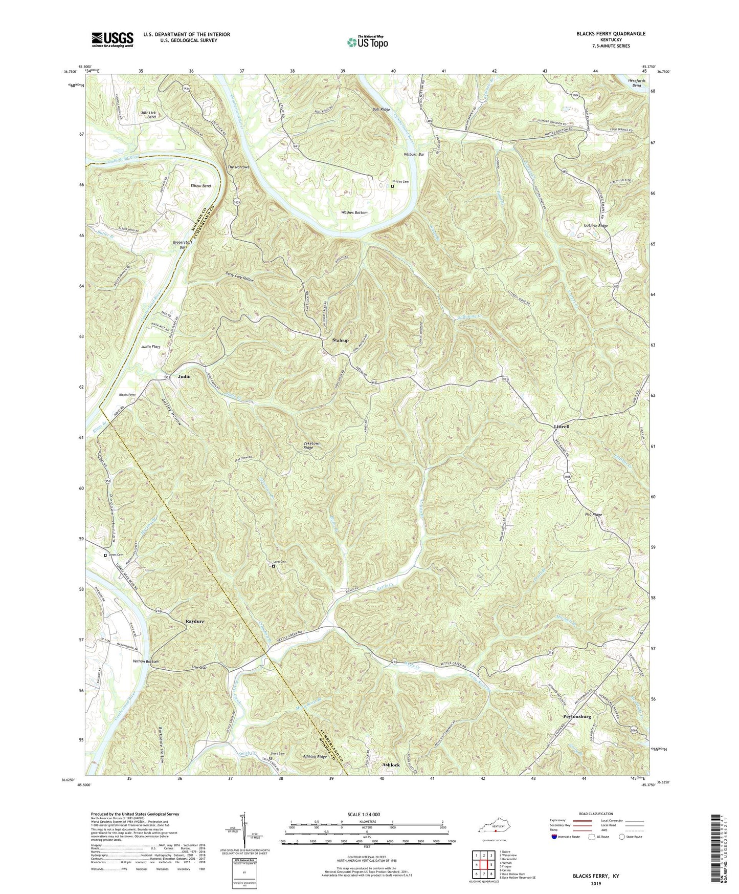
2022 topographic map quadrangle Blacks Ferry in the state of Kentucky. Scale: 1:24000. Based on the newly updated USGS 7.5' US Topo map series, this map is in the following counties: Cumberland, Monroe. The map contains contour data, water features, and other items you are used to seeing on USGS maps, but also has updated roads and other features. This is the next generation of topographic maps. Printed on high-quality waterproof paper with UV fade-resistant inks.
Quads adjacent to this one:
West: Vernon
Northwest: Dubre
North: Waterview
Northeast: Burkesville
East: Frogue
Southeast: Dale Hollow Reservoir SE
South: Dale Hollow Dam
Southwest: Celina
This map covers the same area as the classic USGS quad with code o36085f4.
Contains the following named places: Ashlock Ridge, Bear Wallow Ridge, Bearwallow School, Biggerstaff Bar, Blacks Ferry, Blythe Branch, Broad Branch, Butler Branch, Coe School, Crawford Branch, Dodson Hollow, Elbow Bend, Elbow School, Gaines Hill School, Galloway Creek, Glassock Branch, Guffey Hollow, Guthrie Ridge, Guthries School, Hendricks Creek Dock, Hickory Grove Church, Hood Branch, Johnstonville, Jones Cemetery, Judio, Judio Creek, Judio Flats, Kelly Scott Branch, Kettle Creek School, Littrell, Logan Branch, Long Cemetery, Low Gap, Martinsburg, Mary Scott Branch, McFarland Creek, Mitchell Branch, Murphy Branch, Pea Ridge, Perry Cary Hollow, Peytonsburg, Philpot Cemetery, Poplar Grove, Potters Creek, Pruitt Branch, Raydure, Shorts Chapel Cemetery, Smith Creek, Spears School, Stalcup, Tanbark, The Narrows, Vernon Bottom, Warsaw Branch, Washes Bottom, Wells Creek, Wilburn Bar, Xerxes School, Zeketown Branch, Zeketown Ridge


