MyTopo
Breckinridge Kentucky US Topo Map
Couldn't load pickup availability
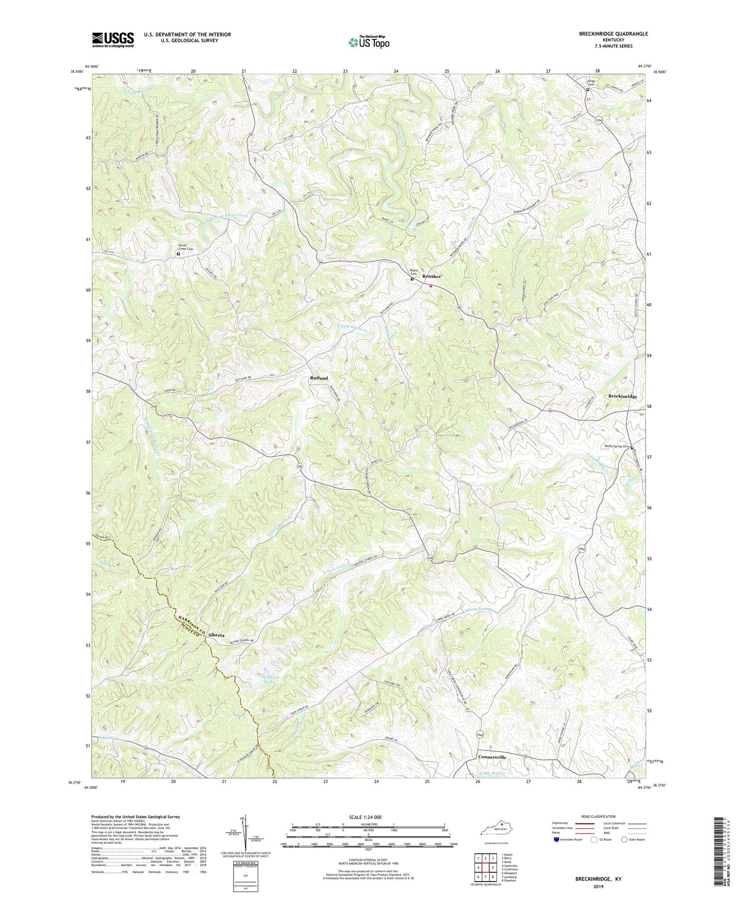
2022 topographic map quadrangle Breckinridge in the state of Kentucky. Scale: 1:24000. Based on the newly updated USGS 7.5' US Topo map series, this map is in the following counties: Harrison, Scott. The map contains contour data, water features, and other items you are used to seeing on USGS maps, but also has updated roads and other features. This is the next generation of topographic maps. Printed on high-quality waterproof paper with UV fade-resistant inks.
Quads adjacent to this one:
West: Sadieville
Northwest: Mason
North: Berry
Northeast: Kelat
East: Cynthiana
Southeast: Shawhan
South: Leesburg
Southwest: Delaplain
This map covers the same area as the classic USGS quad with code o38084d4.
Contains the following named places: Alberta, Alberta Post Office, Beard Cemetery, Berry West Division, Breckenridge Post Office, Breckinridge, Connersville, Connersville Post Office, Connersville School, Dutch Chapel, Dutch Church, Harrison County Volunteer Fire Department Station 5, Hells Halfacre, Hoggard Lake, Kales Branch, Kings Cemetery, Middle Fork, Middle Fork Raven Creek, Mount Hope Church, North Fork Twin Creek, Pigeon Branch, Pleasant Green Church, Pleasant Green School, Raven Creek Cemetery, Renaker, Renaker Post Office, Renaker School, Rocky Spring Cemetery, Rutland, Rutland Post Office, Selma Post Office, South Fork Raven Creek, South Fork Twin Creek, Tricum School, White Oak, White Oak Church, White Oak School