MyTopo
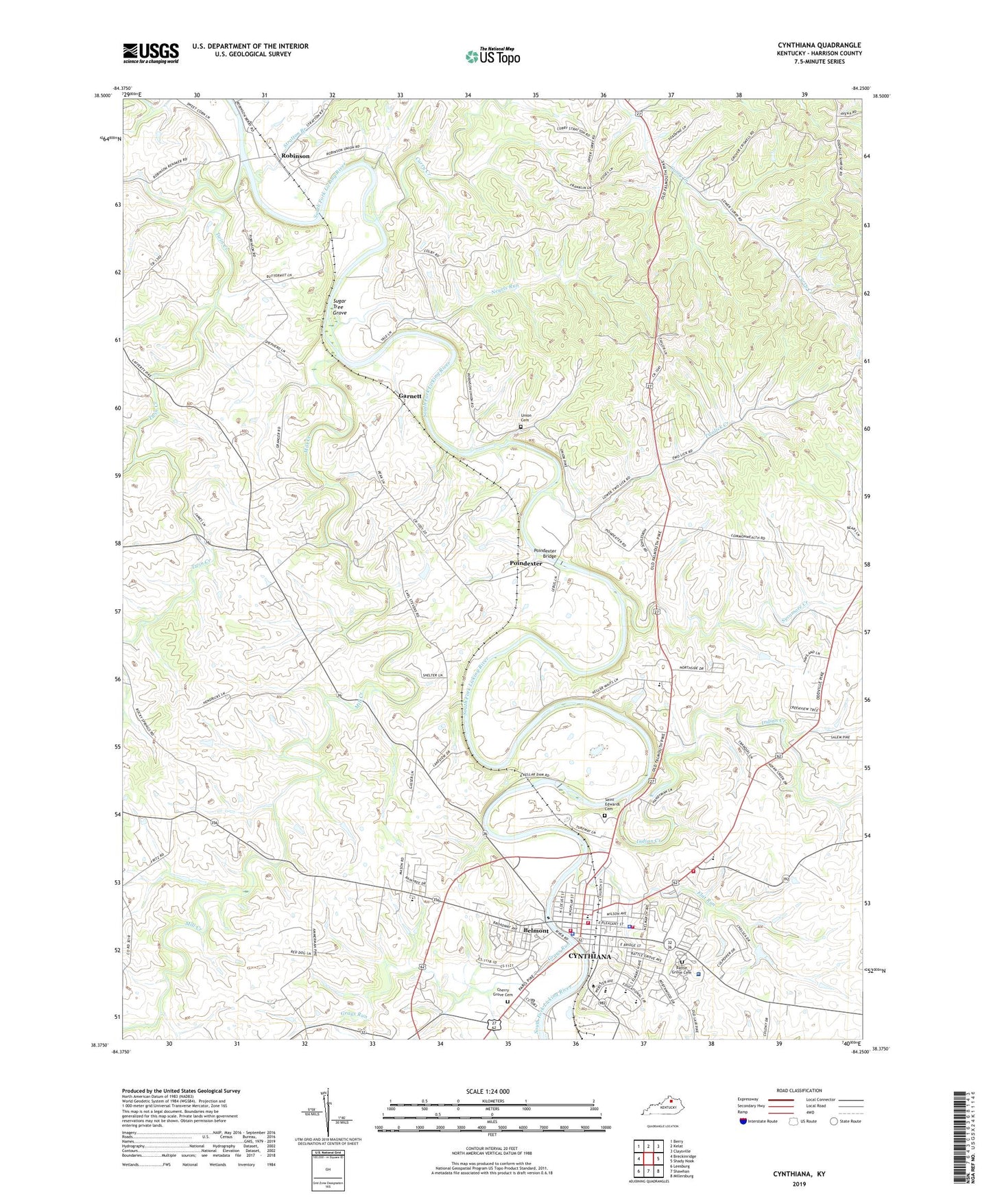
Cynthiana Kentucky US Topo Map
Couldn't load pickup availability
2022 topographic map quadrangle Cynthiana in the state of Kentucky. Scale: 1:24000. Based on the newly updated USGS 7.5' US Topo map series, this map is in the following counties: Harrison. The map contains contour data, water features, and other items you are used to seeing on USGS maps, but also has updated roads and other features. This is the next generation of topographic maps. Printed on high-quality waterproof paper with UV fade-resistant inks.
Quads adjacent to this one:
West: Breckinridge
Northwest: Berry
North: Kelat
Northeast: Claysville
East: Shady Nook
Southeast: Millersburg
South: Shawhan
Southwest: Leesburg
This map covers the same area as the classic USGS quad with code o38084d3.
Contains the following named places: Ashbrook Distillery Railroad Station, Avena, Avena Post Office, Banneker School, Battle Grove Cemetery, Belmont, Burns School, Cedar Grove Farm, Cherry Grove Cemetery, City of Cynthiana, Colbys Store, Curry, Curry Creek, Currys Run Post Office, Cynthiana, Cynthiana Division, Cynthiana Fire Department, Cynthiana Fire Department Station 2, Cynthiana Police Department, Cynthiana Post Office, Flat Run, Garnett, Garnett Railroad Station, Garnett Station Post Office, Grays Run, Harrison County, Harrison County Fire District Station 1, Harrison County High School, Harrison County Sheriff's Office, Harrison County Volunteer Fire Department Station 7, Harrison Memorial Hospital, Indian Creek, Kellers Railroad Station, Keyho School, King and Garnett Cemetery, Lower Curry Church, Marshall School, Mill Creek, Mount Pleasant Church, Neurls Run, Pleasant View Farm, Poindexter, Poindexter Bridge, Poindexter Post Office, Poindexter Railroad Station, Ridgeway Farm, Robinson, Robinson Post Office, Robinson Railroad Station, Saint Edwards Cemetery, Stratton Branch, Sugar Tree Grove, Sunny Side Farm, Sycamore Creek, The Oaks Farm, The Old Bridge, Twin Creek, Two Lick School, Twolick Creek, Union Cemetery, Union Church, Upper Curry Church, Walnut School, WCYN-AM (Cynthiana), WCYN-FM (Cynthiana), ZIP Code: 41031


