MyTopo
Leesburg Kentucky US Topo Map
Couldn't load pickup availability
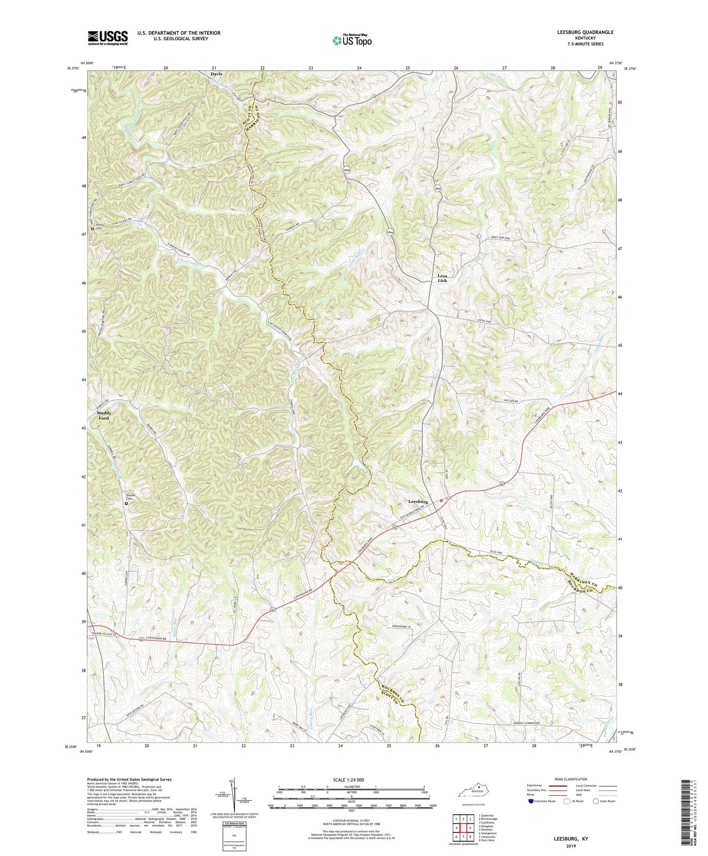
2022 topographic map quadrangle Leesburg in the state of Kentucky. Scale: 1:24000. Based on the newly updated USGS 7.5' US Topo map series, this map is in the following counties: Harrison, Scott, Bourbon. The map contains contour data, water features, and other items you are used to seeing on USGS maps, but also has updated roads and other features. This is the next generation of topographic maps. Printed on high-quality waterproof paper with UV fade-resistant inks.
Quads adjacent to this one:
West: Delaplain
Northwest: Sadieville
North: Breckinridge
Northeast: Cynthiana
East: Shawhan
Southeast: Paris West
South: Centerville
Southwest: Georgetown
This map covers the same area as the classic USGS quad with code o38084c4.
Contains the following named places: Beards Church, Davis, Gilead Church, Harrison County Volunteer Fire Department Station 3, Hinton Cemetery, Lees Lick, Leesburg, Leesburg Post Office, Leeslick Post Office, Little Mill Creek, Republican Church, Sharon Cemetery