MyTopo
Coiltown Kentucky US Topo Map
Couldn't load pickup availability
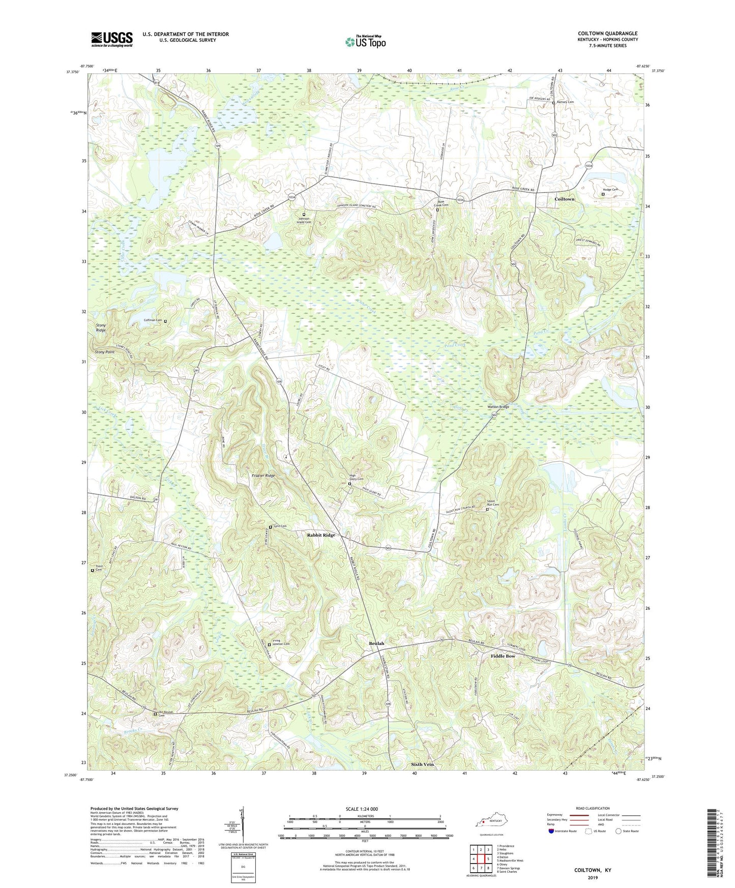
2022 topographic map quadrangle Coiltown in the state of Kentucky. Scale: 1:24000. Based on the newly updated USGS 7.5' US Topo map series, this map is in the following counties: Hopkins. The map contains contour data, water features, and other items you are used to seeing on USGS maps, but also has updated roads and other features. This is the next generation of topographic maps. Printed on high-quality waterproof paper with UV fade-resistant inks.
Quads adjacent to this one:
West: Dalton
Northwest: Providence
North: Nebo
Northeast: Slaughters
East: Madisonville West
Southeast: Saint Charles
South: Dawson Springs
Southwest: Olney
This map covers the same area as the classic USGS quad with code o37087c6.
Contains the following named places: Beulah, Coffman Cemetery, Coiltown, Coiltown Mine, Coiltown Station, Colitown Junction, Colonial Mine, Fiddle Bow, Frazier Ridge, High Glory Cemetery, Hodge Cemetery, Irving Howton Cemetery, Johnson Island, Johnson Island Cemetery, Johnson Island Church, Kirkwood Springs Gas Field, Lambs Creek, Lynn Cemetery, Old Beulah Cemetery, Pond Creek, Rabbit Ridge, Ramsey Cemetery, Rose Creek Cemetery, Rose Creek Church, Silent Run Cemetery, Silent Run Church, Sixth Vein, Stoney Point Mine, Stony Point, Stony Ridge, Trace Branch, Trent Cemetery, Watson Bridge, Watson Bridge Mine, Weirs Creek, Yarbrough Mine, ZIP Code: 42441


