MyTopo
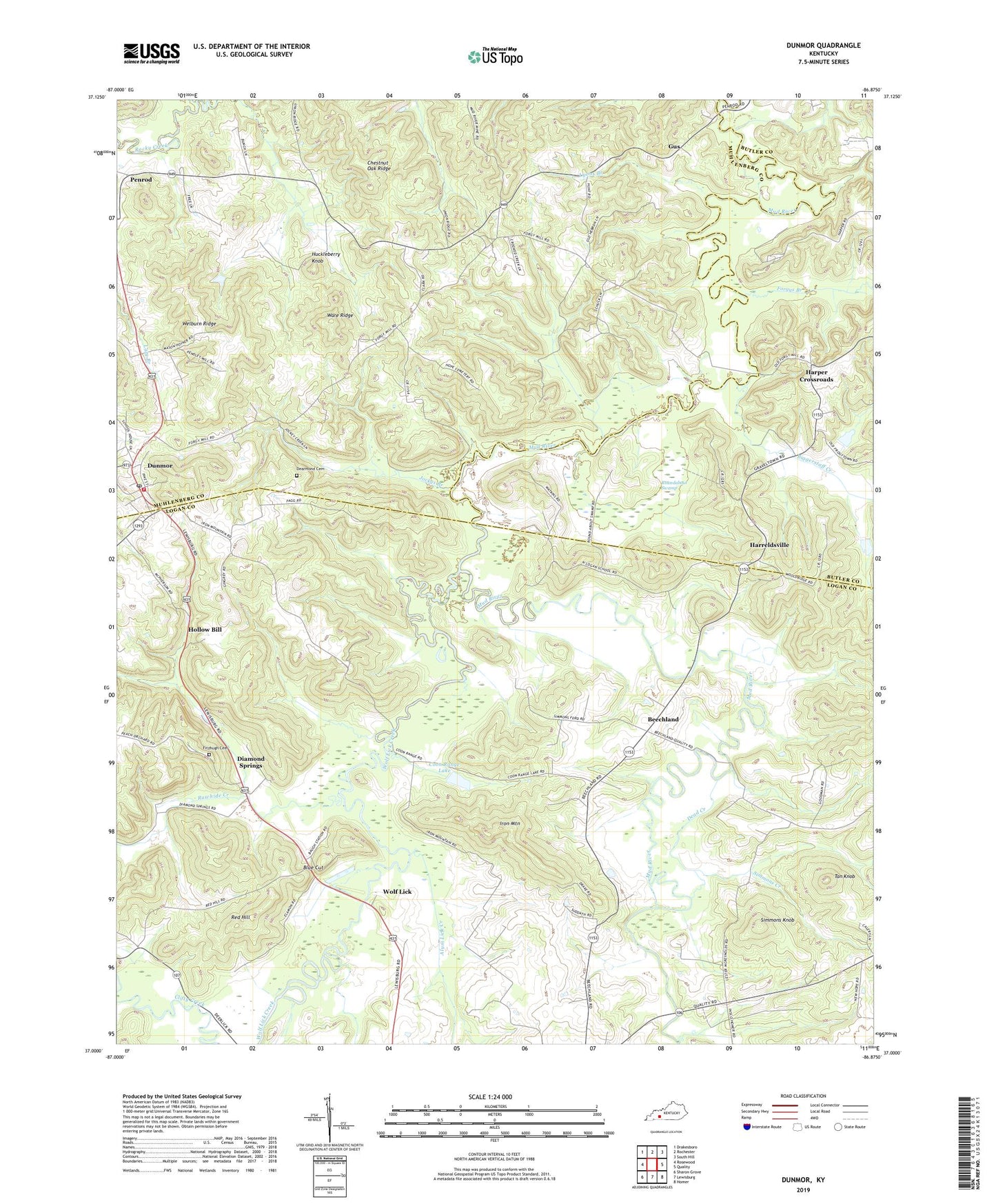
Dunmor Kentucky US Topo Map
Couldn't load pickup availability
2022 topographic map quadrangle Dunmor in the state of Kentucky. Scale: 1:24000. Based on the newly updated USGS 7.5' US Topo map series, this map is in the following counties: Logan, Muhlenberg, Butler. The map contains contour data, water features, and other items you are used to seeing on USGS maps, but also has updated roads and other features. This is the next generation of topographic maps. Printed on high-quality waterproof paper with UV fade-resistant inks.
Quads adjacent to this one:
West: Rosewood
Northwest: Drakesboro
North: Rochester
Northeast: South Hill
East: Quality
Southeast: Homer
South: Lewisburg
Southwest: Sharon Grove
This map covers the same area as the classic USGS quad with code o37086a8.
Contains the following named places: Alum Lick Creek, Beechland, Biggerstaff Creek, Blue Cut, Chestnut Oak Ridge, Coon Range Lake, De Armond Cemetery, Dead Creek, Diamond Springs, Dunmor, Dunmor Census Designated Place, Dunmor Post Office, Dunmor Volunteer Fire Department, Fitzhugh Cemetery, Forgys Branch, Forgys Mill, Forgytown, Gus, Harper Crossroads, Harreldsville, Hollow Bill, Huckleberry Knob, Iron Mountain, Jockys Branch, Lewisburg Division, Lyons Branch, Mount Moriah Church, New Hebron Church, North Logan School, Old Hebron Church, Penrod, Pogue, Pogue School, Rawhide Creek, Red Hill, Rock Springs, Rock Springs School, Roundabout Swamp, Sand Spring, Simmons Creek, Simmons Knob, Tan Knob, Ware Ridge, Welburn Ridge, Wolf Lick, Wolf Lick Creek, ZIP Codes: 42256, 42339


