MyTopo
Liberty Kentucky US Topo Map
Couldn't load pickup availability
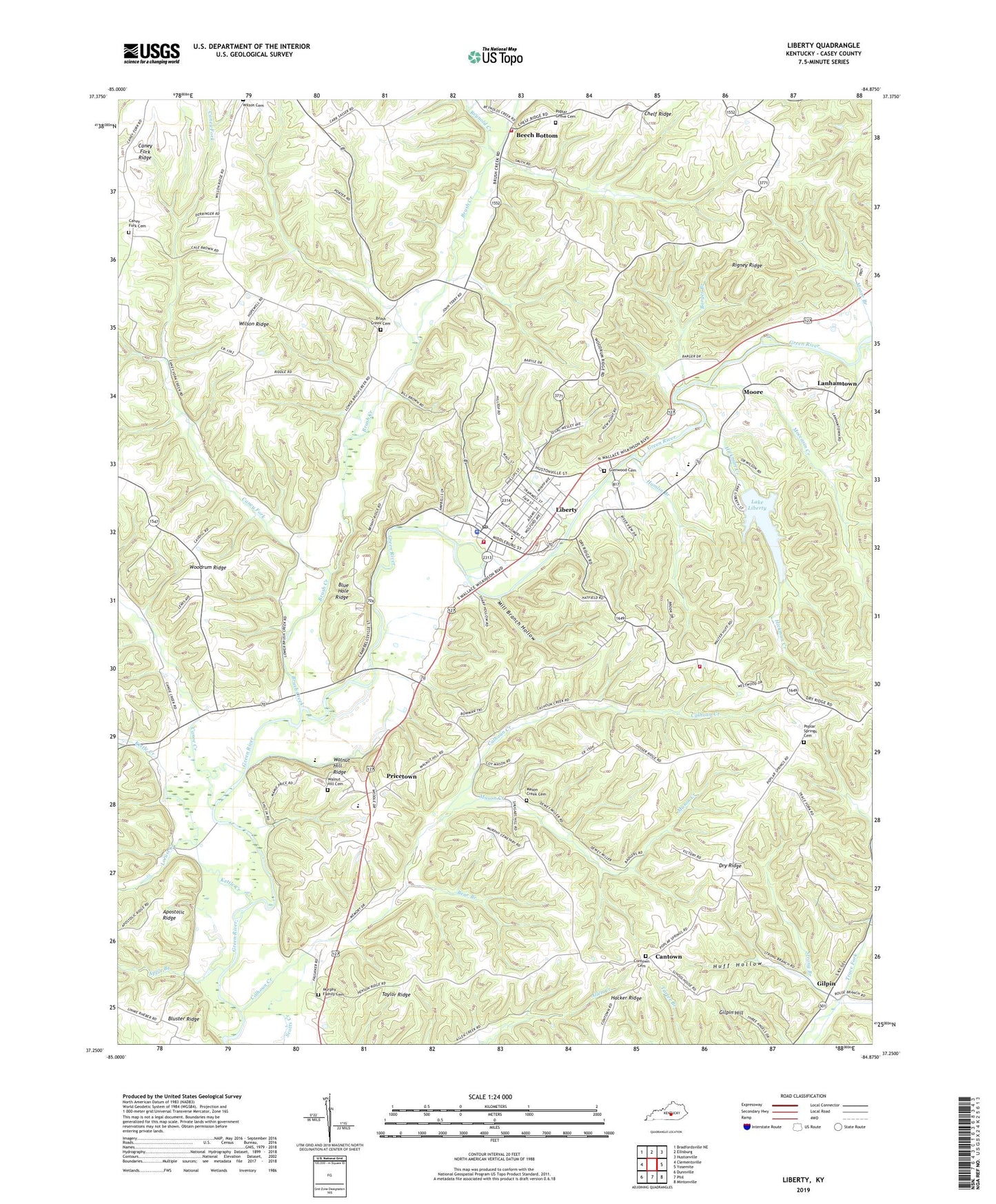
2022 topographic map quadrangle Liberty in the state of Kentucky. Scale: 1:24000. Based on the newly updated USGS 7.5' US Topo map series, this map is in the following counties: Casey. The map contains contour data, water features, and other items you are used to seeing on USGS maps, but also has updated roads and other features. This is the next generation of topographic maps. Printed on high-quality waterproof paper with UV fade-resistant inks.
Quads adjacent to this one:
West: Clementsville
Northwest: Bradfordsville NE
North: Ellisburg
Northeast: Hustonville
East: Yosemite
Southeast: Mintonville
South: Phil
Southwest: Dunnville
This map covers the same area as the classic USGS quad with code o37084c8.
Contains the following named places: Apple Branch, Barger Branch, Bear Branch, Beech Bottom, Blue Hole Ridge, Bluster Post Office, Bluster Ridge, Boyle, Boyle Post Office, Boyles School, Brush Creek, Brush Creek Cemetery, Brush Creek Church, Brush Creek School, Brush Creek Volunteer Fire Department, Calhoun Creek, Calhoun Creek School, Caney Fork, Caney Fork Cemetery, Caney Fork Church, Caney Fork Ridge, Caney Fork School, Canoe Creek, Canoe Creek School, Cantown, Casey County, Casey County EMS, Casey County Sheriff's Office, Celeste Post Office, City of Liberty, Clearview Church, Contown Cemetery, Contown School, Doe Creek, Dove Post Office, Dry Ridge, Dry Ridge Church, Gilpin, Gilpin Hill, Gilpin Post Office, Gilpin School, Glenwood Cemetery, Good Hope School, Hamlin Branch, Hickman Creek, Hickory Grove School, Hilltop Church, Hopewell School, Huff Hollow, Kettle Creek, Lake Liberty, Lanhamtown, Lanhamtown School, Liberty, Liberty Division, Liberty Fire Department, Liberty Post Office, Linnie Post Office, Locust Creek, Mason Creek, Mason Creek Cemetery, Mill Branch Hollow, Moccasin Creek, Moore, Murphy Family Cemetery, Murphy School, Neal Post Office, Oak Grove Church of Christ, Poplar Grove Baptist Church, Poplar Grove Cemetery, Poplar Springs, Poplar Springs Baptist Church Cemetery, Poplar Springs Church, Poplar Springs School, Poplar Springs Vol Fire Department, Pricetown, Pricetown Post Office, Reynold Creek, Rigney Ridge, Rowe Branch, Strong Branch, Taylor Ridge, Walnut Hill Cemetery, Walnut Hill Elementary School, Walnut Hill Ridge, Walnut Hill Separate Baptist Church, Whitehead School, Wilson Ridge, WKDO-AM (Liberty), WKDO-FM (Liberty), Woodrum Ridge, ZIP Code: 42539


