MyTopo
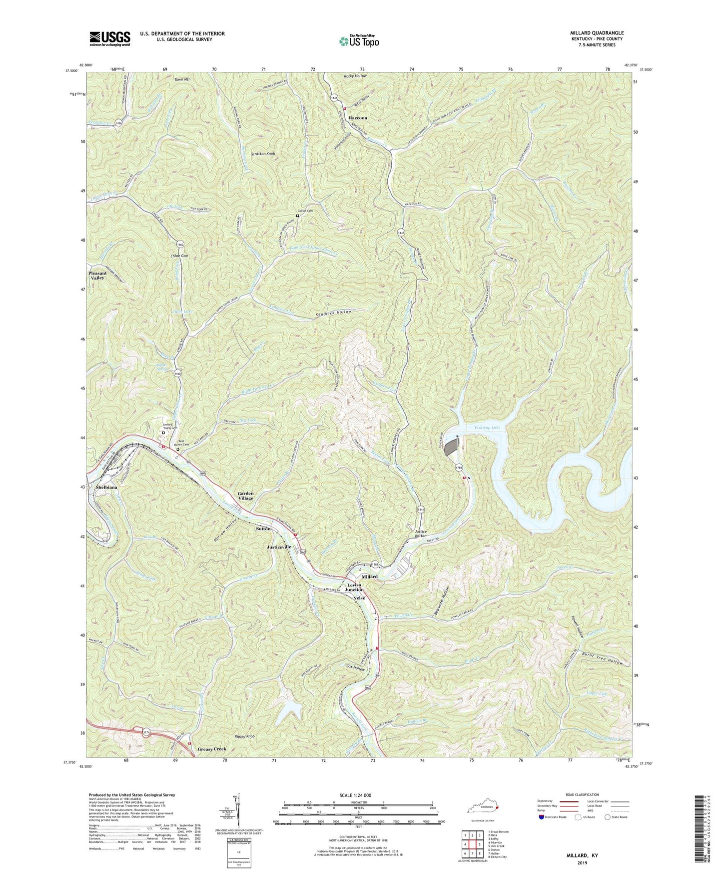
Millard Kentucky US Topo Map
Couldn't load pickup availability
2022 topographic map quadrangle Millard in the state of Kentucky. Scale: 1:24000. Based on the newly updated USGS 7.5' US Topo map series, this map is in the following counties: Pike. The map contains contour data, water features, and other items you are used to seeing on USGS maps, but also has updated roads and other features. This is the next generation of topographic maps. Printed on high-quality waterproof paper with UV fade-resistant inks.
Quads adjacent to this one:
West: Pikeville
Northwest: Broad Bottom
North: Meta
Northeast: Belfry
East: Lick Creek
Southeast: Elkhorn City
South: Hellier
Southwest: Dorton
This map covers the same area as the classic USGS quad with code o37082d4.
Contains the following named places: Alka Post Office, Annie E Young Cemetery, Axtell, Bass Post Office, Bearwater Hollow, Bevins Fork, Biggs Creek, Bishop Branch, Blackburn Cemetery, Branham Heights, Buck Branch, Burnt Tree Hollow, Camp Branch, Chloe Creek Church, Chloe Gap, Chloe Lake, Collins Cemetery, Cox Hollow, Crooked Creek, Damron Branch, Daniels Branch, Daniels Creek, Daniels Creek School, Dry Branch, Dry Creek, Dry Fork, East Shelbiana, Elkman Station, Enterprise Post Office, Fife Fork, Fiftyeight Branch, Fishtrap, Fishtrap Dam, Fishtrap Lake State Park, Fishtrap Post Office, Garden Village, Gardiner Fork, Gillespi Branch, Grace Baptist Church, Grapevine School, Greasy Creek, Greasy Creek Church, Greasy Creek School, Greasy Creek Volunteer Fire Department, Greasy Post Office, Hamitons Store Post Office, Hopkins Creek, Hopkins Creek School, Hurricane Branch, Hurricane Creek, Hurricane on Levisa School, Ivy Fork, James Fork, Jettie Post Office, John Coff School, Johns Creek Volunteer Fire Department Station 2, Johnson Hollow, Jonican Branch, Jonkan, Jonkan School, Justice Bottom, Justice Cemetery, Justiceville, Kendrick Fork, Kendrick Hollow, Lake Helen Residence, Left Fork Upper Chloe Creek, Levisa Junction, Levisa Railroad Junction, Liberty, Lick Branch, Little Dove Church, Little Flock Regular Baptist Church, Louisia A Church, Lower Chloe Creek School, Lower Greasy Creek, Lower Greasy Creek School, Lower Lick, Lower Pompey, Lower Pompey Branch, Lower Pompey Post Office, Lower Pompey School, McCoy Hollow, Millard, Millard - East Shelbiana Volunteer Fire and Rescue Station 1 Headquarters, Millard - East Shelbiana Volunteer Fire and Rescue Station 2, Millard - East Shelbiana Volunteer Fire and Rescue Station 4, Millard Area Vocational School, Millard Division, Millard High School, Millard Post Office, Millard Volunteer Fire Department, Morris Branch, Mouth of Peter Fork School, Narrow Hollow, Nelse, Opossum Branch, Peter Fork, Peyton Branch, Philadelphia Church, Pike County, Pike Golf Course, Powell Creek, Powell Creek Church, Powell Hollow, Powell's Mill Post Office, Primitive Church, Raccoon, Raccoon Post Office, Ramey Branch, Rans Polly Bend, Raystore Post Office, Rebecca Church, Red Creek, Red Creek School, Rest Haven Cemetery, Right Fork Harless Creek, Right Fork Red Creek, Right Fork Upper Chloe Creek, Ripley Knob, Road Fork, Rocky Hollow, Russell Fork, Shelbiana, Shelbiana Post Office, Shelbiana Railroad Station, Shelbiana School, Shelby Creek, Shelby Junction, Shelby Railroad Station, Shelby Yards, Slones Branch, Slones Branch Station, Stratton Knob, Stratton Knob Lookout Tower, Sulpher Spring, Sulton Post Office, Sutton, Sutton Mission, Sword Post Office, The Head of Coon School, Upper Chloe, Upper Chloe Creek, Upper Chloe Creek School, Upper Lick, Upper Pompey, Upper Pompey Branch, Upper Pompey School, Ward Siding, Wheatfield Hollow, Williams Branch, Winston Branch, Winwright Station, Wolfpen Fork, ZIP Codes: 41557, 41562


