MyTopo
Angola Louisiana US Topo Map
Couldn't load pickup availability
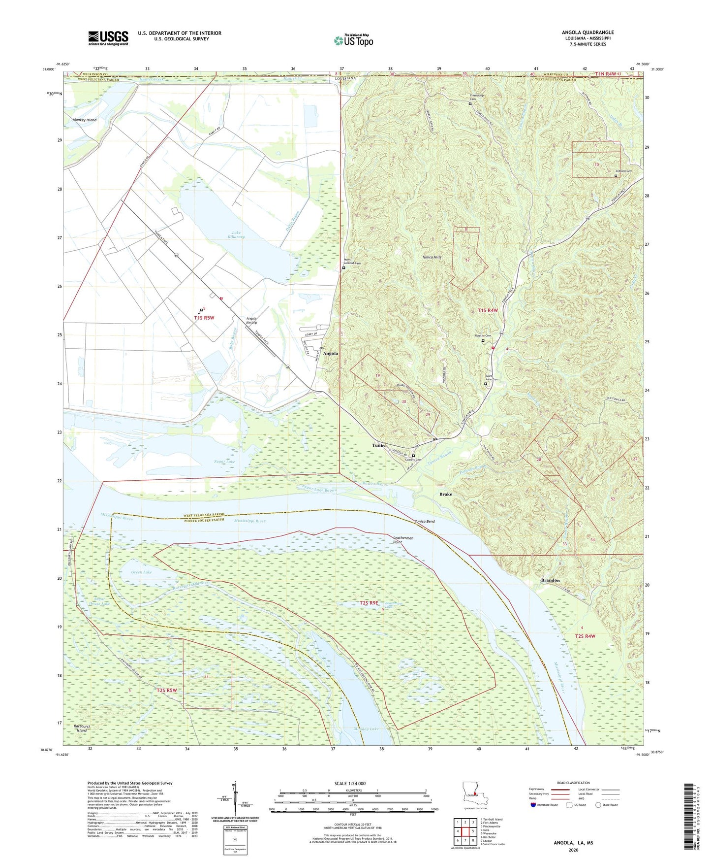
2024 topographic map quadrangle Angola in the states of Louisiana, Mississippi. Scale: 1:24000. Based on the newly updated USGS 7.5' US Topo map series, this map is in the following counties: West Feliciana, Pointe Coupee, Wilkinson. The map contains contour data, water features, and other items you are used to seeing on USGS maps, but also has updated roads and other features. This is the next generation of topographic maps. Printed on high-quality waterproof paper with UV fade-resistant inks.
Quads adjacent to this one:
West: Innis
Northwest: Turnbull Island
North: Fort Adams
Northeast: Pinckneyville
East: Weyanoke
Southeast: Saint Francisville
South: Lacour
Southwest: Batchelor
Contains the following named places: Angola, Angola Airstrip, Angola Post Office, Angola Volunteer Fire Department Louisiana State Penitentiary, Boardmans Lake, Bobs Bayou, Brake, Brandon, Camp A, Camp B, Camp E, Camp F, Camp H, Camp I, Clifford Cemetery, Comely Cemetery, Como Bayou, Como Landing, Davis Bayou, Friendship Cemetery, Friendship Church, Green Lake, Hog Point Revetment, KLSP-FM (Angola), Lake Killarney, Leatherman Point, Little Star Church, Loch Lomond Bayou, Louisiana State Penitentiary, Louisiana State Penitentiary Museum, Louisiana State Penitentiary Special School District Facility, Mount Olive Church, New Zion Church, Parish Governing Authority District 4, Point Lookout Cemetery, Pollocks Bayou, Raccourci Island, Raccourci Island Gas Field, Raccourci Old River, Ratliff Landing, Rogillio Cemetery, Rowes Bayou, Rowes Landing, Saint Augustine Church, Saint John Baptist Church, Saint John Cemetery, Saint John Church, Sands Creek, Sugar House Lake, Sugar Lake, Sugar Lake Bayou, Trudeau Landing, Tucker Landing, Tunica, Tunica Bayou, Tunica Bend, Tunica Church, Tunica Elementary School, Tunica Hills, Tunica Hills Church, Tunica Landing, Tunica Post Office, Tunica Volunteer Fire Department, Ward Seven, ZIP Codes: 70712, 70782


