MyTopo
Innis Louisiana US Topo Map
Couldn't load pickup availability
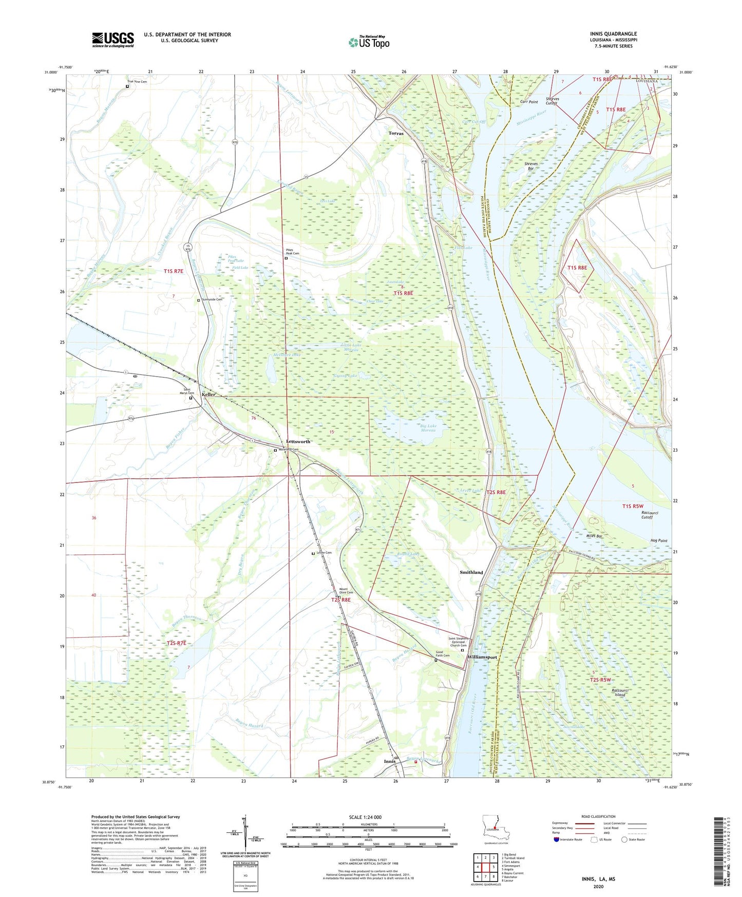
2024 topographic map quadrangle Innis in the state of Louisiana. Scale: 1:24000. Based on the newly updated USGS 7.5' US Topo map series, this map is in the following counties: Pointe Coupee, West Feliciana, Concordia, Wilkinson. The map contains contour data, water features, and other items you are used to seeing on USGS maps, but also has updated roads and other features. This is the next generation of topographic maps. Printed on high-quality waterproof paper with UV fade-resistant inks.
Quads adjacent to this one:
West: Simmesport
Northwest: Big Bend
North: Turnbull Island
Northeast: Fort Adams
East: Angola
Southeast: Lacour
South: Batchelor
Southwest: Bayou Current
Contains the following named places: Angola Landing, Bayou Fisher, Bayou Hazard, Bayou Lettsworth, Big Lake Moreau, Black Lake, Boggy Lake, Camp C, Camp D, Camp G, Carr Cut-Off, Carr Point, Carr Point Revetment, Carrs Point Landing, Charity Lake, Chinns Chapel, Clear Lake, Crooked Bayou, Dry Bayou, Field Lake, Flat Lake, Good Faith Cemetery, Good Faith Church, Good Faith School, Grassy Lake, Hog Point, Hunter Creek, Innis, Innis High School, Innis Post Office, Innis Volunteer Fire Department, Jones Lake, Keller, Lettsworth, Lettsworth Post Office, Levee Cemetery, Levee Lake, Levi Lake, Limeless Lake, Little Lake Moreau, Long Lake, McIntyre Lake, Miles Bar, Monkey Island, Morefield Cemetery, Mount Carmel Church, Mount Olive Cemetery, Mount Olive Church, New Zion Church, Parish Governing Authority District 1, Phillips Lake, Phillipston, Pikes Peak Cemetery, Pikes Peak Lake, Pleasant Grove Church, Pointe Coupee Parish Library Innis Branch, Prevailing Word Christian Center, Raccourci Cutoff, Red River Landing, Round Lake, Saint Marys Cemetery, Saint Marys Church, Saint Stephens Episcopal Church, Saint Stephens Episcopal Church Cemetery, Sawmill Lake, Shreves Bar, Shreves Cutoff, Smithland, Smithland Landing, Sunnyside Cemetery, Torras, Torras Landing, True Vine Cemetery, Ward Two, Williamsport, ZIP Code: 70753


