MyTopo
Bastrop Louisiana US Topo Map
Couldn't load pickup availability
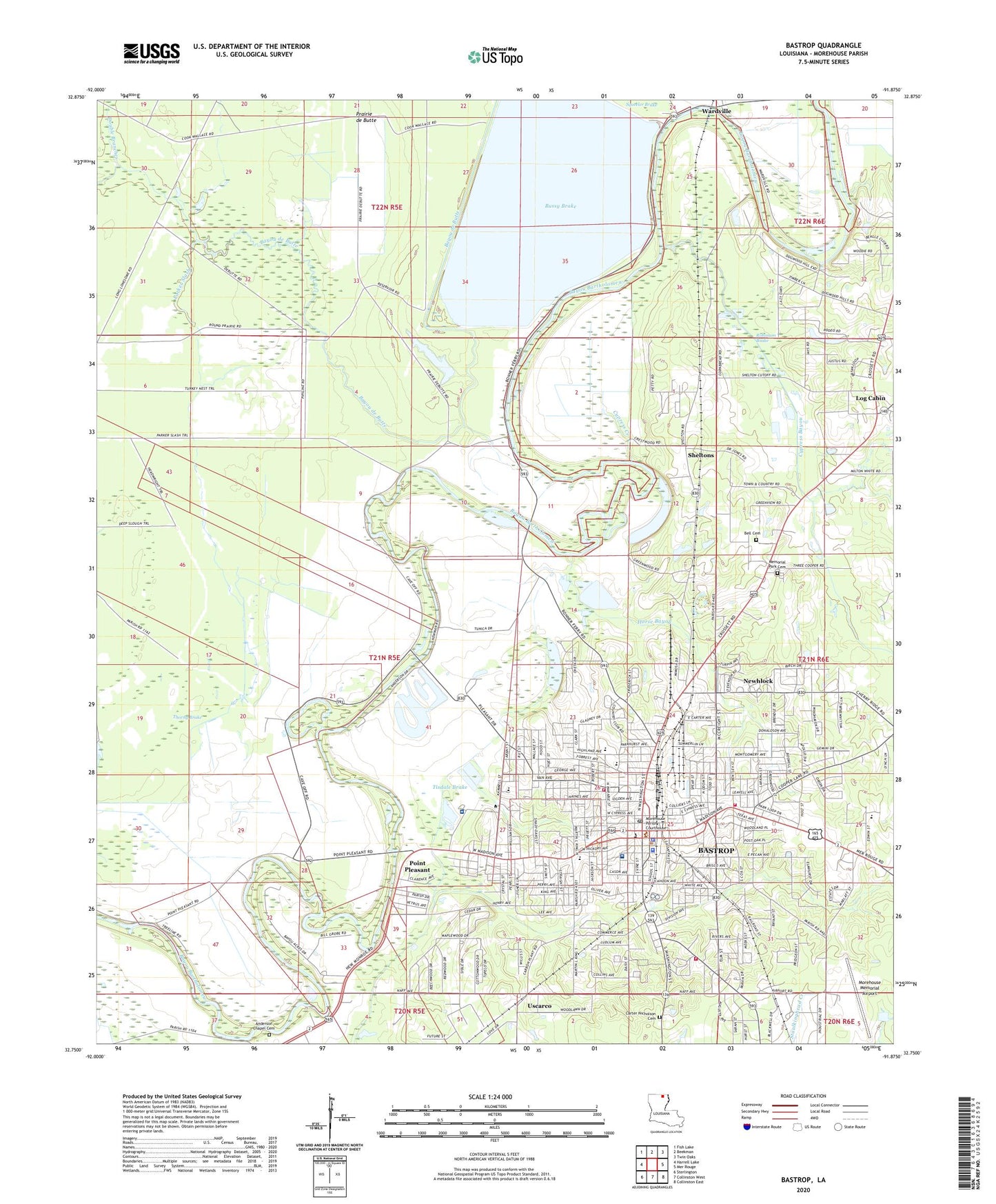
2024 topographic map quadrangle Bastrop in the state of Louisiana. Scale: 1:24000. Based on the newly updated USGS 7.5' US Topo map series, this map is in the following counties: Morehouse. The map contains contour data, water features, and other items you are used to seeing on USGS maps, but also has updated roads and other features. This is the next generation of topographic maps. Printed on high-quality waterproof paper with UV fade-resistant inks.
Quads adjacent to this one:
West: Harrell Lake
Northwest: Fish Lake
North: Beekman
Northeast: Twin Oaks
East: Mer Rouge
Southeast: Collinston East
South: Collinston West
Southwest: Sterlington
This map covers the same area as the classic USGS quad with code o32091g8.
Contains the following named places: A P Carter Park, Anderson Chapel Cemetery, Anderson Lake, Bastrop City Hall, Bastrop Fire Department Station 1, Bastrop Fire Department Station 2, Bastrop Fire Department Station 3, Bastrop Freshman High School, Bastrop High School, Bastrop Learning Academy School, Bastrop Municipal Center, Bastrop Police Department, Bastrop Post Office, Bastrop Public Library, Bastrop Rehabilitation Hospital, Bell Cemetery, Bethany Baptist Church, Bussy Brake, Carter Nicholson Cemetery, Carver Elementary School, Central Missionary Baptist Church, Cherry Ridge Baptist Church, Cherry Ridge Christian School, Cherry Ridge Elementary School, Christ Episcopal Church, City of Bastrop, Coulter Industrial Park, Cypress Bayou, Cypress Creek, De Butte Creek, Dotson Park, Double Branches, East Madison Park, East Side Elementary School, Emilea Park, Faith Baptist Church, First Assembly of God Church, First Baptist Church, First Church of God, First Presbyterian Church, First United Methodist Church, Forrest Park, G P Griffin Park, Gladney Park, Henry V Adams Elementary School, Highland Baptist Church, Horse Bayou, Ivory Chapel Baptist Church, KMYQ-AM (Bastrop), KMYQ-FM (Bastrop), KTRY-AM (Bastrop), KTRY-FM (Bastrop), Liberty Healthcare Systems Bastrop, Log Cabin, Louisiana Delta Community College Bastrop Campus, Lucy Hudson Training Center, Magnolia Baptist Church, Memorial Park Cemetery, Morehouse Alternative School, Morehouse Country Club, Morehouse General Hospital, Morehouse Junior High School, Morehouse Magnet School, Morehouse Memorial Airport, Morehouse Parish Adult Learning Center, Morehouse Parish Courthouse, Morehouse Parish Sheriff's Office, Mount Olive United Methodist Church, New Jerusalem Baptist Church, New Morning Star Baptist Church, Newhlock, Oak Hill Baptist Church, Oak Hill Elementary School, Our Lady Help of Christians Catholic Church, Our Lady Help of Christians School, Parish Governing Authority District 4, Parish Governing Authority District 5, Parish Governing Authority District 6, Parish Governing Authority District 7, Parker Slash, Pleasant Drive Pentecostal Church, Point Pleasant, Prairie de Butte, Prairie View Academy School, Ralph George Park, Robinson Brake, Saint John Baptist Church, Saint Joseph Catholic Church, Saint Joseph Catholic School, Saint Marys Christian Methodist Episcopal Church, Saint Phillips Baptist Church, Saint Timothy Baptist Church, Second Missionary Baptist Church, Sheltons, Snyder Memorial Museum, South Side Elementary School, Thorny Brake, Tisdale Brake, Trinity Assembly of God Church, United Pentecostal Church, Uscarco, Van Avenue Church of God, Ward Four, Ward One, Wardville, Washington Square Shopping Center, Welch Street Playground, West Side Baptist Church, White Avenue Baptist Church, Williams Drive Church of Christ, ZIP Code: 71220


