MyTopo
Fish Lake Louisiana US Topo Map
Couldn't load pickup availability
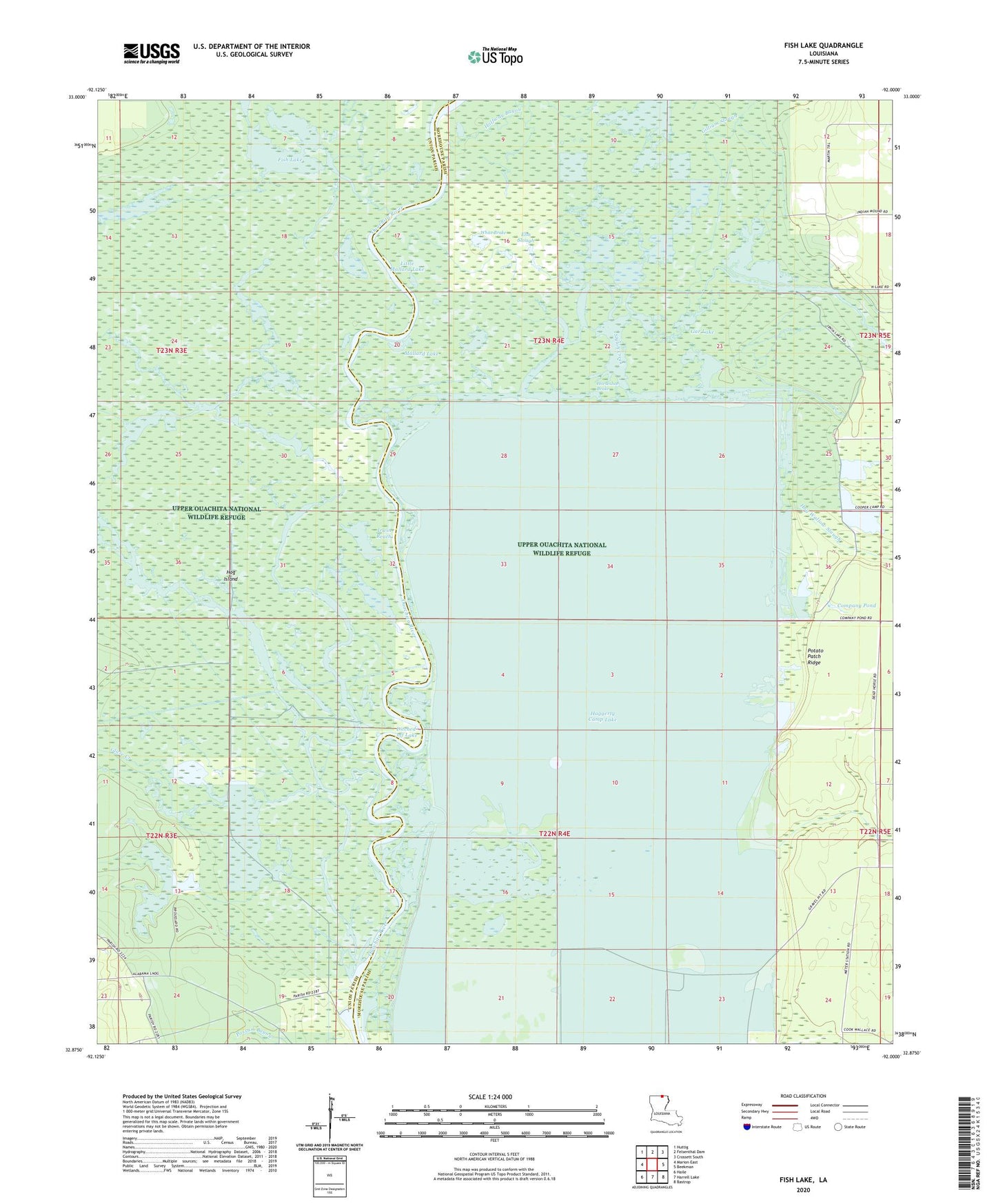
2024 topographic map quadrangle Fish Lake in the state of Louisiana. Scale: 1:24000. Based on the newly updated USGS 7.5' US Topo map series, this map is in the following counties: Morehouse, Union. The map contains contour data, water features, and other items you are used to seeing on USGS maps, but also has updated roads and other features. This is the next generation of topographic maps. Printed on high-quality waterproof paper with UV fade-resistant inks.
Quads adjacent to this one:
West: Marion East
Northwest: Huttig
North: Felsenthal Dam
Northeast: Crossett South
East: Beekman
Southeast: Bastrop
South: Harrell Lake
Southwest: Haile
This map covers the same area as the classic USGS quad with code o32092h1.
Contains the following named places: Bear Brake, Big Lake, Brantley Landing, Cecil Creek, Clear Lake, Company Pond, Deep Slough, Ditched-off Lake, Elm Slough, Fish Lake, Gar Lake, Gilliam Slough, Glaze Creek, Haggerty Camp Lake, Halfway Bayou, Halley Brake, Hog Island, Hog Wallow Slough, Horseshoe Brake, Horseshoe Lake, Irvine Lake, Irwin Reach, Little Mallard Lake, Long Brake, Mallard Lake, Mollicy Bayou, Mud Lake, Pistol Brake, Potato Patch Ridge, Round Brake, Sand Lake, Shiloh Creek, Shiloh Landing, Steep Bank Creek, Thirteen Points Landing, Upper Ouachita National Wildlife Refuge, White Brake


