MyTopo
Bayou Sauveur Louisiana US Topo Map
Couldn't load pickup availability
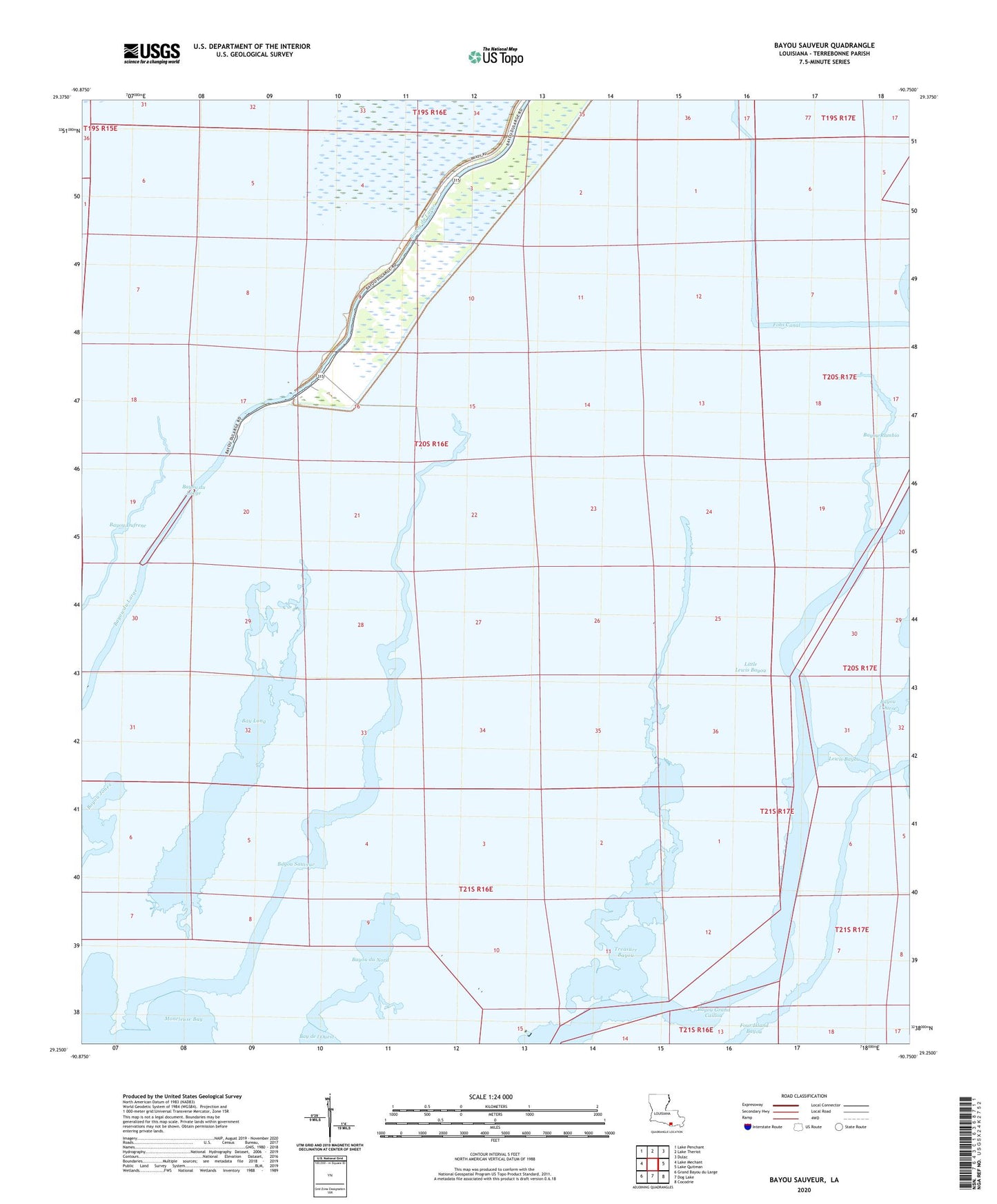
2024 topographic map quadrangle Bayou Sauveur in the state of Louisiana. Scale: 1:24000. Based on the newly updated USGS 7.5' US Topo map series, this map is in the following counties: Terrebonne. The map contains contour data, water features, and other items you are used to seeing on USGS maps, but also has updated roads and other features. This is the next generation of topographic maps. Printed on high-quality waterproof paper with UV fade-resistant inks.
Quads adjacent to this one:
West: Lake Mechant
Northwest: Lake Penchant
North: Lake Theriot
Northeast: Dulac
East: Lake Quitman
Southeast: Cocodrie
South: Dog Lake
Southwest: Grand Bayou du Large
This map covers the same area as the classic USGS quad with code o29090c7.
Contains the following named places: Bay Long, Bayou du Large Baptist Mission, Bayou du Nord, Bayou Jones, Bayou Rambio, Bayou Rambio Oil and Gas Field, Bayou Sauveur, Bourgs Camp, Du Large House of Prayer, Fohs Canal, Four Island Bayou, Immaculate Conception Church, Lewis Bayou, Little Lewis Bayou, Mound Bayou, Saint Andrews Episcopal Mission, Sauveur Bayou Gas Field, Terrebonne Parish, Treasure Bayou