MyTopo
Bush Louisiana US Topo Map
Couldn't load pickup availability
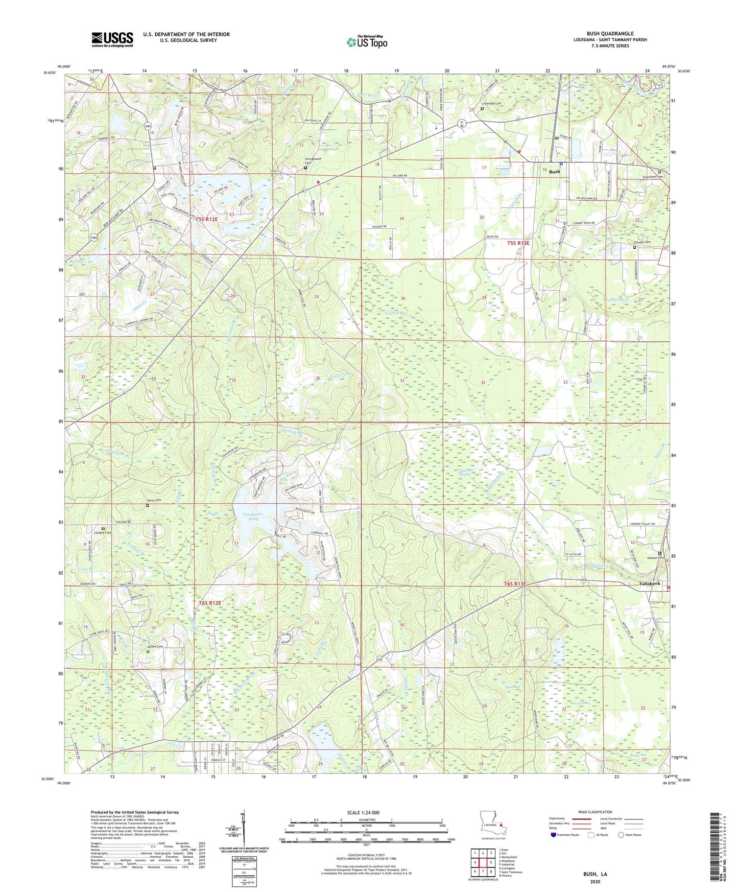
2024 topographic map quadrangle Bush in the state of Louisiana. Scale: 1:24000. Based on the newly updated USGS 7.5' US Topo map series, this map is in the following counties: St. Tammany. The map contains contour data, water features, and other items you are used to seeing on USGS maps, but also has updated roads and other features. This is the next generation of topographic maps. Printed on high-quality waterproof paper with UV fade-resistant inks.
Quads adjacent to this one:
West: Waldheim
Northwest: Enon
North: Sun
Northeast: Henleyfield
East: Industrial
Southeast: Hickory
South: Saint Tammany
Southwest: Covington
This map covers the same area as the classic USGS quad with code o30089e8.
Contains the following named places: Beef Branch, Big Branch, Big Reed Break, Boggy Bay, Bush, Bush Church, Bush Post Office, Church of God, Cleland Cemetery, Coon Fork, Cowart Cemetery, Cowpen Bay, Crawford Cemetery, Dave, Davis Cemetery, Double Branch, Fanny Cook Bay, Fifth Ward Junior High School, Goodyears Pond, Grantham Cemetery, Gum Swamp, Gum Swamp Dam, Hillcrest Golf Course, Hillcrest Pond, Hillcrest Pond Dam, Holmes Cemetery, Jacks Branch, Kimball Branch, Lavinghouse Cemetery, Louisiana Noname 25 Dam, Louisiana Noname 26 Dam, Money Hill Dam, Money Hill Golf and Country Club, Mule Bay, New Beginning Baptist Church, Pound Branch, Quave Cemetery, Saint Tammany Parish Fire District 9 - Bush and Fifth Ward Volunteer Fire Department, Saint Tammany Parish Fire District 9 Station 91, Saint Tammany Parish Fire District 9 Station 93, Saint Tammany Parish Library Bush Branch, Saint Tammany Parish Sheriff's Office, Spanish Branch, Stratman Branch, Talisheek, Talisheek Bay, Talisheek Fire and Rescue, Talisheek Swamp, Tenmile Branch, Thurmans Pond, Thurmans Pond Dam, Victory Faith United Pentecostal Church, Waldheim Lookout Tower, Ward Five, Waterhole Branch, ZIP Codes: 70431, 70464


