MyTopo
Frost Louisiana US Topo Map
Couldn't load pickup availability
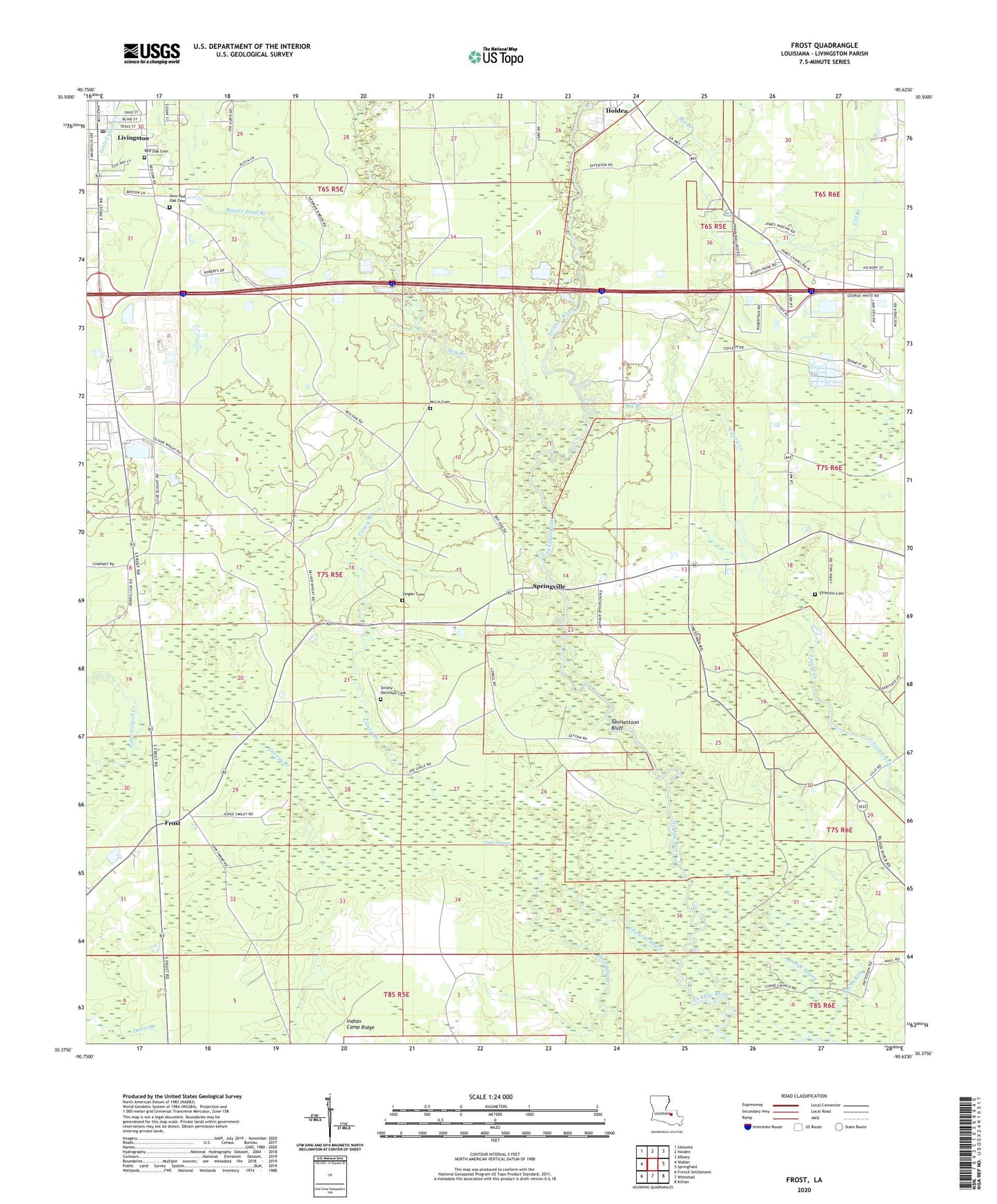
2024 topographic map quadrangle Frost in the state of Louisiana. Scale: 1:24000. Based on the newly updated USGS 7.5' US Topo map series, this map is in the following counties: Livingston. The map contains contour data, water features, and other items you are used to seeing on USGS maps, but also has updated roads and other features. This is the next generation of topographic maps. Printed on high-quality waterproof paper with UV fade-resistant inks.
Quads adjacent to this one:
West: Walker
Northwest: Satsuma
North: Holden
Northeast: Albany
East: Springfield
Southeast: Killian
South: Whitehall
Southwest: French Settlement
This map covers the same area as the classic USGS quad with code o30090d6.
Contains the following named places: Beaver Pond Branch, Big Bayou, Big Branch, Bridge Bayou, Caney Branch, Cat Branch, Edwards Bayou, Efferson Cemetery, First Baptist Church, Frost, Glory Baptist Church, Greasy Branch, Gum Swamp, Hog Branch, Indian Camp Ridge, Living Waters Apostolic Church, Livingston Parish, Livingston Parish Health Unit, McLin Cemetery, Pentecostal Church, Red Oak Baptist Church, Red Oak Cemetery, Red Oak Methodist Episcopal Church, Saint James Baptist Church, Saulsettoon Bluff, Smiley - Davidson Cemetery, Smiley Landing, Springfield Baptist Church, Springville, Springville Lookout Tower, Tarvon Swamp, The Freedom Church, Tickfaw State Park, Town of Livingston, Van Buren, Wall Settlement, Zeigler Cemetery


