MyTopo
Ivan Louisiana US Topo Map
Couldn't load pickup availability
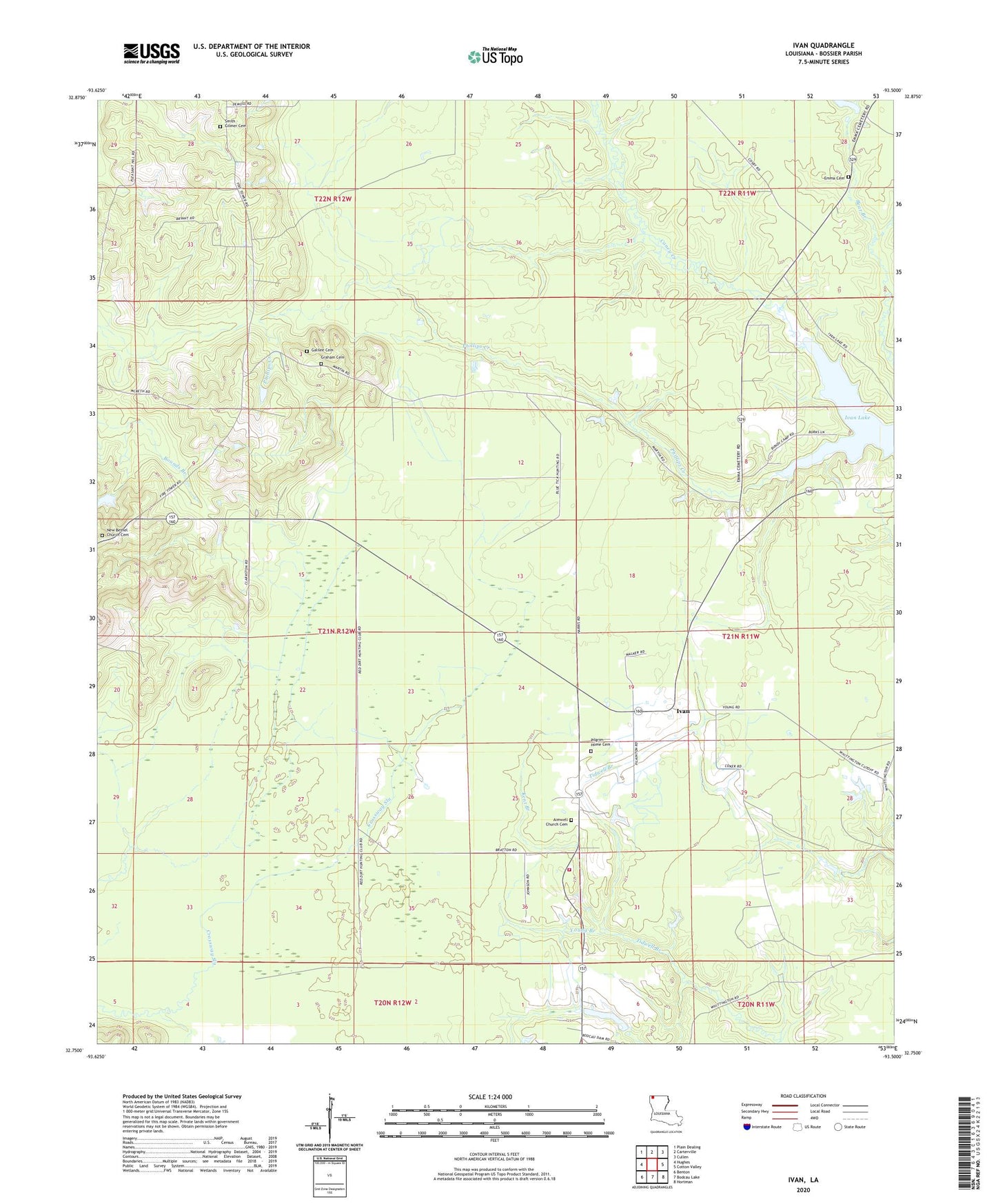
2024 topographic map quadrangle Ivan in the state of Louisiana. Scale: 1:24000. Based on the newly updated USGS 7.5' US Topo map series, this map is in the following counties: Bossier. The map contains contour data, water features, and other items you are used to seeing on USGS maps, but also has updated roads and other features. This is the next generation of topographic maps. Printed on high-quality waterproof paper with UV fade-resistant inks.
Quads adjacent to this one:
West: Hughes
Northwest: Plain Dealing
North: Carterville
Northeast: Cullen
East: Cotton Valley
Southeast: Hortman
South: Bodcau Lake
Southwest: Benton
This map covers the same area as the classic USGS quad with code o32093g5.
Contains the following named places: Aimwell Church, Bossier Parish Fire District 3 - Ivan Volunteer Fire Department, Emma Cemetery, Galilee Church, Graham Cemetery, Ivan, Ivan Lake, Ivan Oil and Gas Field, Kent Branch, New Bethel Church, Phillips Creek, Pilgrim Home Baptist Church, Pilgrim Home Cemetery, Rocky Mount Gas Field, Smith - Gilmer Cemetery, Young Branch