MyTopo
Kaplan South Louisiana US Topo Map
Couldn't load pickup availability
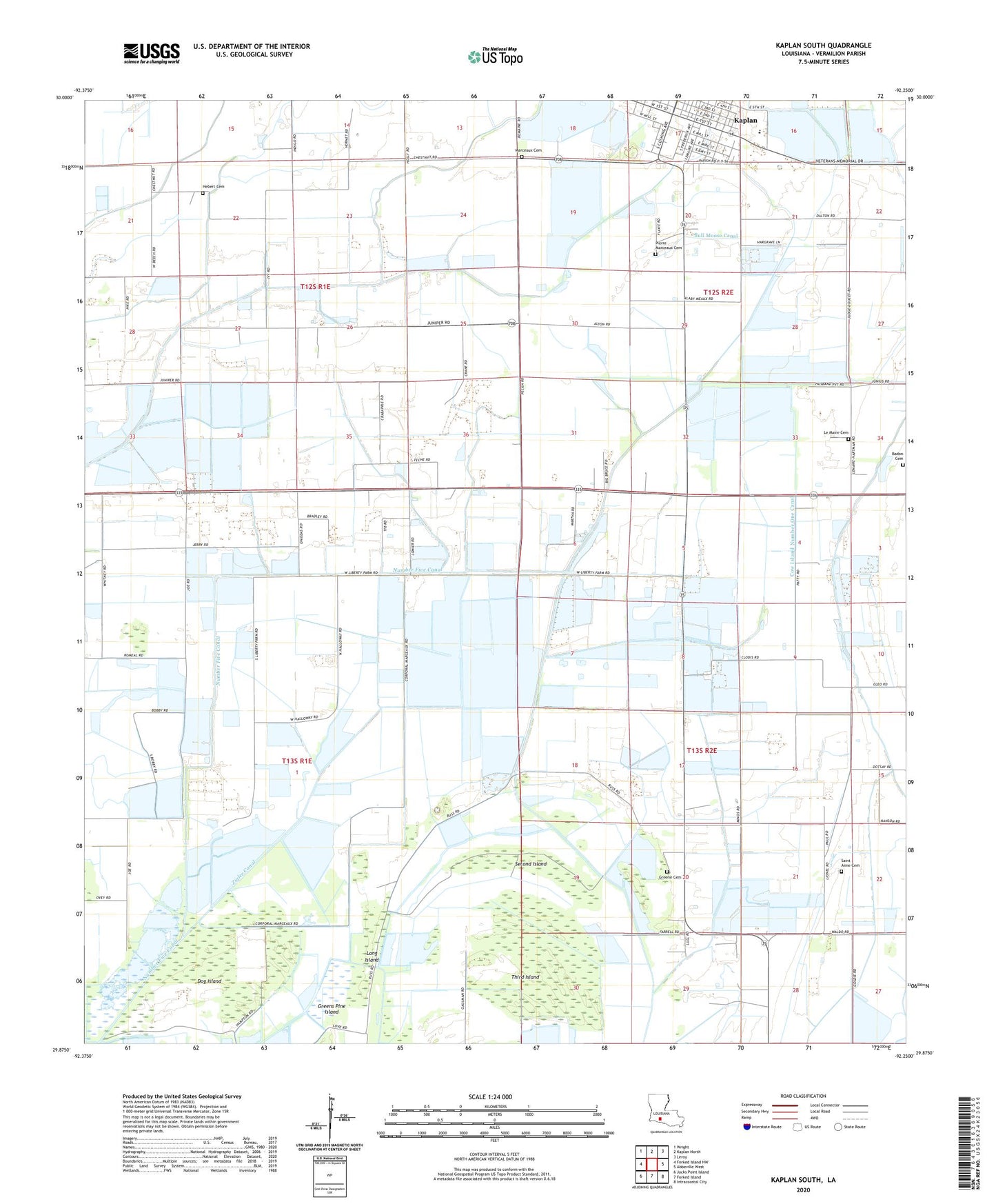
2024 topographic map quadrangle Kaplan South in the state of Louisiana. Scale: 1:24000. Based on the newly updated USGS 7.5' US Topo map series, this map is in the following counties: Vermilion. The map contains contour data, water features, and other items you are used to seeing on USGS maps, but also has updated roads and other features. This is the next generation of topographic maps. Printed on high-quality waterproof paper with UV fade-resistant inks.
Quads adjacent to this one:
West: Forked Island NW
Northwest: Wright
North: Kaplan North
Northeast: Leroy
East: Abbeville West
Southeast: Intracoastal City
South: Forked Island
Southwest: Jacks Point Island
This map covers the same area as the classic USGS quad with code o29092h3.
Contains the following named places: Badon Cemetery, Broussard Landing Field, Bull Moose Canal, Coulee Baton Canal, Cow Island, Cow Island Number One Canal, Cow Island Trunkline Heliport, Dog Island, East Broussard School, Ernest Broussard Agriculture School, Greene Cemetery, Hebert Cemetery, Kaplan, Kaplan High School, Kaplan Wastewater Treatment Plant, Le Maire Cemetery, Long Island, Marceaux Cemetery, Mulvey Oil Field, Number Five Canal, Pierre Marceaux Cemetery, Randall Greene Landing Strip, Saint Anne Catholic Church, Second Island, Sixth Ward Canal, Sledge Canal, Third Island, Transco Heliport, Transco Kaplan Heliport, Ward Six, Zigler Canal


