MyTopo
Marone Point Louisiana US Topo Map
Couldn't load pickup availability
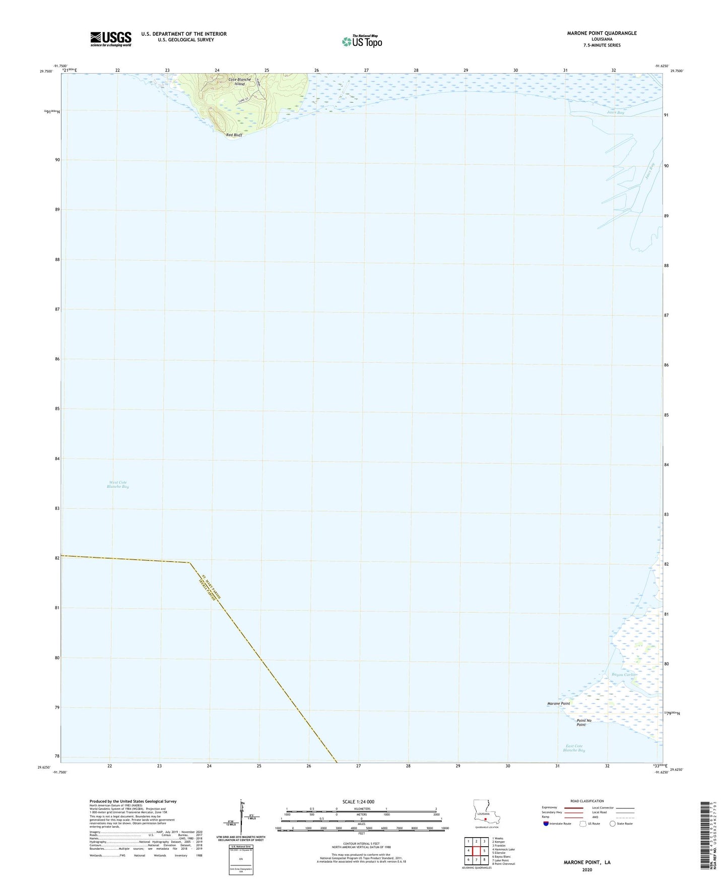
2024 topographic map quadrangle Marone Point in the state of Louisiana. Scale: 1:24000. Based on the newly updated USGS 7.5' US Topo map series, this map is in the following counties: St. Mary, Iberia. The map contains contour data, water features, and other items you are used to seeing on USGS maps, but also has updated roads and other features. This is the next generation of topographic maps. Printed on high-quality waterproof paper with UV fade-resistant inks.
Quads adjacent to this one:
West: Hammock Lake
Northwest: Weeks
North: Kemper
Northeast: Franklin
East: Ellerslie
Southeast: Point Chevreuil
South: Lake Point
Southwest: Bayou Blanc
This map covers the same area as the classic USGS quad with code o29091f6.
Contains the following named places: Cote Blanche Island Oil and Gas Field, Cote Blanche Landing, Hackberry Lake, Marone Point, Parish Governing Authority District 3, Point No Point, Red Bluff, West Cote Blanche Bay