MyTopo
Mittie Louisiana US Topo Map
Couldn't load pickup availability
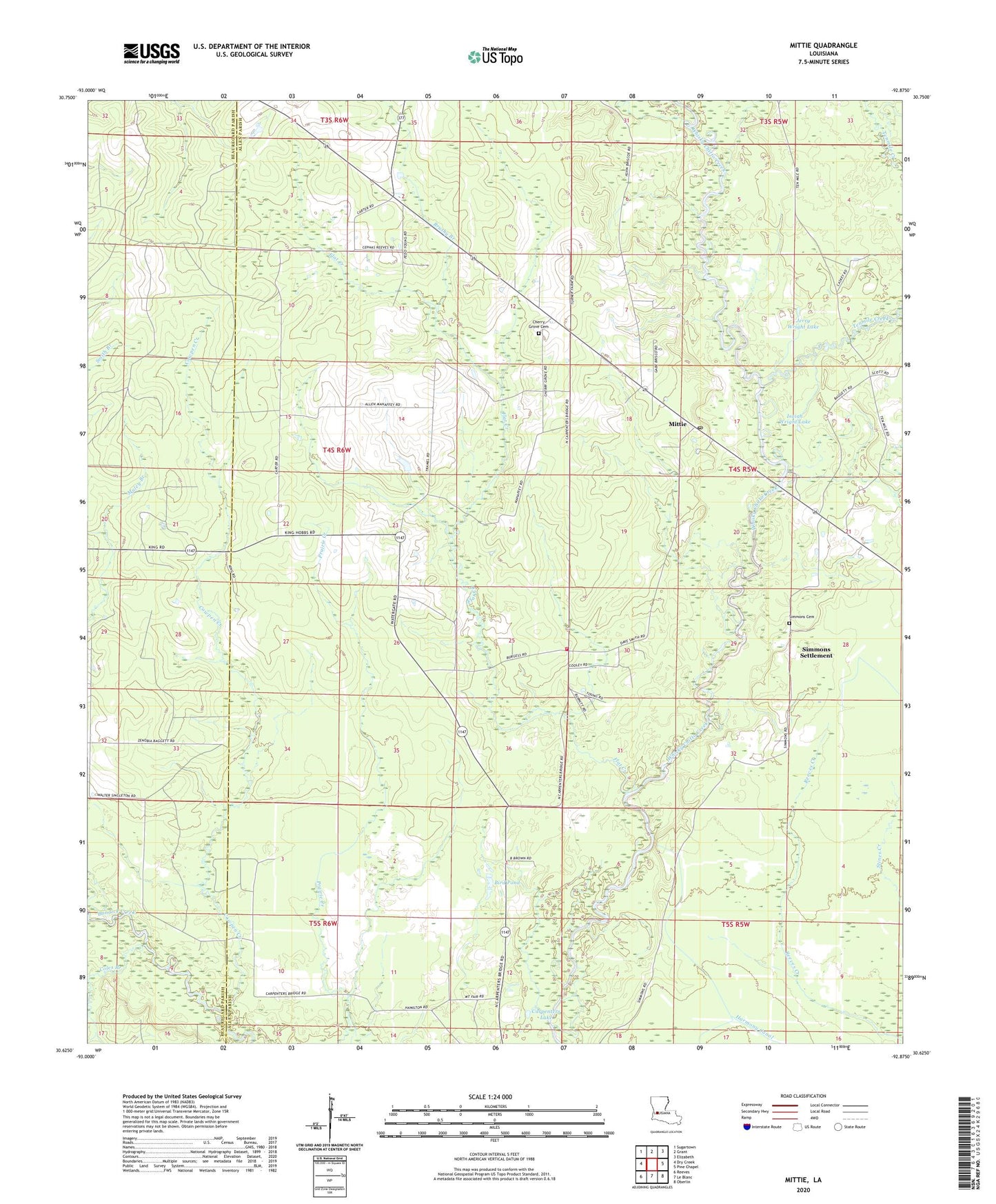
2024 topographic map quadrangle Mittie in the state of Louisiana. Scale: 1:24000. Based on the newly updated USGS 7.5' US Topo map series, this map is in the following counties: Allen, Beauregard. The map contains contour data, water features, and other items you are used to seeing on USGS maps, but also has updated roads and other features. This is the next generation of topographic maps. Printed on high-quality waterproof paper with UV fade-resistant inks.
Quads adjacent to this one:
West: Dry Creek
Northwest: Sugartown
North: Grant
Northeast: Elizabeth
East: Pine Chapel
Southeast: Oberlin
South: Le Blanc
Southwest: Reeves
This map covers the same area as the classic USGS quad with code o30092f8.
Contains the following named places: Allen Parish Fire Protection District 3, Bird Pond, Brushy Branch, Carpenters Lake, Cherry Grove, Cherry Grove Church, Coles Branch, Cowpen Creek, Flat Creek, Isaiah Wright Lake, Jerry Wright Lake, Mittie, Mittie Post Office, Mount Fair Church, North Mittie Gas Field, Parish Governing Authority District 4, Simmons Cemetery, Simmons Settlement, Tenmile Creek, Twin Oak Church, ZIP Codes: 70637, 70654