MyTopo
Montgomery Louisiana US Topo Map
Couldn't load pickup availability
Also explore the Montgomery Forest Service Topo of this same quad for updated USFS data
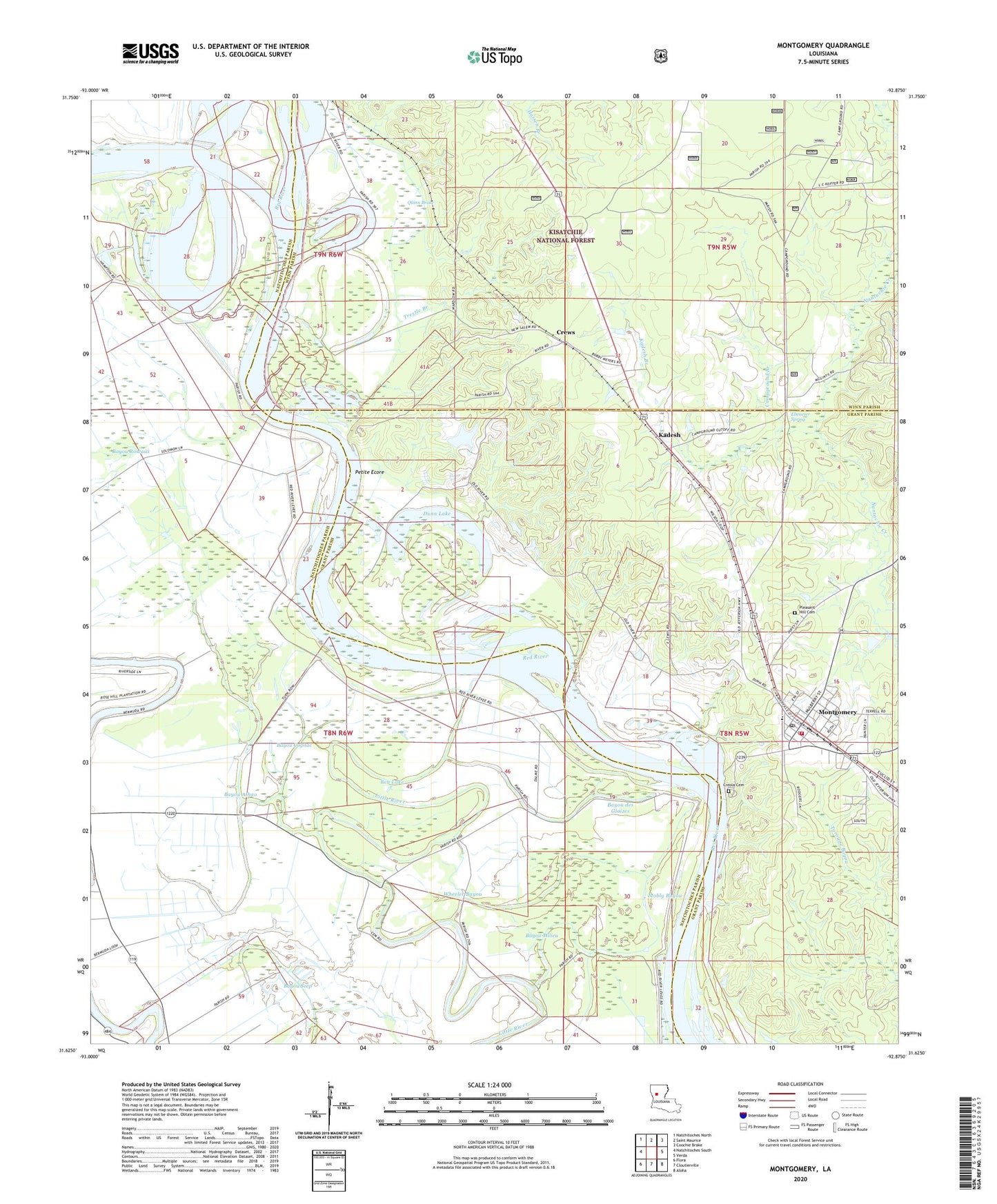
2024 topographic map quadrangle Montgomery in the state of Louisiana. Scale: 1:24000. Based on the newly updated USGS 7.5' US Topo map series, this map is in the following counties: Natchitoches, Grant, Winn. The map contains contour data, water features, and other items you are used to seeing on USGS maps, but also has updated roads and other features. This is the next generation of topographic maps. Printed on high-quality waterproof paper with UV fade-resistant inks.
Quads adjacent to this one:
West: Natchitoches South
Northwest: Natchitoches North
North: Saint Maurice
Northeast: Coochie Brake
East: Verda
Southeast: Aloha
South: Cloutierville
Southwest: Flora
This map covers the same area as the classic USGS quad with code o31092f8.
Contains the following named places: Bayou Athao, Bayou Cadoche, Bayou Cognac, Bayou Cypress, Bayou des Glaizes, Bayou Milieu, Bayou Roseaux, Bayou Seep, Ben Lake, Boley, Borden School, Campground Branch, Cockfield, Cockfield School, Cognac, Creola Cemetery, Crews, Dunn Lake, Ebenezer Camp, Ebenezer Spring, Hicks School, Holy Church, Kadesh, Kadesh Branch, Mobly Bayou, Montgomery, Montgomery Ferry, Montgomery Gaines Junior High School, Montgomery High School, Montgomery Police Department, Montgomery Volunteer Fire Department, Mount Vernon Church, New Beulah Church, New Nazarene Church, New Salem Church, Old Montgomery, Petite Ecore, Pleasant Hill Cemetery, Pleasant Hill Church, Quinn Brake, Robinson Landing Strip, Saint Marthas Church, Saint Marys Church, Saint Matthew Church, Saint Matthews School, Saint Maurice Lake, Town of Montgomery, Trestle Branch, Wheeler Bayou, Williams Corner, ZIP Code: 71456