MyTopo
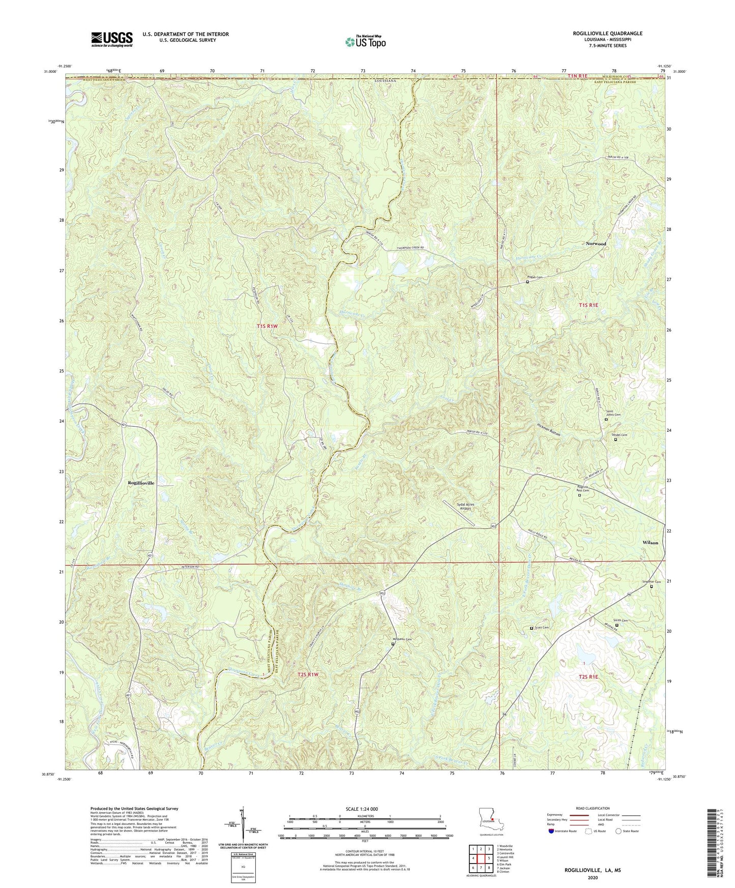
Rogillioville Louisiana US Topo Map
Couldn't load pickup availability
2024 topographic map quadrangle Rogillioville in the state of Louisiana. Scale: 1:24000. Based on the newly updated USGS 7.5' US Topo map series, this map is in the following counties: East Feliciana, West Feliciana, Wilkinson. The map contains contour data, water features, and other items you are used to seeing on USGS maps, but also has updated roads and other features. This is the next generation of topographic maps. Printed on high-quality waterproof paper with UV fade-resistant inks.
Quads adjacent to this one:
West: Laurel Hill
Northwest: Woodville
North: Newtonia
Northeast: Centreville
East: Wilson
Southeast: Clinton
South: Jackson
Southwest: Elm Park
Contains the following named places: Beaver Creek, Cason Creek, Cockerham Lake Dam, Concord Church, Dawson Branch, East Fork Beaver Dam Creek, Gin Branch, Hickman Bottom, Hickory Grove Church, Hickory Hill Plantation, Hurricane Creek, Jews Creek, Lost Creek, McQueen Cemetery, Mount Common Church, Mount Common Church Gas Field, Mount Pisgah Christian Methodist Episcopal Church Cemetery, Oakgrove Church, Parish Governing Authority District 3, Pilgrim Rest Baptist Church, Pilgrim Rest Missionary Baptist Church Cemetery, Pilgrims Rest Church, Rogillioville, Saint Johns Cemetery, Saint Paul Missionary Baptist Church, Sandel Cemetery, Santle Branch, Scott Cemetery, Shady Grove Branch, Shothole Branch, Singletar Cemetery, Smith Cemetery, South Fork Beaver Creek, Spring Branch, Sydal Acres Airport, The Shades Plantation, Thom Creek, Thompson Creek Oil Field, Trinity Baptist Church, Ward Five, Wayside, Westerfield Lake Dam


