MyTopo
Newtonia Mississippi US Topo Map
Couldn't load pickup availability
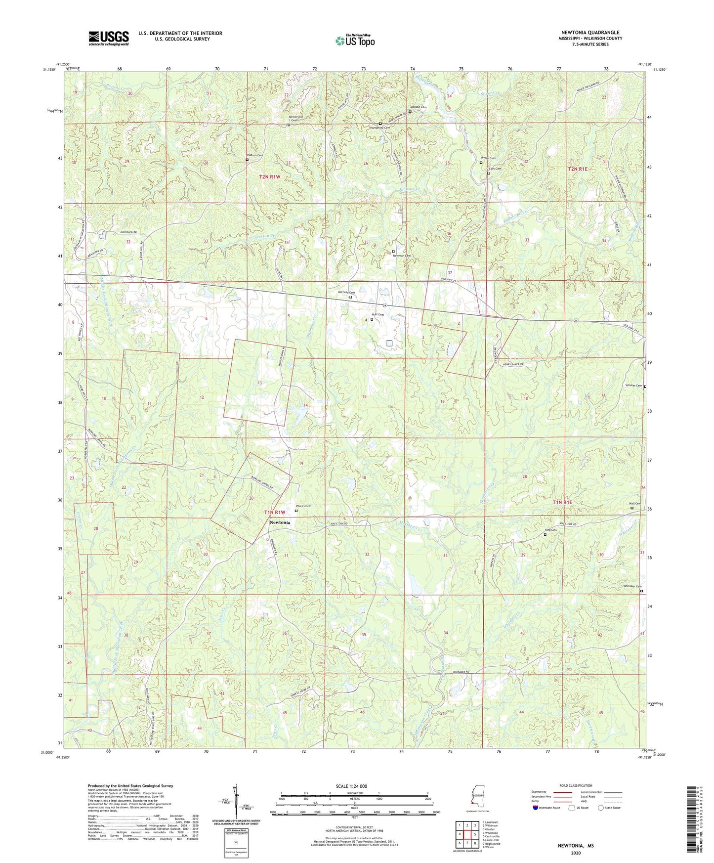
2024 topographic map quadrangle Newtonia in the state of Mississippi. Scale: 1:24000. Based on the newly updated USGS 7.5' US Topo map series, this map is in the following counties: Wilkinson. The map contains contour data, water features, and other items you are used to seeing on USGS maps, but also has updated roads and other features. This is the next generation of topographic maps. Printed on high-quality waterproof paper with UV fade-resistant inks.
Quads adjacent to this one:
West: Woodville
Northwest: Laneheart
North: Wilkinson
Northeast: Gloster
East: Centreville
Southeast: Wilson
South: Rogillioville
Southwest: Laurel Hill
This map covers the same area as the classic USGS quad with code o31091a2.
Contains the following named places: Bleak House Church, Cage Chapel, Carter Creek, Charlie Graves Lake Dam, Cory Cemetery, E M Kee Junior Lake Dam, Forest Home Airport, Hatfield Cemetery, Hudson Cemetery, Huff Cemetery, Humphrey Cemetery, Jackson Cemetery, Jackson Creek, King Cemetery, Lake Walthall Dam, Matthews Creek, Mount Pleasant, Mount Pleasant Church, Netterville 1 Cemetery, Newman Cemetery, Newtonia, Phares Cemetery, Pilgrim Rest Church, Pine Grove Church, Pleasant Grove Church, Schuter Cemetery, Silver Creek, Supervisor District 1, Trinity Church, Wall Cemetery, Whitaker Cemetery, Whitaker Creek, White Cemetery, Whites Church, ZIP Code: 39631