MyTopo
Slocum Louisiana US Topo Map
Couldn't load pickup availability
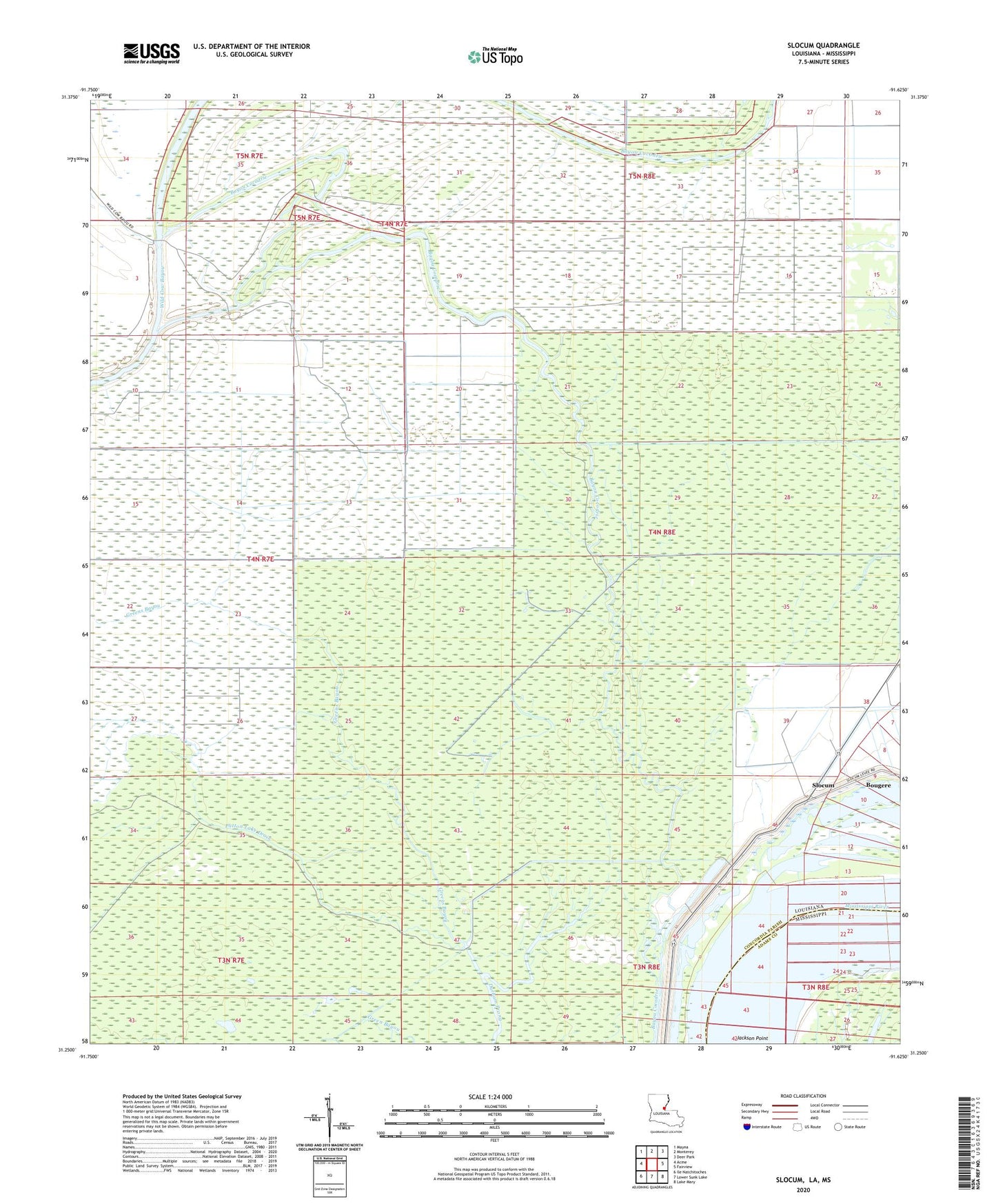
2020 topographic map quadrangle Slocum in the states of Louisiana, Mississippi. Scale: 1:24000. Based on the newly updated USGS 7.5' US Topo map series, this map is in the following counties: Concordia, Adams. The map contains contour data, water features, and other items you are used to seeing on USGS maps, but also has updated roads and other features. This is the next generation of topographic maps. Printed on high-quality waterproof paper with UV fade-resistant inks.
Quads adjacent to this one:
West: Acme
Northwest: Mayna
North: Monterey
Northeast: Deer Park
East: Fairview
Southeast: Lake Mary
South: Lower Sunk Lake
Southwest: Ile Natchitoches
Contains the following named places: Bayou Cocodrie Oil Field, Boggy Bayou, Bougere, Dobbs Bay Oil Field, Greens Bayou, Greens Bayou Oil Field, Jackson Point, Middle Bayou Cocodrie Oil Field, Muddy Swamp, Parish Governing Authority District 5B, Patton Lake Drain, Red River State Wildlife Management Area, Slocum, Slocum Oil Field, South Slocum Oil Field, West Bayou Cocodrie Oil Field, West Slocum Oil Field