MyTopo
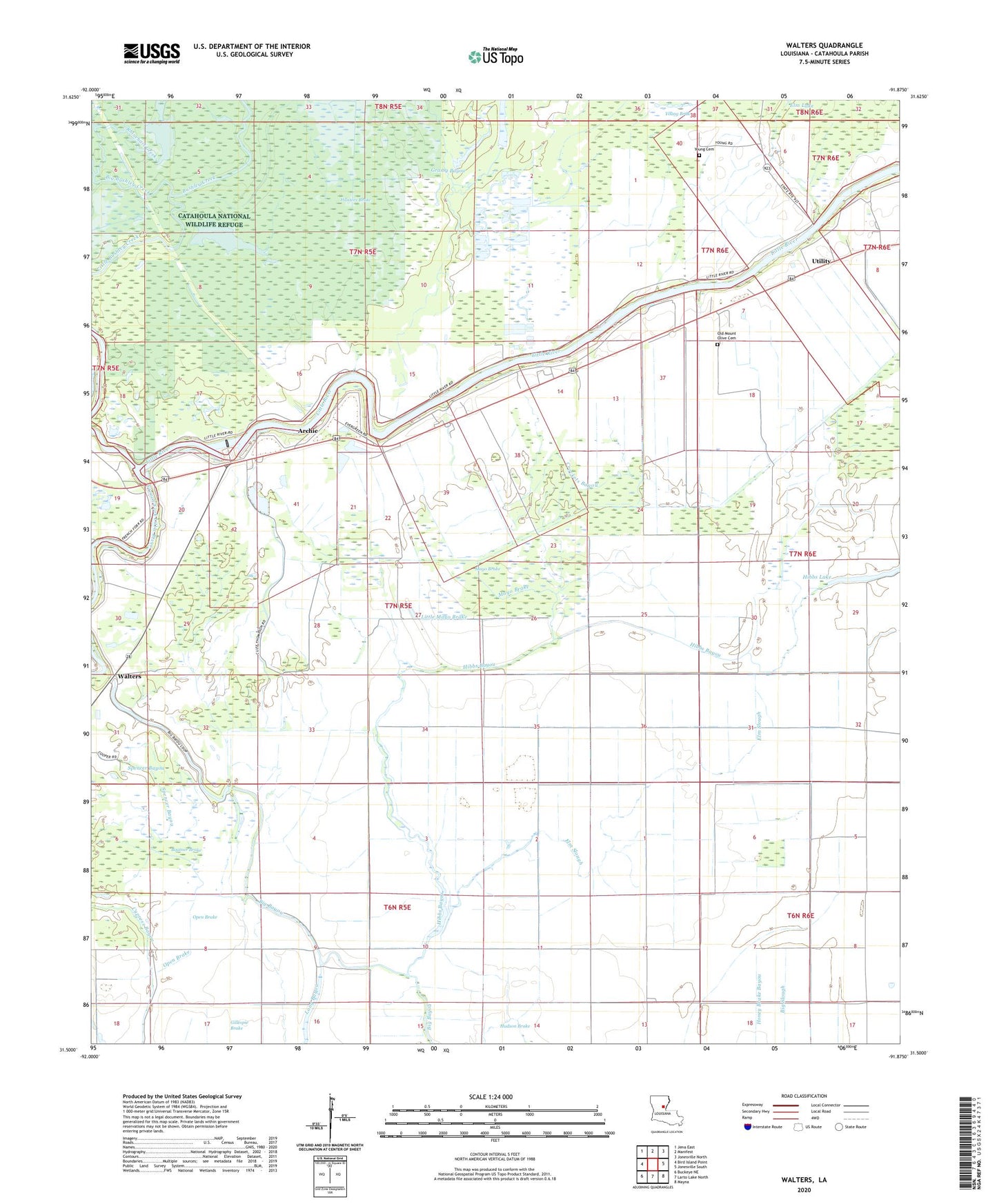
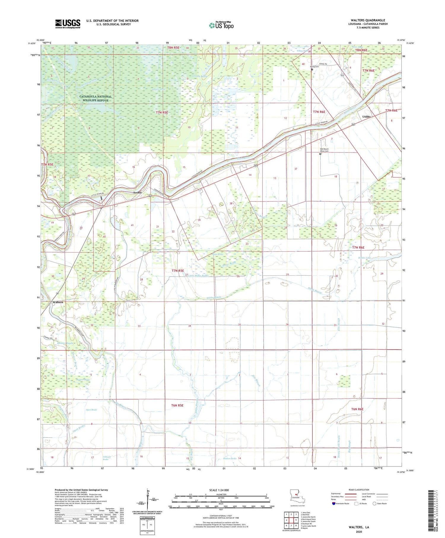
Walters Louisiana US Topo Map
Couldn't load pickup availability
2020 topographic map quadrangle Walters in the state of Louisiana. Scale: 1:24000. Based on the newly updated USGS 7.5' US Topo map series, this map is in the following counties: Catahoula. The map contains contour data, water features, and other items you are used to seeing on USGS maps, but also has updated roads and other features. This is the next generation of topographic maps. Printed on high-quality waterproof paper with UV fade-resistant inks.
Quads adjacent to this one:
West: Bird Island Point
Northwest: Jena East
North: Manifest
Northeast: Jonesville North
East: Jonesville South
Southeast: Mayna
South: Larto Lake North
Southwest: Buckeye NE
Contains the following named places: Archie, Boatner Brake, Boltners Brake Oil Field, Bull Lake, Bushley Creek, Catahoula Lake, Catahoula National Wildlife Refuge, Cooper Camp, Crockets Bayou, Dempsey Lake, Elm Slough, Evergreen Church, French Fork Little River, Grassy Bayou, Hibbs Bayou, Hibbs Lake, Hogpen Slough, Hunters Brake, Lavacco, Little Mayo Brake, Little River Closure Dam, Long Bayou, Mayo Brake, New Mount Olive Church, Old Mount Olive Cemetery, Old Mount Olive Church, Old River, Open Brake, Parish Governing Authority District 6, Pritchard Camp, Rhinehart Creek, Rhinehart Lake, Spencer Bayou, Utility, Utility Oil Field, Walters, Young Brake, Young Cemetery, ZIP Code: 71343