
MyTopo
Buckeye NE Louisiana US Topo Map
Couldn't load pickup availability
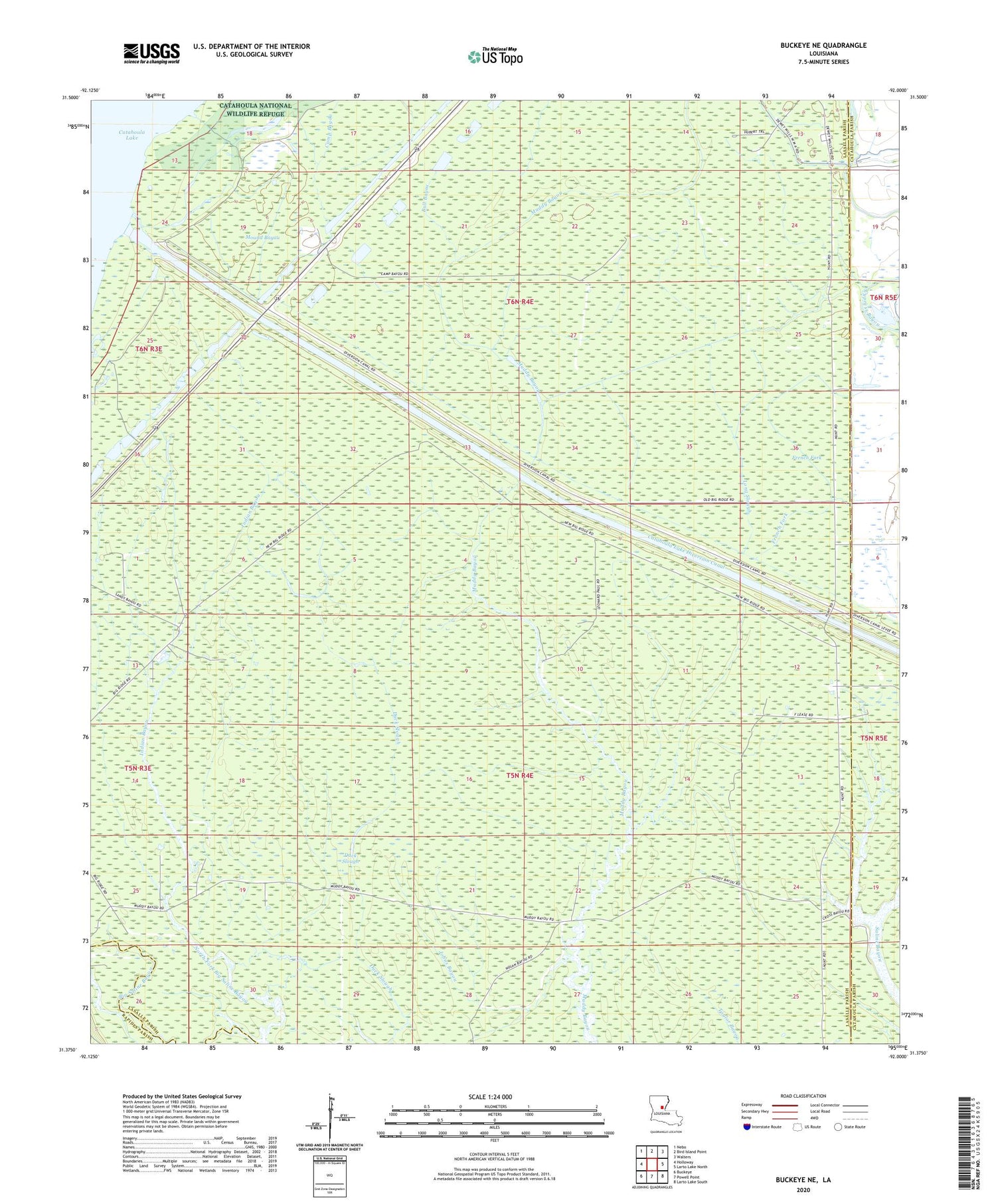
2024 topographic map quadrangle Buckeye NE in the state of Louisiana. Scale: 1:24000. Based on the newly updated USGS 7.5' US Topo map series, this map is in the following counties: LaSalle, Catahoula, Rapides. The map contains contour data, water features, and other items you are used to seeing on USGS maps, but also has updated roads and other features. This is the next generation of topographic maps. Printed on high-quality waterproof paper with UV fade-resistant inks.
Quads adjacent to this one:
West: Holloway
Northwest: Nebo
North: Bird Island Point
Northeast: Walters
East: Larto Lake North
Southeast: Larto Lake South
South: Powell Point
Southwest: Buckeye
This map covers the same area as the classic USGS quad with code o31092d1.
Contains the following named places: Bull Bayou, Catahoula Lake Diversion Canal, Cross Bayou, Cypress Bayou Oil Field, Dewey W Wills State Wildlife Management Area, Duck Slough, East Muddy Bayou Oil Field, French Fork, French Fork Oil Field, Indian Bayou, Indian Bayou Oil Field, Johns Bayou, Long Slough, Long Slough Oil Field, Mound Bayou, Muddy Bayou Oil Field, North Big Island Oil Field, North Fork Big Saline Bayou, Sandy Bayou, Sandy Bayou Oil Field, South Catahoula Lake Oil Field, South Frence Fork Oil Field, West Elm Ridge Oil Field, West Long Slough Oil Field, West Saline Lake Oil Field


