MyTopo
Bristol Maine US Topo Map
Couldn't load pickup availability
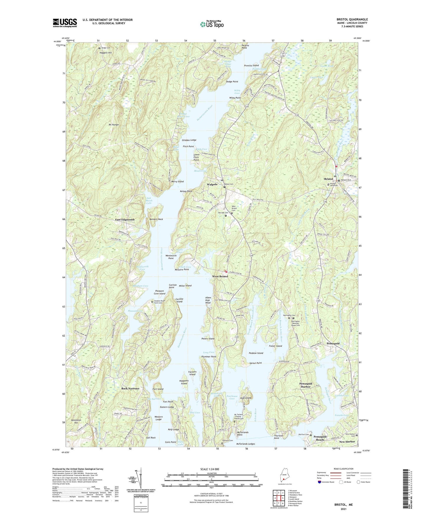
2024 topographic map quadrangle Bristol in the state of Maine. Scale: 1:24000. Based on the newly updated USGS 7.5' US Topo map series, this map is in the following counties: Lincoln. The map contains contour data, water features, and other items you are used to seeing on USGS maps, but also has updated roads and other features. This is the next generation of topographic maps. Printed on high-quality waterproof paper with UV fade-resistant inks.
Quads adjacent to this one:
West: Westport
Northwest: Wiscasset
North: Damariscotta
Northeast: Waldoboro West
East: Louds Island
Southeast: New Harbor
South: Pemaquid Point
Southwest: Boothbay Harbor
This map covers the same area as the classic USGS quad with code o43069h5.
Contains the following named places: Albee High Head, Back Narrows, Bennett Neck, Biscay Pond, Boothbay Railway Village, Boothbay Region Country Club, Bradstreet Cove, Briar Cove, Bristol, Bristol Area Library, Bristol Consolidated School, Bristol Fire Station, Bristol Mills Dam, Bristol Post Office, Burnham Cove, Carlisle Island, Carlisle Point, Cavis Cove, Cavis Point, Clark Cove, Clark Cove Pond, Clark Cove Pond Dam, Colonial Pemaquid State Historic Site, Congregational Church of Bristol, Coombs Cove, Darling Marine Center Library, Darling Marine Center School, Dodge Cemetery, Dodge Lower Cove, Dodge Point, Dodge Point Preserve, Dodge Upper Cove, East Edgecomb, Eastern Branch Johns River, Eastern Ledge, Farmers Island, Fitch Cove, Fitch Point, Fort Charles, Fort Island, Fort Point, Fossetts Cove, Foster Island, Gall Rock, Glidden Ledge, Haggett Hill, Harrington Meetinghouse, High Island, Hodgsons Island, Hunters Landing, Ira C Darling Center for Research Teaching and Service, Kelp Ledge, Kelsey Point, Kenneth E Stoddard Shell Museum, Kenniston Hill, Kitzi-Colby Preserve, Lincoln County, Little Falls Brook, Long Cove, Longfellow School, Lower Fitch Point, Lower Pond, Lowes Cove, McFarlands Ledges, McFarlands Point, McGuire Point, Mears Cove, Merry Island, Miller Island, Mount Hunger, North Branch Johns River, Old Walpole Meetinghouse, Peabow Island, Pemaquid, Pemaquid Fishermans Co-operative Building, Pemaquid Harbor, Pemaquid Historical Association Library, Pemaquid River, Peters Island, Pleasant Cove, Pleasant Cove Island, Plummer Point, Pools Landing, Poorhouse Cove, Prentiss Cove, Prentiss Island, Salt Marsh Cove, Seal Cove, Shore Hills Campground, South Bristol Town House, South Bristol Volunteer Fire Department Walpole Station, Sproul Point, The Narrows, Thompson Harvesting Museum, Thurston Point, Town of Edgecomb, Town of South Bristol, Upper Pond, Wadsworth Cove, Walpole, Walpole Post Office, Wawenock Country Club, Wentworth Point, West Bristol, West Bristol Cemetery, Western Ledge, Wiley Brook, Wiley Cove, Wiley Point, William Henry Memorial Fort, ZIP Codes: 04537, 04539, 04556, 04558, 04573


