MyTopo
East Winn Maine US Topo Map
Couldn't load pickup availability
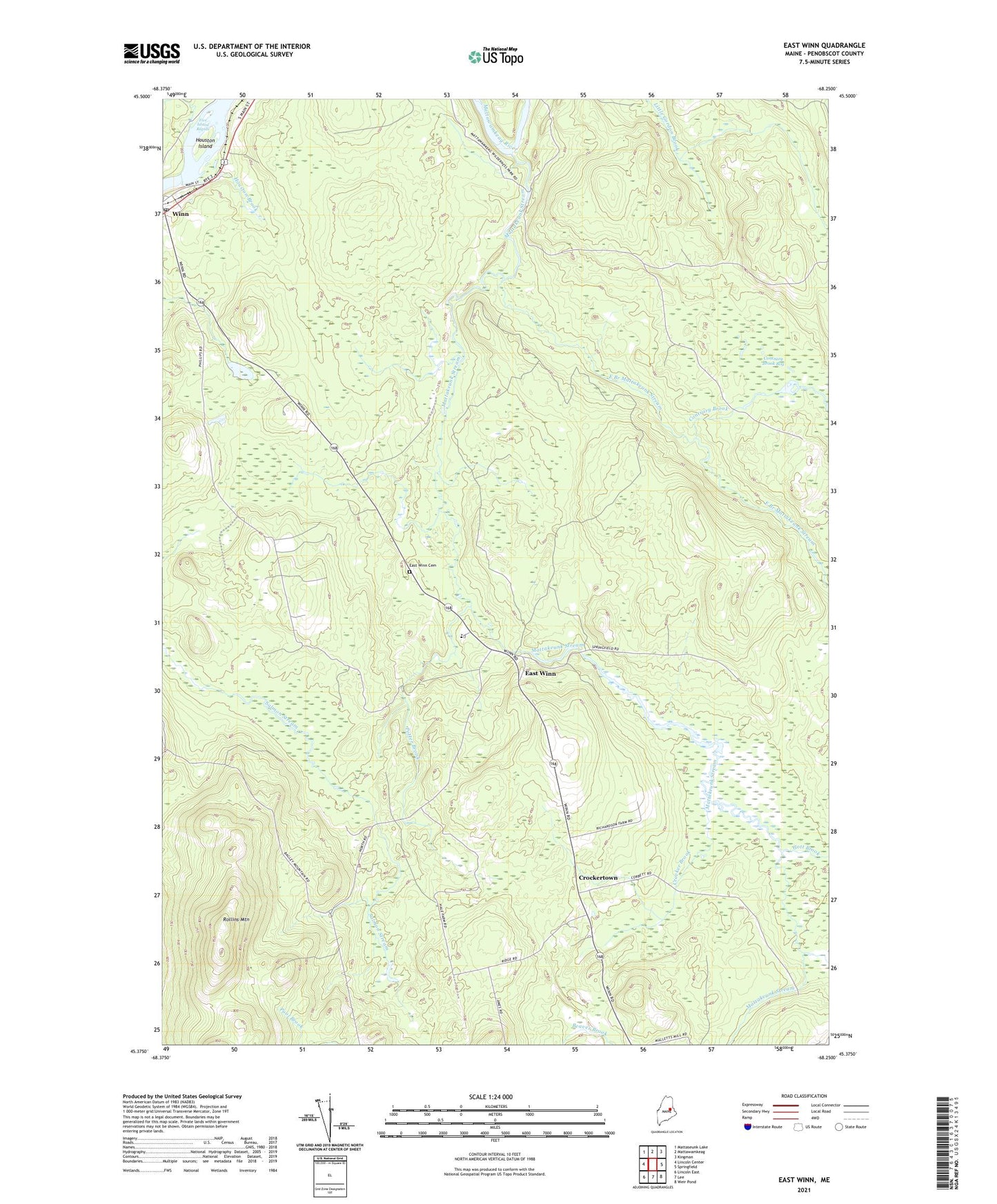
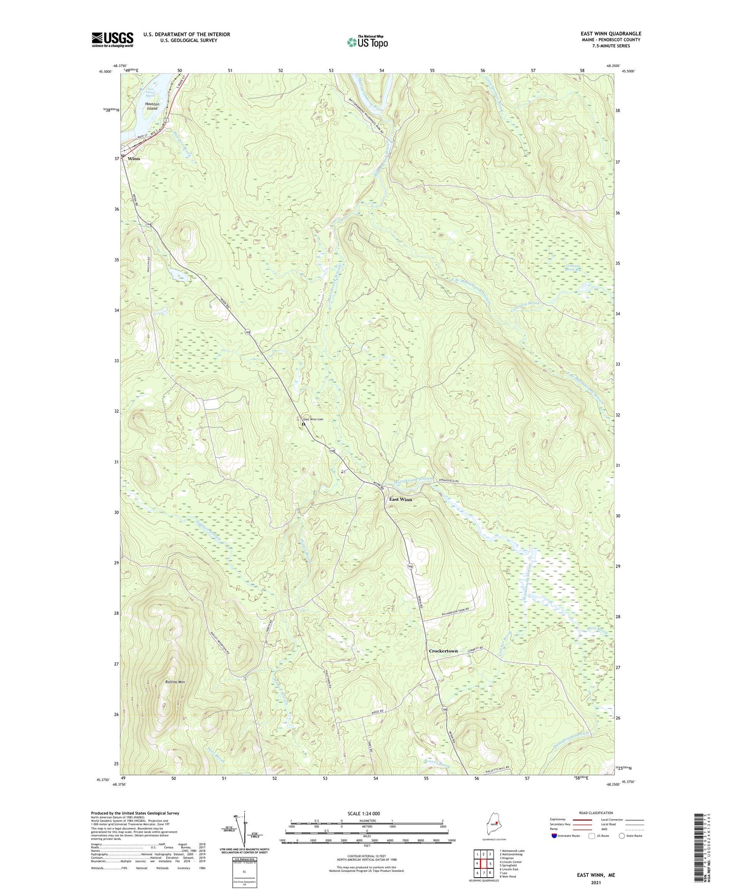
2021 topographic map quadrangle East Winn in the state of Maine. Scale: 1:24000. Based on the newly updated USGS 7.5' US Topo map series, this map is in the following counties: Penobscot. The map contains contour data, water features, and other items you are used to seeing on USGS maps, but also has updated roads and other features. This is the next generation of topographic maps. Printed on high-quality waterproof paper with UV fade-resistant inks.
Quads adjacent to this one:
West: Lincoln Center
Northwest: Mattaseunk Lake
North: Mattawamkeag
Northeast: Kingman
East: Springfield
Southeast: Weir Pond
South: Lee
Southwest: Lincoln East
Contains the following named places: Christian and Missionary Alliance Church, Contrary Brook, Contrary Brook Bog, Crocker Brook, Crockertown, Dwinal Pond, East Branch Mattakeunk Stream, East Winn, East Winn Cemetery, Five Island Rapids, Gott Brook, Houston Brook, Houston Island, Lee Winn School, Mattakeunk Stream, Potter Brook, Rollins Mountain, Town of Winn, Winn, Winn Post Office, ZIP Code: 04495