MyTopo
Great East Lake Maine US Topo Map
Couldn't load pickup availability
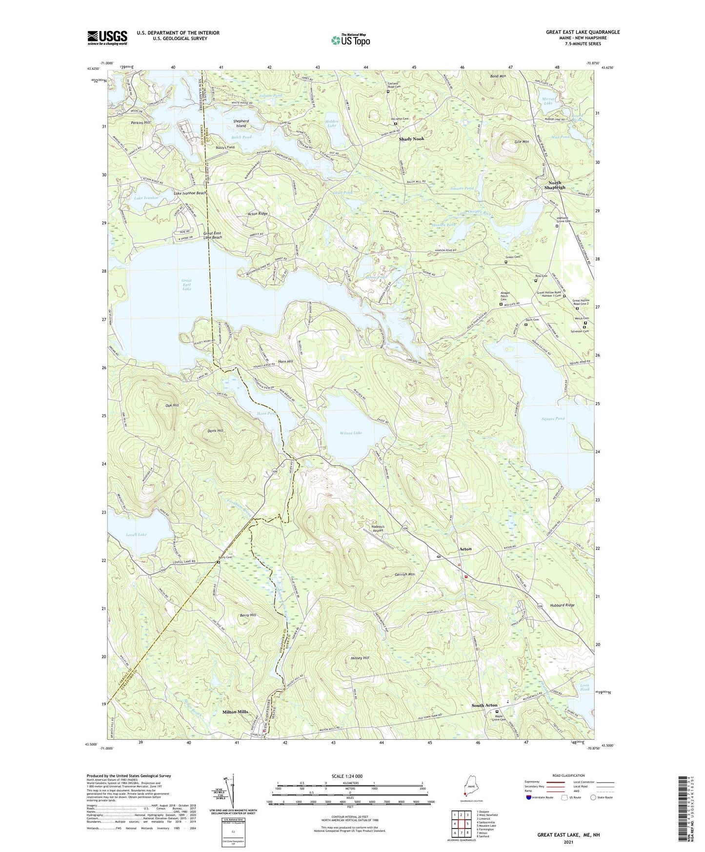
2024 topographic map quadrangle Great East Lake in the states of Maine, New Hampshire. Scale: 1:24000. Based on the newly updated USGS 7.5' US Topo map series, this map is in the following counties: York, Carroll, Strafford. The map contains contour data, water features, and other items you are used to seeing on USGS maps, but also has updated roads and other features. This is the next generation of topographic maps. Printed on high-quality waterproof paper with UV fade-resistant inks.
Quads adjacent to this one:
West: Sanbornville
Northwest: Ossipee
North: West Newfield
Northeast: Limerick
East: Mousam Lake
Southeast: Sanford
South: Milton
Southwest: Farmington
Contains the following named places: Abagail Patch Cemetery, Acton, Acton Elementary School, Acton Post Office, Acton Public Library, Acton Ridge, Acton Volunteer Fire Department, Balch Pond, Balch Pond Outlet Dam, Berry Cemetery, Berry Hill, Bond Mountain, Buzzy's Field, Camp Sa -Gis -Ca, Copp Brook, Davis Cemetery, Davis Hill, Farnham Brook, Folsom Pond, Garland Road Cemetery, Gerrish Mountain, Gile Mountain, Great East Lake, Great East Lake Beach, Great East Lake Dam, Great Hollow Road Cemetery 2, Great Hollow Road Number 1 Cemetery, Green Cemetery, Hansen Pond, Hidden Lake, Highland Grove Cemetery, Hill Keys Cemetery, Horn Hill, Horn Pond, Horn Pond Dam, Hubbard Ridge, Hussey Hill, Lake Ivanhoe, Lake Ivanhoe Beach, Loon Pond, Maple Grove Cemetery, Maple Grove Church, McCutcheon Corners, Milton Fire Rescue Station 2, Milton Mills, Milton Mills Census Designated Place, Mirror Lake, Moose Pond, Mud Pond, Nadeau's Airport, North Shapleigh, Oak Hill, Perkins Hill, Ross Cemetery, Round Pond, Rowe Dam, Salmon Falls River 10 Dam, Salmon Falls River Reservoir, Shady Nook, Shapleigh Pond, Shapleigh Pond Dam, Shepherd Island, Smarts Pond, South Acton, Spinney Church, Square Pond, Square Pond Seaplane Base, Stump Pond, Swan Pond, Sylvester Cemetery, Town of Acton, Welch Cemetery, Wilson Lake, ZIP Codes: 03830, 04001


