MyTopo
Hopkins Pond Maine US Topo Map
Couldn't load pickup availability
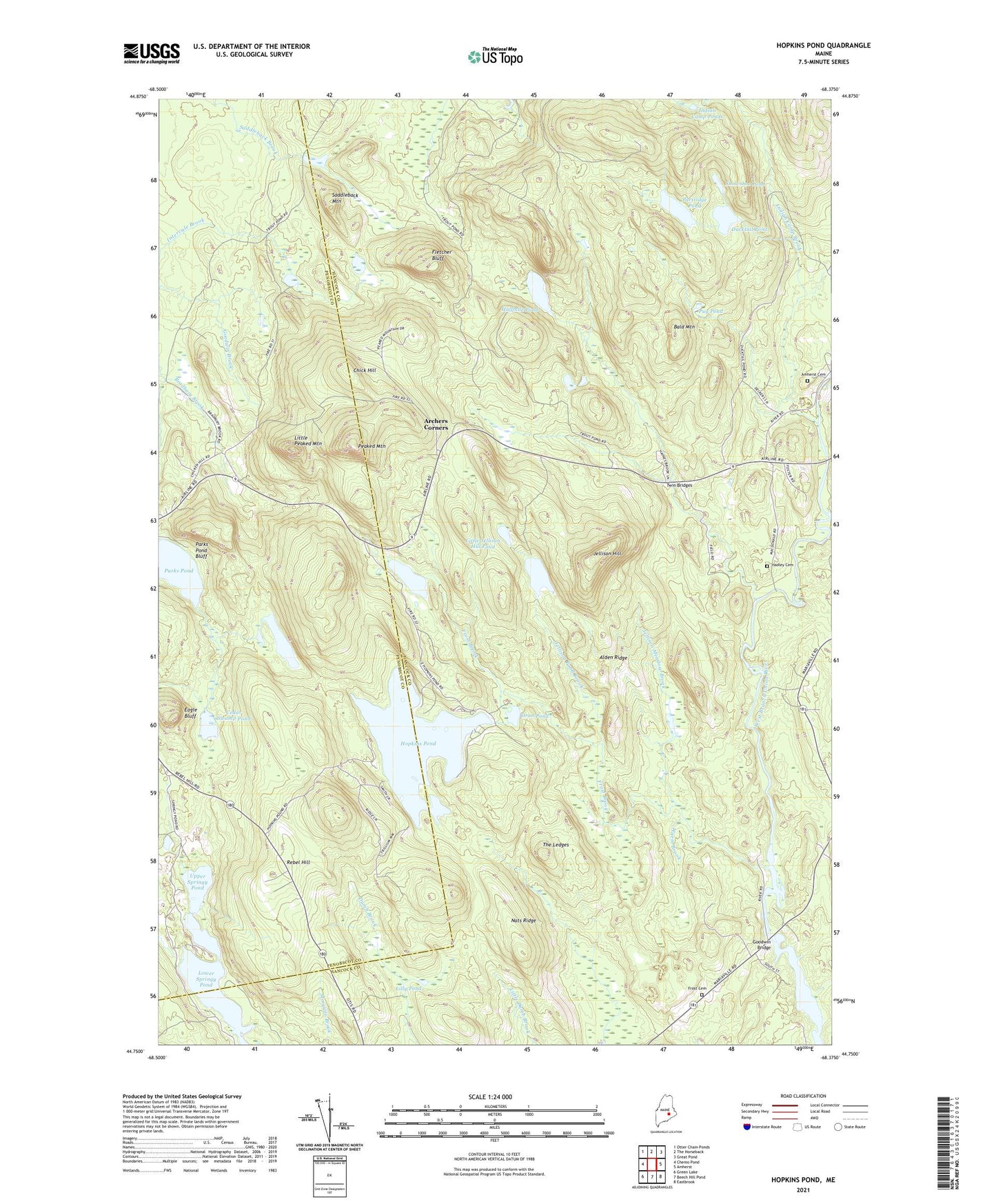
2024 topographic map quadrangle Hopkins Pond in the state of Maine. Scale: 1:24000. Based on the newly updated USGS 7.5' US Topo map series, this map is in the following counties: Hancock, Penobscot. The map contains contour data, water features, and other items you are used to seeing on USGS maps, but also has updated roads and other features. This is the next generation of topographic maps. Printed on high-quality waterproof paper with UV fade-resistant inks.
Quads adjacent to this one:
West: Chemo Pond
Northwest: Otter Chain Ponds
North: The Horseback
Northeast: Great Pond
East: Amherst
Southeast: Eastbrook
South: Beech Hill Pond
Southwest: Green Lake
This map covers the same area as the classic USGS quad with code o44068g4.
Contains the following named places: Alden Ridge, Amherst Cemetery, Archers Corners, Bald Mountain, Cedar Swamp Pond, Chick Hill, Chick Hill Lookout Tower, Cranberry Pond, Debec Pond, Ducktail Pond, Eagle Bluff, Fletcher Bluff, Frost Brook, Frost Cemetery, Goodwin Bridge, Hadley Cemetery, Halfmile Pond, Hopkins Pond, Indian Camp Brook, Indian Camp Ponds, Jellison Hill, Jellison Hill Pond, Jellison Meadow Brook, Jellison Pond Brook, Lilly Pond, Little Jellison Hill Pond, Little Peaked Mountain, Lower Springy Pond, Middle Springy Pond, Nats Ridge, Oran Pond, Parks Pond, Parks Pond Bluff, Partridge Pond, Peaked Mountain, Peaked Mountain Trail, Pershing School, Pug Pond, Rebel Hill, Saddleback Mountain, Snowshoe Pond, The Ledges, Twin Bridges, Upper Springy Pond, Warm Brook


